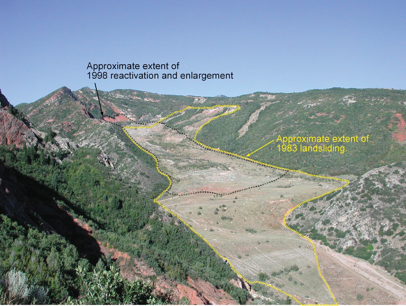
Thistle landslide, 2001. View to the west from pullout on U.S. Route 6/89. Yellow line shows approximate extent of 1983 landsliding. Black line shows approximate extent of 1998 reactivation and enlargement.

Thistle landslide, 2001. View to the west from pullout on U.S. Route 6/89. Yellow line shows approximate extent of 1983 landsliding. Black line shows approximate extent of 1998 reactivation and enlargement.

In rocks we trust. Amen.

In maps we trust. Amen.
1594 W. North Temple
Leave a Reply
Want to join the discussion?Feel free to contribute!