Geologic Hazards

Geologic Hazard Assistance

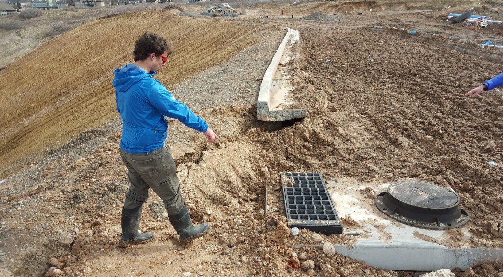
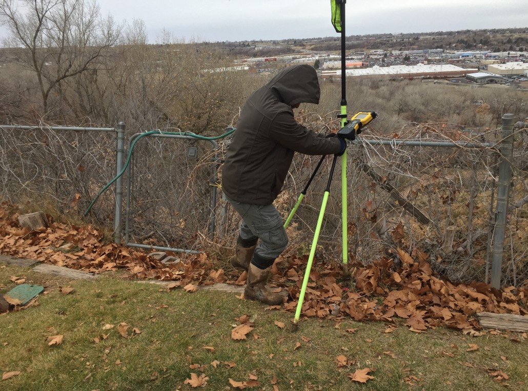
The Geologic Hazards Program of the UGS helps provide for public safety in Utah by assisting cities, towns, and counties in dealing with geologic hazards. This assistance includes providing emergency response when a hazardous geologic event occurs as well as assisting in site-specific studies to identify potentially hazardous areas prior to development. UGS assistance before, during, and after geologic-hazard events is essential in helping local governments make informed decisions to protect the public from geologic hazards, including life safety, injury, and economic impacts.

Map Map Geologic Hazards Portal
GeoData Archive System
Doc-text Doc-text Submit Geologic Reports

Services for Local Governments and Other Agencies

Using Geologic Hazards Information to Reduce Risks and Losses

Many of the geologic processes that shaped Utah’s landscape over the past few million years remain active today. Utah has experienced loss of life and property damage from geologic hazards throughout its history and may expect more in the future. Local governments can reduce both risks and losses if they use geologic hazards information in ordinances and general plans.

Specific procedures adopted by local governments will vary depending on many factors including:

  • Types and characteristics of the geologic hazards present
  • Availability of geologic hazards maps
  • Ability of local government staff, elected/appointed officials, and consultants to understand and use geologic hazards information
  • Potential for new development
  • Community attitudes toward risk
  • Costs for study and risk reduction are immediate and measurable. Benefits are long-term and uncertain.

Geologic hazards exist in all types of terrain. Usually, their potential can be identified prior to development and measures can be taken to prevent damage. These measures may include avoiding construction in hazardous areas, engineering buildings and other facilities to withstand the effects of hazards, erecting structures to protect buildings and other facilities from hazards, and grading the site to reduce risks. Hazard mitigation, however, is impossible without hazard recognition. Failure to recognize and do something about geologic hazards prior to development has caused personal tragedy and property loss in Utah.

Who is Liable for Damage?

Building safely in areas with geologic hazards requires extra care and vigilance. Including geologic hazards maps in ordinances and general plans is an important first step, along with requiring investigation of geologic hazards, depending on the site. Investigation results should be used to modify development plans to reduce risk to an acceptable level and identify long-term maintenance needs, resulting in fewer deaths, injuries, private property losses, and costs to taxpayers.

Most policies do not cover damage from geologic hazards.

Few owners purchase appropriate supplemental insurance.

Typically, only flood and earthquake-related hazards are insurable.

Development approvals and permits were issued.

They are easy to locate and always present.

They are often considered a “deep pocket,” but few local governments have extra funds.

Generally, a public agency is not liable due to governmental immunity and relying on licensed professionals for information.

This may include property developers, contractors, designers, or geological consultants.

They are often hard to locate or no longer liable (statute of limitations).

They may be out of business.

UGS Services:

Geologic Hazards Planning Assistance
Assist in planning, zoning, and permit-approval issues by:

  • Aiding in preparing master plans and ordinances addressing geologic hazards.
  • Preparing maps showing areas subject to geologic hazards (cooperative funding is generally required).
  • Reviewing geologic hazards reports for essential public facilities (police and fire stations, water tanks, schools).

Geologic Hazards Response
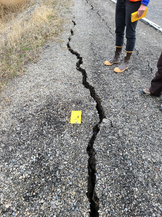
Respond immediately during and after geologic hazard events and natural disasters, including earthquakes, landslides, floods, and ground subsidence, to:

  • Advise emergency-response officials.
  • Assess the nature and extent of the hazard.
  • Determine the likelihood for short- and long-term recurrence.
  • Assist in assessing risk.

Information for Homebuyers and Real Estate Agents

Geologic processes damage homes in Utah every year. Whether you are buying or selling a home, selecting a building site, or assessing existing property, it is important to consider the geologic risk factors that may affect your property and surrounding areas. An initial engineering-geology investigation could help property owners avoid costly damages or risk to life safety should a geologic hazard event occur. Hazard awareness also offers homeowners the opportunity to protect property through insurance, retrofitting, and other risk-reduction measures. Losses due to geologic hazards are not covered by typical homeowner’s insurance policies.

There are several ways to investigate hazard potential through various hazard-related resources. Geologic hazard maps are useful for indicating potential geologic hazards that could exist for a neighborhood or subdivision-sized land parcel. Both statewide and county hazard potential maps are available for various types of hazards that affect Utah. Local municipalities may also be able to provide geotechnical reports and may have adopted geologic hazard ordinances.

Considerations for Geologic Hazards and Real Estate

  • Disclosures

    Do not assume that local government approval of a subdivision or building permit guarantees safety from geologic hazards. Utah state law does not require realtors to verify or disclose geologic hazards.

  • Insurance

    Losses due to geologic hazards are not covered by typical homeowner’s insurance policies. For a summary of flood and earthquake insurance in Utah, visit the Utah Insurance Department. Learn More.

  • Special Flood Hazard Areas

    Check if the property is located in a federally designated special flood hazard area by going to the Federal Emergency Management Agency (FEMA) and obtaining a Flood Insurance Rate Map (FIRM) for your area. Flood insurance is recommended if you live in a floodplain and may be required by a lender if buying real estate in high-risk areas. View Maps.

  • Geologic Hazard Problems

    If you have geologic hazard problems, contact the engineering, planning, or development services department of your city or county government. If the city or county cannot resolve the problem, contact a licensed and insured geotechnical consultant or consulting firm—search for “Engineers-Geological” and “Engineers-Geotechnical-Soils.” You can verify that any geologists, engineers, and/or contractors you use are licensed in the state of Utah as well. View Licensee Lookup & Verification System.

  • Be Earthquake Ready

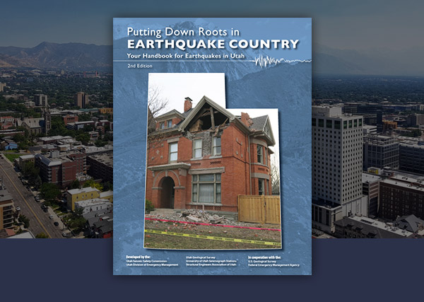
    You can significantly increase safety at home by following a few simple steps. For earthquake safety and preparedness information, go to Be Ready Utah. After a large earthquake, utilities and emergency services will likely be delayed. A household should be prepared for 72 to 96 hours of self-sufficiency after a major earthquake. Learn More.

School Site Evaluation and Report Review Services

To ensure that proposed school building sites are investigated for potential geologic hazards, the Utah State Office of Education (USOE) recommends a preliminary site screening evaluation by the UGS, the preparation of detailed geologic-hazard reports by professional consultants (employing Utah licensed geologists) retained by the school district, and subsequent review of those geologic-hazard reports by the UGS.

The purpose of the geologic-hazard report review is to ensure that site-specific geologic-hazard investigations are sufficiently thorough, that the report conclusions regarding any identified geologic hazards are valid, that proposed mitigation measures are reasonable, and that geologic hazards are addressed uniformly and effectively throughout the state. The purpose of the preliminary site screening evaluation is to identify any significant geologic hazards that should be considered in the decision making process for school-site selection.

The USOE School Construction Resource Manual contains additional information related to USOE requirements for school construction. Also, see the Utah State Office of Education – Geologic-Hazard Report Guidelines and Review Checklist for New Utah Public School Buildings.

Preliminary School Site Screening and Evaluation

During the initial school site selection process, the UGS performs preliminary site screening evaluations prior to design and construction to identify any significant geologic hazards that should be considered in the school-site selection process.

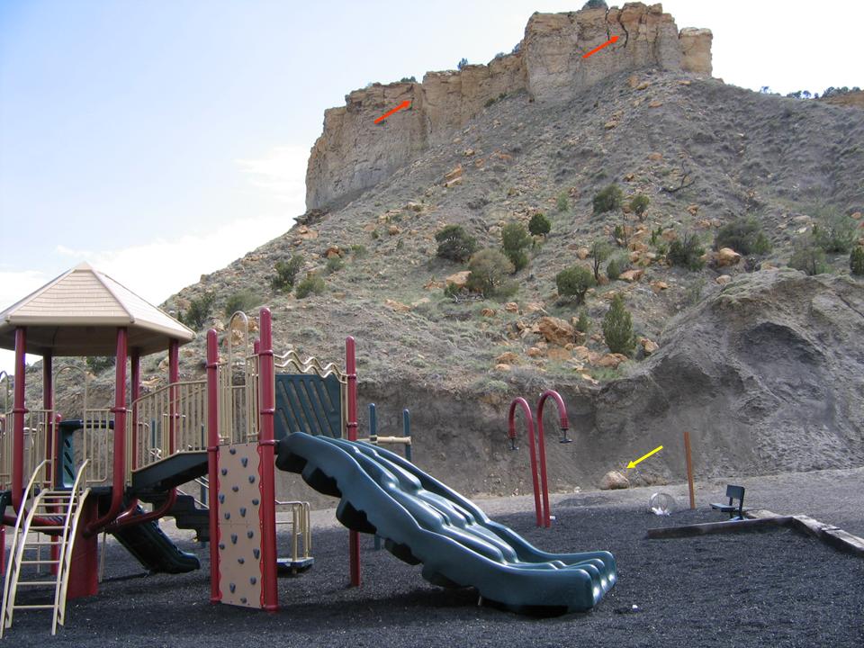
This evaluation consists of a general literature review of existing geologic information published or housed by the UGS and other information that may be available. The evaluation will be summarized in a report that typically identifies the potential for earthquake ground shaking, surface fault rupture, liquefaction, tectonic subsidence, landslides, rock fall, earthquake-induced flooding, debris flows, collapsible soils, expansive soil and/or rock, erodible soils and/or rock, shallow groundwater and/or bedrock, flooding (such as from streams, lakes, canals, and/or dam failures), karst conditions, wind-blown sand, and indoor radon.

A site visit is typically not required, except for unusual site conditions, or upon request. To request a preliminary school-site screening evaluation, contact the UGS School Site Review Coordinator (see below) for your particular site location.

The preliminary school site screening evaluation report should be used during the school site selection process to determine if any significant geologic hazards may be present at a particular site, and if so, to help determine if the geologic hazards can be properly and cost-effectively mitigated during design and construction.

The evaluation report should also be provided to the design team, including the project geotechnical consultant, to help guide geologic-hazard and geotechnical investigations. A Phase I Environmental Site Assessment, performed by professional environmental consultants following the ASTM E1527 standard, is also recommended to determine the land-use history and other related issues at a particular site.

UGS Preliminary School Site Screening Evaluation Fees
School Sites Fee Travel (if required)
One School $550.00 Current State
Travel Rates
2-3 Sites in Same City/Area $750.00
Special Conditions (additional costs) $40.00/hr

Geologic Hazard Reports and UGS Review

Once a preliminary school site screening evaluation has been performed and a school-site selected, a geologic-hazard report should be prepared by a professional consultant licensed in Utah. This report may be combined with a geotechnical report, but at a minimum, must include the information detailed in the geologic-hazard report guidelines.

Report guidelines and review checklist have been prepared to assist in the preparation of geologic-hazard reports for new Utah public school buildings, to facilitate the review of those reports by the UGS, and to provide feedback related to geologic hazards to school-site development consultants. The guidelines and checklist also contain information on geologic-hazard data sources, a list of references cited, and a brief geologic-hazard glossary.

The UGS will review geologic-hazard reports from a geologic perspective; however, if hazard evaluation or risk reduction measures include engineering analyses, design, and/or recommendations, a Utah-licensed Professional Engineer specializing in geotechnical engineering must review them.

During the review process, the UGS School-Site Review Coordinator will review each submitted geologic-hazard report for pertinent information related to 16 items associated with the project and geologic hazards as indicated on the checklist, determine if the report adequately addresses each item, and provide brief comments on the item, if needed.

UGS Geologic-Hazard Report Review Fees
Report Fee Travel (if required)
Per Report $500.00 Current State
Travel Rates
Special Conditions (additional costs) $40.00/hr

Utah School-Site Review Contacts

Utah Geological Survey, Geologic Hazards Program
Program Manager – Adam McKean, (801) 537-3386, adammckean@utah.gov

For Northern/Central Utah

Box Elder, Cache, Carbon, Daggett, Davis, Duchesne, Emery, Grand, Juab, Millard, Morgan, Rich, Salt Lake, Sanpete, Sevier, Summit, Tooele, Uintah, Utah, Wasatch, and Weber Counties

School Site Review Coordinator:
Steve Bowman, (801) 537-3304, stevebowman@utah.gov

Utah Geological Survey
1594 West North Temple, Suite 3110
P.O. Box 146100
Salt Lake City, Utah 84114-6100
(801) 537-3300, FAX (801) 537-3400

For Southern Utah

Beaver, Garfield, Iron, Kane, Piute, San Juan, Washington, and Wayne Counties:

School Site Review Coordinator:
Tyler Knudsen, (435) 865-9036, tylerknudsen@utah.gov

Utah Geological Survey
Southern Utah Regional Office
88 East Fiddler Canyon Road, Suite C
Cedar City, Utah 84721
(435) 865-9034, FAX (435) 865-9037

Utah State Office of Education (USOE)

School Construction and Facilities

School Construction Inspection Specialist:
Contacts coming soon.

Utah State Board of Education
250 East 500 South
Salt Lake City, Utah 84114
(801) 538-7500, FAX (801) 538-7729

Emergency Response

Since 1850, over 6,000 fatalities, an undetermined number of injuries, and billions of dollars of economic losses from geologic hazards have been documented in Utah. When a geology-related emergency occurs, local emergency managers and first responders need clear, unbiased scientific information related to the initial safety of the site. The Utah Geological Survey (UGS) is tasked with answering a few questions after a geologic emergency.

  • Is the site likely safe for first responders and others to enter and work?
  • What geologic information is needed to reduce the risk?
  • Is geologic monitoring needed to increase safety?
  • Are additional events likely to occur within a short time frame?
  • Are other nearby areas at risk from geologic hazards?

After the initial emergency response, local governments are often left with uncertainty regarding the right steps to take for the emergency event over time, how to minimize the impact to residents and others, how to reduce the risk of the current event, and whether other areas are at risk and what can be done to reduce the risk of future events.

UGS Services:

The UGS Geologic Hazards Program has experienced engineering geologists who are available to provide assistance at any time to local governments and the Utah Department of Emergency Management (UDEM) when a geologic emergency occurs. For particularly significant emergency events, responses are managed from the UGS Emergency Operations Center (EOC) at the Utah Department of Natural Resources Building in Salt Lake City. The UGS works in conjunction with the state UDEM EOC at the Utah State Capitol, the State Hazards Mitigation Team, various local governments, and other agencies. If mobile phone communication is unavailable, the UGS can use radio communication between the various EOCs and field staff throughout the central Wasatch Front.

The UGS provides unbiased geologic advice to local governments and the public after an event to help them make informed decisions on the potential for additional, future events, possible mitigation measures to reduce risk, and on restricting public access to specific areas, if warranted, to protect public safety.

No Utah local governments have engineering geologists experienced with geologic hazards on staff, so the services provided by the UGS are critical during and after geologic hazard events. As a non-regulatory scientific agency, the UGS provides unbiased, objective geologic information to local governments and the public, so informed decisions can be made to protect the public and others from geologic hazards, including life safety, injury, and economic impacts.

Dealing with Geologic Hazard Problems

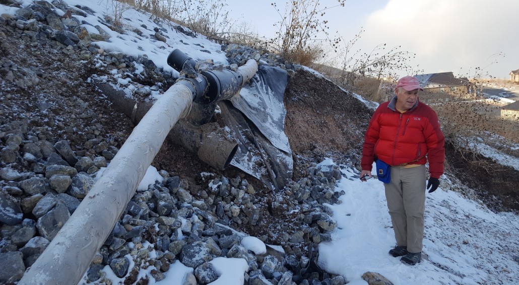
For issues such as water uncontrollably seeping into a basement or sidewalks shifting or buckling, the first plan of action is to contact your city or county’s public works, engineering, planning, or development services departments. The problem may be one that these agencies can assist with. If the city or county cannot help you, a geotechnical consultant or consulting firm should be contacted. Many can be found through an online search for “Geologist” or “Geotechnical Engineer.” The home/property owner should contact several consultants to compare cost estimates and quality of services.

Geotechnical consulting firms have engineers and geologists who are trained to identify and mitigate geologic hazards (slope instability, shallow groundwater, and earthquake hazards to list a few). Professionals can recommend and design drainage systems for home foundations and slopes as well as suggest methods to stabilize slopes and reconstruct yards. Geotechnical consultants can also determine if a geologic hazard is localized to your property or part of a larger issue with the potential to affect several pieces of property or a neighborhood. You can verify that any geologists, engineers, and/or contractors you use are licensed in the state of Utah in the Licensee Lookup & Verification System.

Utah Geological Survey
1594 West North Temple
P.O. Box 146100
Salt Lake City, Utah 84114-6100
(801) 537-3300

Salt Lake County Planning
2001 South State Street, Room N3700
Salt Lake City, UT 84190-4200
(801) 468-2061
www.pwpds.slco.org

Utah County Planning
100 East Center Street, Room 3700
Provo, UT 84601
(801) 370-8344
www.co.utah.ut.us

Davis County Planning
Davis County Courthouse, Room 221
Farmington, UT 84025
(801) 451-3278
www.co.davis.ut.us

Tooele County Planning
47 South Main, Room #213
Tooele, UT  84074
(435) 843-3160
www.co.tooele.ut.us/building/planning.htm

Wasatch County Planning
55 S 500 E
Heber City, Utah  84032
(435) 657-3205
www.co.wasatch.ut.us/planning.aspx

Weber County Planning
Weber Center
2380 Washington Blvd., Suite 240
Ogden, UT 84401
(801) 399-8791
www1.co.weber.ut.us

Resources for Consultants and Design Professionals

These resources are non-comprehensive and available to assist those involved with geotechnical, geologic-hazards, and other land-use investigations in Utah.

Recommended Geologic Hazard Report Guidelines

Although these guidelines have been superseded, some ordinances still reflect these older guidelines.

Engineering Geology Reports

Hazards Ordinances

Surface Fault Rupture

Landslides

Debris Flows

School Sites

A brief list of non-Utah Geological Survey publications that contain background information and investigation techniques about geologic hazards and geotechnical engineering for professionals practicing in Utah. Links to digital copies in the public domain are provided where available.

Field Methods

General Geologic Hazards

Earthquakes and Surface Fault Rupture

Geotechnical Engineering

Liquefaction

Radon

Slope Stability/Rock Mechanics

  • Hoek, E., 2006, Practical rock engineering: North Vancouver, British Columbia, Evert Hoek Consulting Engineer, Inc., variously paginated.

Soil Mechanics

  • Naval Facilities Engineering Command, 1986, Soil Mechanics, Design Manual 7.01: Naval Facilities Engineering Command, variously paginated.

Wasatch Fault Geologic Maps and Publications

Additional Resources

Helpful Resources and Fact Sheets

These resources are non-comprehensive and available to assist those involved with geotechnical, geologic-hazards, and other land-use investigations in Utah.

Recommended Reading, Further Resources, and Contacts

For more information, contact:

Adam McKean, Geologic Hazards Program Manager, adammckean@utah.gov
PHONE (801) 537-3386 • FAX (801) 537-3400

For local governments experiencing a geology-related emergency event, contact the UGS directly at (801) 537-3300, or after-hours and on weekends, contact the Utah Division of Emergency Management (DEM) through your emergency manager and the DEM on-call duty officer who will contact the UGS.