Aerial Imagery
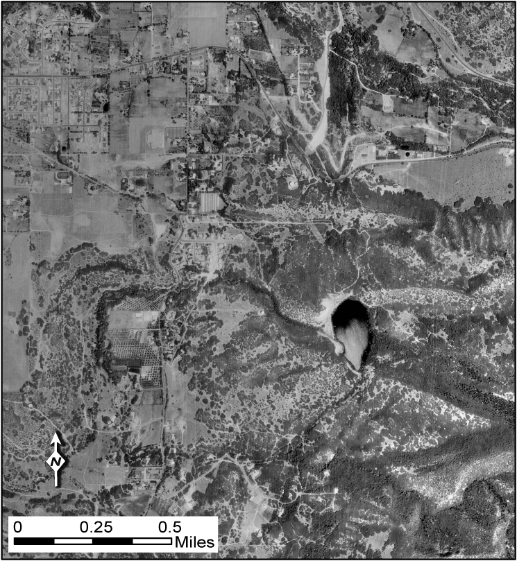
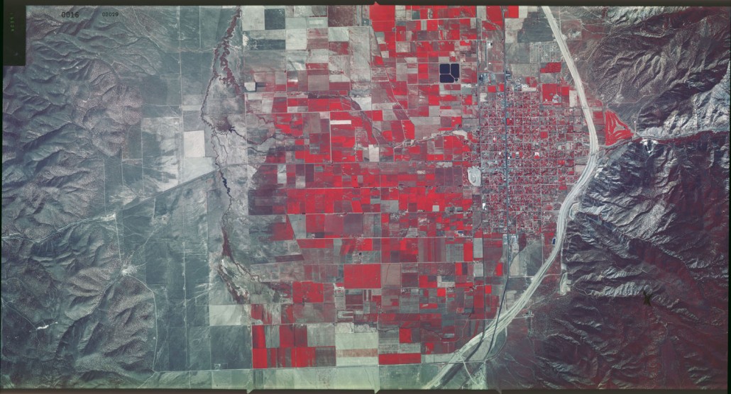
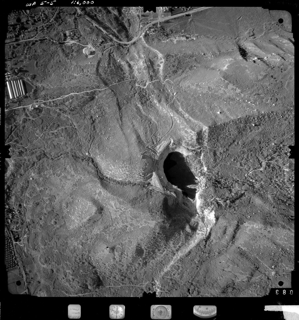
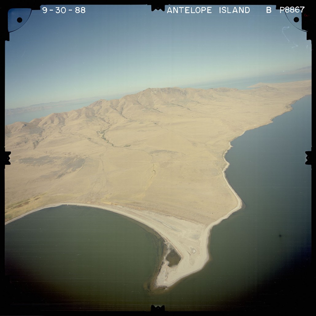
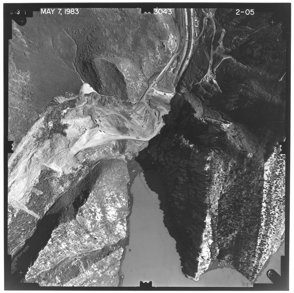
Aerial photography and imagery are used in geologic, geotechnical, and environmental assessment and investigation projects; land-use planning; ASTM Phase I Environmental Site Assessments; projects documenting land-use, geomorphologic, geologic-hazard, and other changes that may have occurred in a particular area; and, as a historical archive.
Additional Resources
Orthophoto Maps
Historical (1936-1952) U.S. Department of Agriculture, Soil Conservation Service semi-controlled orthophoto maps (generally 15-minute quadrangle size), scanned and georeferenced by the UGS, are available from the Utah Automated Geographic Reference Center’s (AGRC) Image Server using the AerialPhotography_BlackWhite/SCS_HistoricImagery service. This dataset represents the earliest known orthophoto data of Utah.
- Follow instructions at AGRC: Using the Utah SGID Image Server (for ArcGIS)
Other clients are available here. - Open AerialPhotography_BlackWhite/SCS_HistoricImagery service.
- View orthophoto data.
Aerial Photo Comparison
Four Locations between Salt Lake City and Alpine, Utah
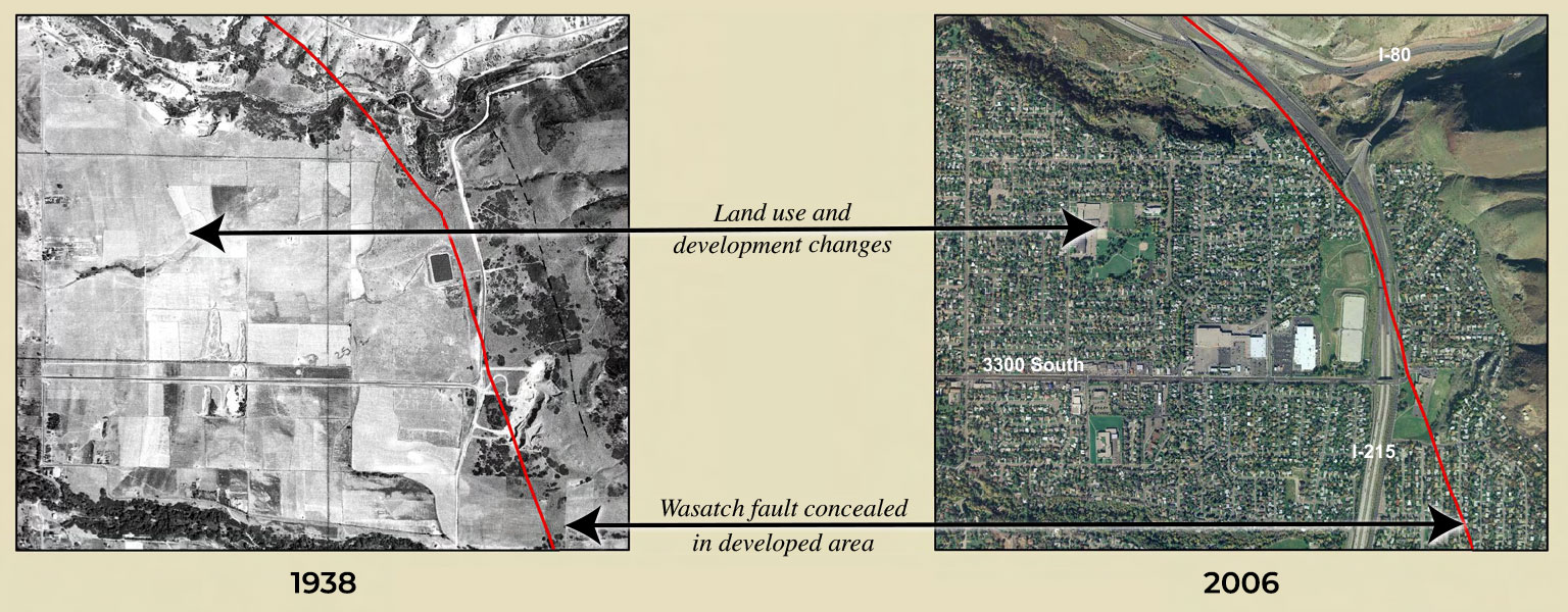
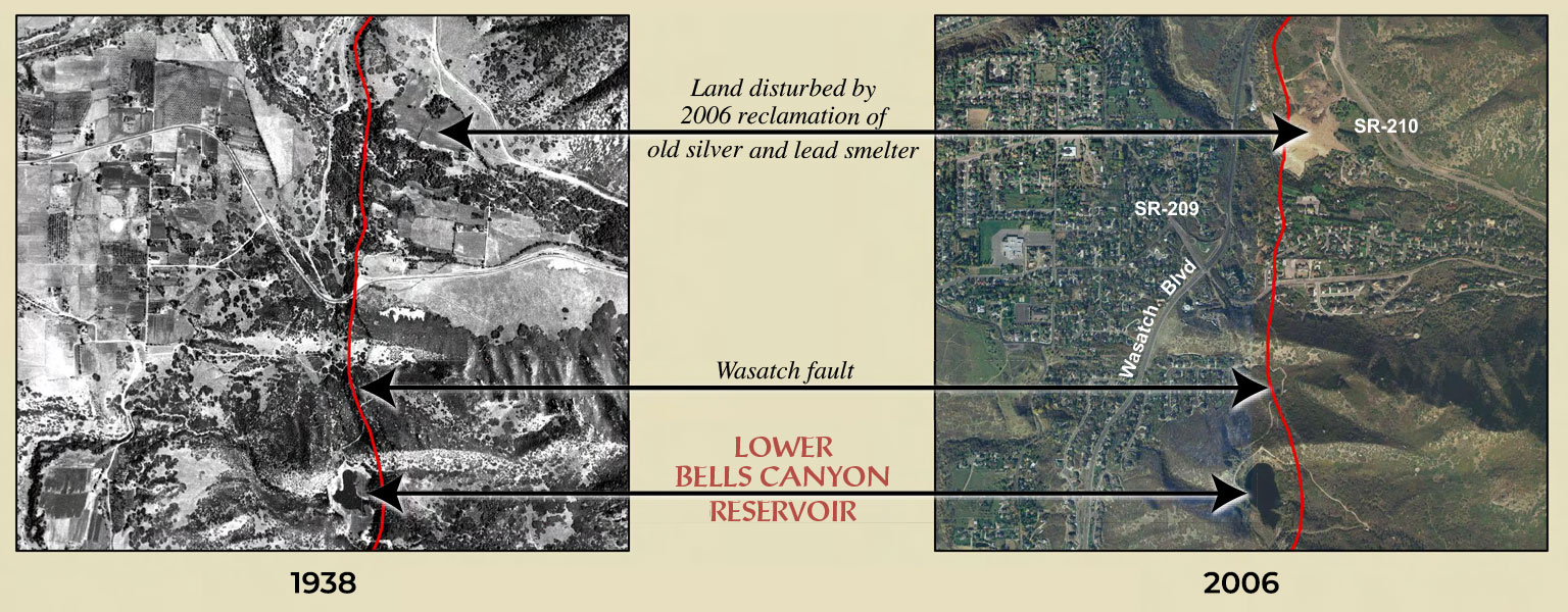
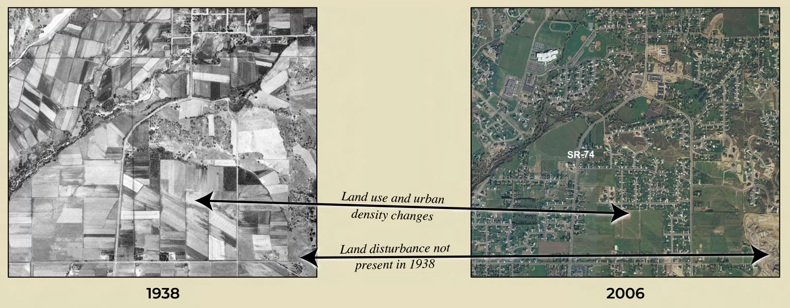
These eight aerial photographs show land-use and urban density changes between 1938 and 2006 at four locations in Salt Lake and Utah Counties. The 1938 photos were taken as part of the U.S. Bureau of Reclamation Salt Lake Aqueduct Project. The 2006 photos were taken as part of the U.S. Department of Agriculture National Agriculture Imagery Program. These four locations, along with 178 other photos, are in UGS Open-File Report 537 Historical Aerial Photography; 1938 Salt Lake Aqueduct Project; Salt Lake, Utah, and Wasatch Counties, Utah (PDF). This publication is also available as a DVD that can be purchased from the Utah Department of Natural Resources Map & Bookstore.
The general location of the Wasatch fault is shown on the photos at the mouths of Parleys, Big Cottonwood, and Little Cottonwood Canyons as a red line (parts of the fault may be concealed or inferred). Download these photo comparisons (PDF).
Parleys Canyon
This photo pair illustrates near complete conversion of agricultural land to residential and commercial development along the two Interstate highways (I-80 and I-215). The Wasatch fault is generally not visible in the developed areas in the 2006 photo.
Big Cottonwood Canyon
This photo pair illustrates significant land-use and urban density changes, including the development of residential neighborhoods, commercial buildings, and an aggregate mining operation. The Wasatch fault is concealed by the aggregate operation in the 2006 photo, due to surface disturbance.
Little Cottonwood Canyon
This photo pair illustrates similar land-use and urban density changes as Big Cottonwood Canyon, along with the 2006 reclamation of an old silver and lead smelter. This photo pair also illustrates shoreline changes to Lower Bells Canyon Reservoir between 1938 and 2006.
Alpine
This photo pair illustrates the on-going conversion of agricultural to residential and commercial land use. In addition, a large area of surface land disturbance is shown in the lower right corner of the 2006 photo that is not present on the 1938 photo.
Historical Aerial Photography Compilations
Each aerial photography compilation includes digitally scanned aerial photography frames in TIFF format, explanatory text, Google Earth index with reduced resolution thumbnail images of the frames, an ESRI Shapefile for use with GIS software, and one or more frame center point index sheets in Adobe PDF format. Scanned, original project indexes are included, if available.
Due to the large file sizes of scanned aerial photography frames, these files are available on DVD from the Natural Resources Map & Bookstore and may be available in the UGS Aerial Imagery Collection.
1938 Salt Lake Aqueduct Project; Salt Lake, Utah, and Wasatch Counties, Utah
Bowman, S.D., and Beisner, K., 2008, Utah Geological Survey Open-File Report 537, 2 p., 1 plate, DVD.
Text (pdf)
Google Earth Index (kmz)
GIS Shapefile (zip)
Click to purchase
1937 Farm Service Agency AAJ/AAK Project, Davis, Weber, and Box Elder Counties, Utah
Bowman, S.D., Beisner, K., and Unger, C., 2009, Utah Geological Survey Open-File Report 540, 2 p., 1 plate, DVD.
Text (pdf)
Plate 1 (pdf)
Google Earth Index (kmz)
GIS Shapefile (zip)
Click to purchase
Compilation of 1970s Woodward-Lundgren & Associates Wasatch fault investigation reports and low-sun-angle aerial photography, Wasatch Front and Cache Valley, Utah and Idaho
Bowman, S.D., Hiscock, A.I., and Unger, C.D., 2015, Paleoseismology of Utah, Volume 26, Utah Geological Survey Open-File Report 632, 8 p., 6 plates, 9 DVD set. Supersedes OFR-548
Texts (pdf): Intro, Northern Portion, Southern Portion, Cache Valley
Plates (pdf): 1A, 1B, 2A, 2B, 3A, 3B
Fault-trace Maps (as pdfs) (zip)
Google Earth Indexes (kmz) with images: Northern Portion, Southern Portion, Cache Valley
GIS Shapefile (zip)
Click to purchase
Compilation of 1982-83 seismic safety investigation reports of eight SCS dams in southwestern Utah (Hurricane and Washington fault zones) and low-sun-angle aerial photography, Washington and Iron Counties, Utah, and Mohave County, Arizona
Bowman, S.D., Young, B.W., and Unger, C.D., 2011, Utah Geological Survey Open-File Report 583, 4 p., 2 plates, six DVD set.
Report
Plate 1A. Index Map of Aerial Photography
Plate 1B. Index Map of Aerial Photography
ESA Phase I report
ESA Phase II report
Click to purchase