


Drones for Good: Utah Geologists Take to the Skies
By Christian L. Hardwick
A
n increasingly used technology tool in many job and research fields is the small unmanned aerial system (sUAS). A sUAS includes the aircraft (drone), the pilot on the ground, and the electronics system (radio, laptop, etc.) that connects them. A sUAS can optimize data collection workflows, lower costs, and reduce risk to staff in hazardous areas. The Utah Geological Survey (UGS) has added a quadcopter sUAS to its tool box to assist geoscientists with fieldwork. This addition is part of the new Department of Natural Resources (DNR) sUAS program which regulates and manages the operation of this modern-age tool among its divisions.
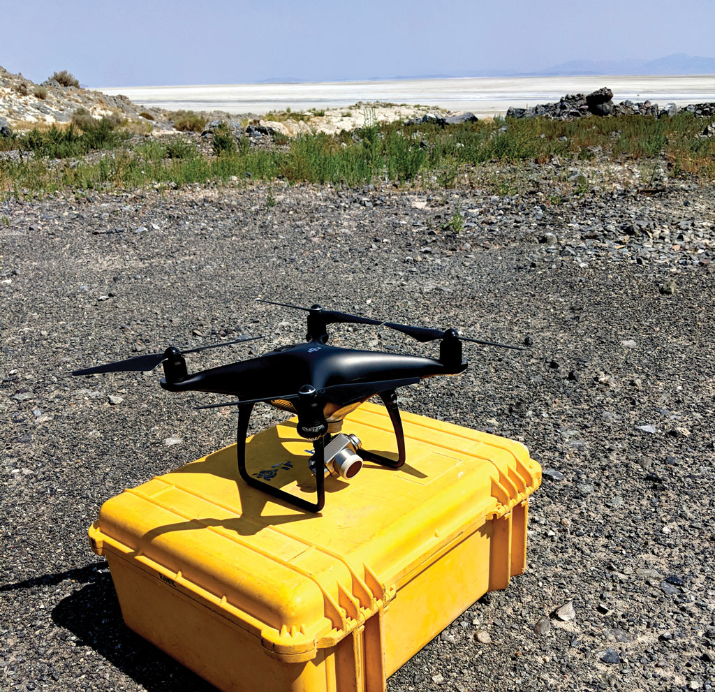
HENRY, the UGS sUAS quadcopter. Specifications and features of HENRY include a 20-megapixel camera, 20-minute average flight time per battery in planned missions, 5-direction obstacle avoidance, maximum speed of 45 MPH, and a maximum range of 7 km (4.2 miles).
A sUAS can be used for many things including live video streaming during reconnaissance, search and rescue operations, and capturing images used in aerial mapping projects. The rapid data acquisition that a sUAS provides allows us to more easily survey large areas and to carry out repeat measurements where long-term monitoring is needed. The collection of high-resolution photographs allows us to create detailed orthomosaic maps (several images stitched together) that can aid in the identification of features that may be undiscovered by crews on the ground or unresolved by high-altitude surveys. When photographs are acquired appropriately during the survey, they can be used to create three-dimensional (3D) models of the study area, allowing us to better understand both geologic and man-made structures as well as the geometry of the land. Thermal imaging sensors can also be used with sUAS to help locate thermal anomalies in potential geothermal areas, locate vegetation lineaments that could indicate subsurface features such as faults, and identify hidden water features in hydrogeologic studies.
The UGS has used sUAS in several projects over the past year. Near Lakeside, Utah, high-resolution orthomosaic maps were created and are being used for detailed mapping of lacustrine facies (rocks formed in a lake setting) along the west shore of Great Salt Lake, an area with abundant microbialites (remnants of microbial communities) as well as large-scale travertine and tufa mounds.
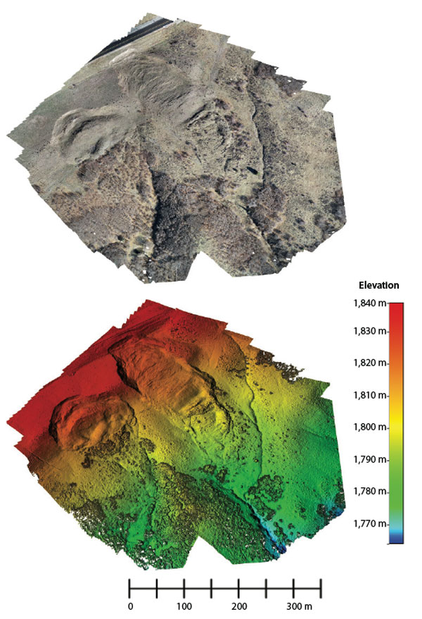
Waste Dump landslide aerial survey orthomosaic and 3D terrain model. Survey details include 25 minutes of flight time, 481 photos acquired, and 2 hours of computer processing.
In Mona, Utah, a high-resolution orthomosaic map in conjunction with a 3D model was used to generate a bathymetry map of Mona Reservoir to investigate relationships between the water level and amount of water in the reservoir. The active Waste Dump landslide along Utah Highway 167 was surveyed to create a 3D model which will assist in the long-term monitoring of the landslide as well as help characterize landslide movement.
Each of these examples presented logistical challenges whether it was the sheer size of the study area, poor access/ground conditions, hazardous environments for staff, or perhaps all the above. The sUAS has become an especially vital tool for geologic hazard analysis. Flights over active landslides enable better mapping and provide safer conditions for geologists studying the event. With the sUAS rapid deployment and processing, the system can provide a timeline of change for landslides as they grow and evolve, providing crucial data for those making public safety decisions. Additional mapping of other hazards, such as fault lines, rockfalls, fissures, and flooding can also benefit from sUAS applications.
The new sUAS is helping the UGS expand its field-data acquisition capabilities. Traditional field-mapping methods are improved by increasing field efficiency, staff safety, and expanding coverage to areas that may have been left out previously due to access, budget and/or time constraints.
