Landslide Hazards
Landslides are common natural hazards in Utah that often occur without warning and can result in destructive, costly outcomes. They can be naturally occurring or human-caused. Many Utah landslides are considered dormant, but recent slope failures are commonly reactivations of pre-existing landslides, suggesting that even so-called dormant landslides may continue to exhibit slow creep or are capable of renewed movement if stability thresholds are exceeded. Steep slopes, mountainous terrain, rock types, and narrow, debris-choked canyons all contribute to our region’s susceptibility to landslide hazards. Various types of landslides in Utah are debris flows, slides, and rockfalls.

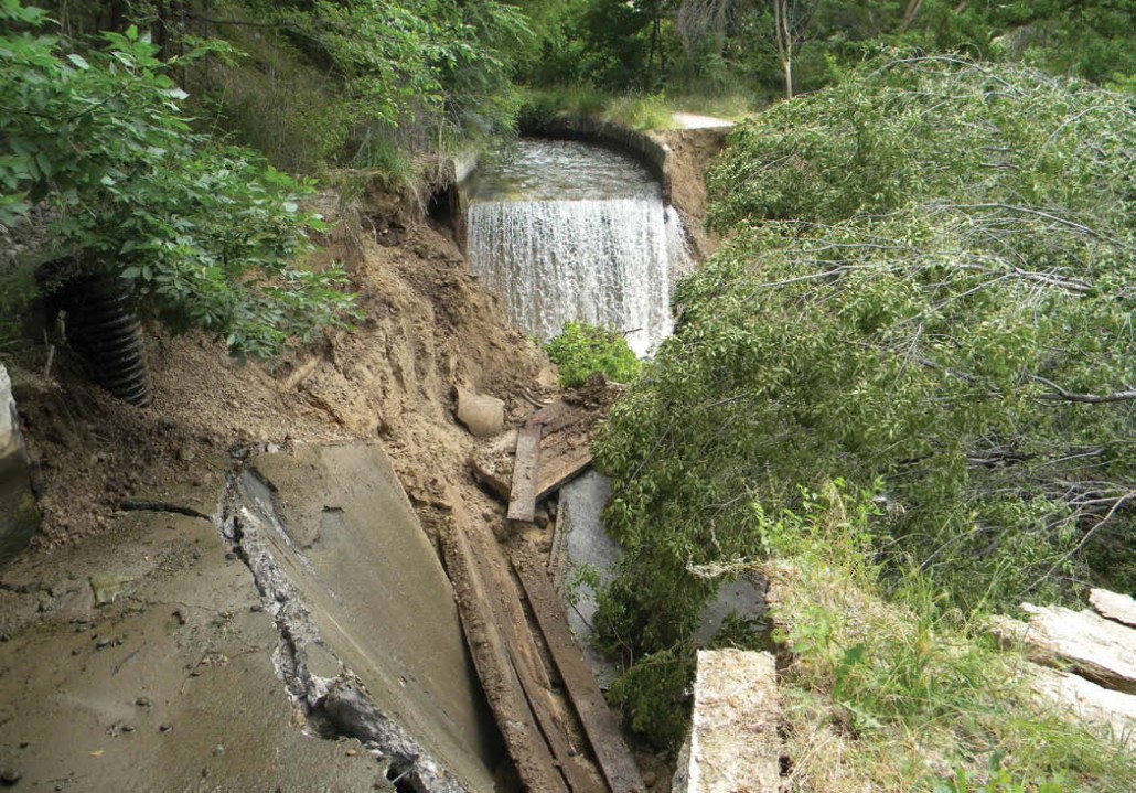


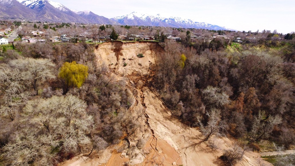
Slide and Debris Avalanche Hazards
A mass-movement involving the downslope transport, under gravitational influence, of soil and rock materials.
Rockfalls
The relatively free falling or precipitous movement of rock from a slope by rolling, falling, toppling, and/or bouncing.
Learn More.
Debris Flows
A slurry of rock, soil, organic matter, and water that flows down channels and onto alluvial fans and can travel long distances very quickly.
Learn More.

Reducing the Risk
Recognition of landslide risk prior to development and implementation of appropriate land-use planning and landslide mitigation measures are the most effective means to reduce risk. Many hillslopes are prone to landsliding, particularly where development has taken place on existing landslides or where grading has modified a slope and reduced its stability. In Utah, nearly all recent landslides have occurred as reactivations of pre-existing landslides. Therefore, historical landslides, prehistoric landslides, and steep slopes prone to landsliding must be thoroughly investigated prior to development activities, along with regional groundwater and landscape and other irrigation activities.
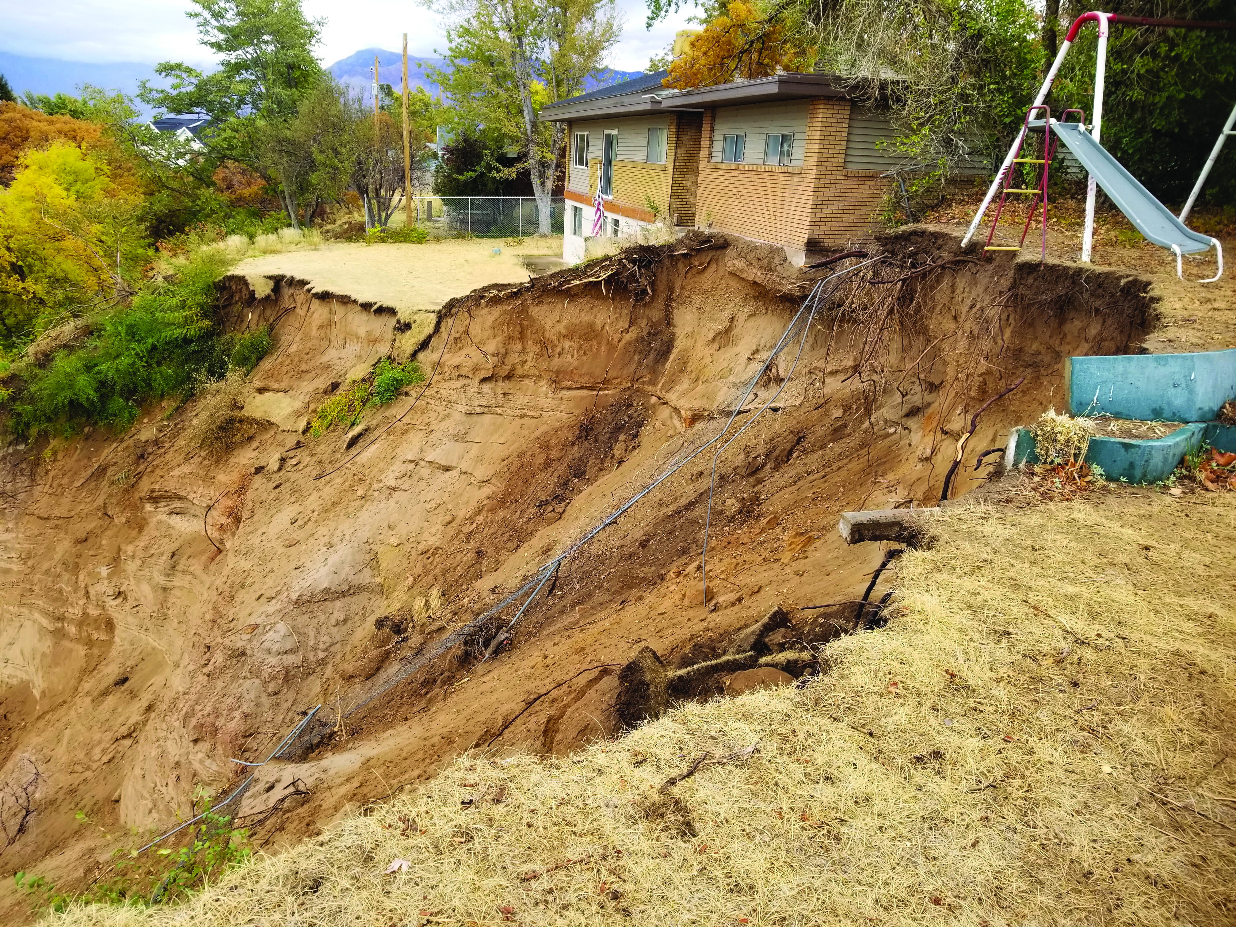
Headscarp undercutting the garage of one of the evacuated homes in Riverdale City, October 23, 2018. Photo by Ben Erickson.
When considering development on a hillslope or adjacent area property, owners should consult with local planning and building officials, nearby property owners, and geotechnical consultants knowledgeable about previous landslides and local landslide susceptibility before building in these areas. The Utah Geological Survey (UGS) recommends site-specific geologic hazard and geotechnical investigations for all new development. If landslide hazards are present, the professionals should disclose the hazards and provide appropriate recommendations for grading, groundwater control, project design, and construction that will reduce the hazards.
Excessive irrigation can easily cause a neighbor near or on a slope to lose their home from a landslide by elevating the groundwater table. The use of very-low water xeriscape landscaping and/or smart irrigation controllers that adjust the amount of water applied to landscapes based on weather, plant/turf, and soil data, can significantly reduce the amount of excess water that percolates through the soil as groundwater and save money.
Various rebates are available from Utah’s water conservancy districts for smart irrigation controllers and other water-saving devices for landscape irrigation that reduce water use and save you money.
- Central Utah Water Conservancy District – Salt Lake, Utah, Wasatch, Duchesne, Uintah, Sanpete, and parts of Summit and Juab Counties.
- Washington County Water Conservancy District
- Weber River Water Conservancy District – Davis, Morgan, Weber, and most of Summit County
Highlighted Landslide Events
- 2023, Landslide Current Events
- November 2017, Spring Creek Road Landslide, Riverdale
- 1990s to present, Springhill Landslide, North Salt Lake
- August 5, 2014, Parkway Drive Landslide, North Salt Lake
- December 12, 2013, Fatal Rock Fall, Rockville
- 2011 Landslides in Utah
- February 10, 2010, Rock Fall in Rockville, Washington County
- April 11, 2009, Rock Fall in Provo, Utah County
- 2009 Northern Utah Landslides
- 2006 Northern Utah Landslides
- 2005-2006 Creekside Drive Landslides, Mountain Green
- April 15, 2006, Sunset Drive Landslide, Layton
- April 9, 2006, South Weber Landslide, South Weber
- May 12, 2005, Rock Fall in Provo, Utah County
- April 28, 2005, Sage Vista Lane Landslide, Cedar Hills
- March 2005, East Lawn Memorial Hills Cemetery Landslides, Provo
- March 12, 2005, Kanab Creek Landslide, Kane County
- February 20, 2005, South Weber Landslide, South Weber
- 2000 – 2004, Wildfires and Debris Flows in Northern Utah
- July 26, 2004, Debris Flows near Spring Lake & Santaquin, Utah County
- April 9, 2004, East Capitol Boulevard–City Creek Landslide
- April 6, 2004, Debris Flows in Farmington, Davis County
- March 22, 2004, Rock Fall near Devils Slide, Morgan County
- September 2002, Spring Lake & Santaquin debris flow photos, Utah County
- February 2001, Frontier Drive Landslide, Mountain Green
- 2001 Heather Drive Landslide, Layton