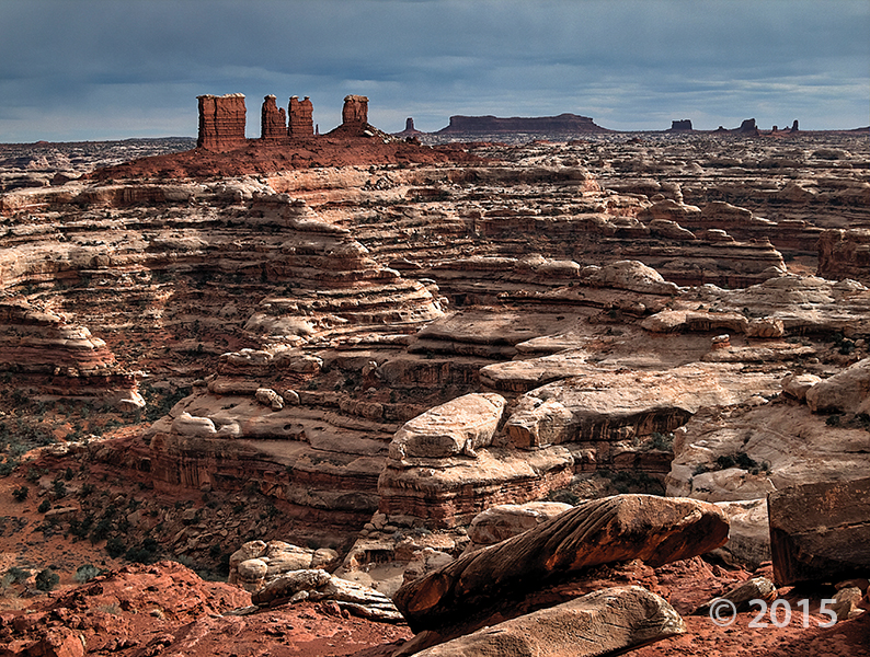
Dark Canyon Primitive Area, San Juan County, Utah
Photographer: Diane Menuz; © 2015
The stream in the lower section of Dark Canyon runs reddish brown following heavy morning rain. Sandstone of the Permian-age Cutler Group forms the canyon walls and limestone of the Pennsylvanian-age Honaker Trail Formation is exposed along the stream bed.