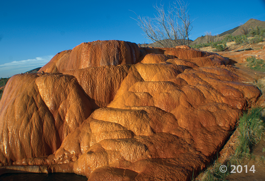
The prestigious 2015 Crawford Award was presented to UGS geologists Hugh Hurlow, Stefan Kirby, Lucy Jordan, Paul Inkenbrandt, Janae Wallace, and Mike Lowe in recognition of their combined work on the outstanding geologic publication Hydrogeologic Studies and Groundwater Monitoring in Snake Valley and Adjacent Hydrographic Areas, West-Central Utah and East-Central Nevada (UGS Bulletin 135).
This 294-page book presents hydrogeologic, groundwater-monitoring, and hydrochemical studies in Snake Valley, Tule Valley, and Fish Springs Flat in Millard and Juab Counties, west-central Utah. Collectively, this work delineates groundwater levels, flow, and chemistry in Snake Valley and adjacent basins to a much greater degree than previously possible, and emphasizes the sensitivity of the groundwater system to possible increases in groundwater pumping.
The Crawford Award recognizes outstanding achievement, accomplishments, or contributions by a current UGS scientist to the understanding of some aspect of Utah geology or Earth science. The award is named in honor of Arthur L. Crawford, first director of the UGS.
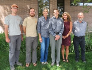
2015 Crawford Award recipients Stefan Kirby, Paul Inkenbrandt, Lucy Jordan, Hugh Hurlow, Janae Wallace, and Mike Lowe.