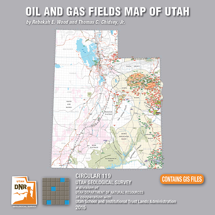
Updated Map Shows Utah’s Oil and Gas Fields
Utah is an important source of crude oil and natural gas, and is currently ranked 11th in United States production. Driven by a decadal long increase in Utah’s oil and gas production, the Utah Geological Survey (UGS) recently released an updated Oil and Gas Fields Map of Utah that shows where most drilling activity has occurred, namely within the Uinta and Paradox Basins in eastern and southeastern Utah, respectively.
This updated map displays Utah’s oil, gas, and carbon dioxide reservoirs; major pipelines; and gas storage fields. In addition to easily identifying areas of current production and potential exploration, the map also shows areas that will not be developed such as national parks and monuments, recreation areas, historic sites, and rock units not expected to contain oil and gas resources. It is beneficial for geologists, engineers, landowners and other stakeholders, as well as state, federal, and county government officials.
The UGS and State of Utah School and Institutional Trust Lands Administration funded this map with the intent to provide an up-to-date quick reference for Utah’s oil and gas resources, production, transportation, and processing. The map, UGS Circular 119, is available for purchase on CD with GIS files, or as a print-on-demand map at the Utah Department of Natural Resources Map and Bookstore, 1-888-UTAHMAP, http://www.mapstore.utah.gov/.
For more information about this map, please contact Rebekah Wood at rwood@utah.gov or 801-537-3378.
Media Contact
Nathan Schwebach
801-538-7303
nathanschwebach@utah.gov


