Tag Archive for: press release

In the first comprehensive study of its kind for Utah, Earthquake Probabilities for the Wasatch Front Region in Utah, Idaho, and Wyoming forecasts the chances for damaging earthquakes in the Wasatch Front region. In the next 50 years there is a 43 percent chance, or nearly 1-out-of-2 odds, of at least one large earthquake of magnitude 6.75 or greater. For a moderate quake of magnitude 5 or greater the probability is 93 percent, or greater than 9-out-of-10 odds.

See images for full press release.

Find the Publication HERE

Press Release - Earthquake Probabilities_v5_FINAL-1 Press Release - Earthquake Probabilities_v5_FINAL-2 Press Release - Earthquake Probabilities_v5_FINAL-3

C-119 Insert

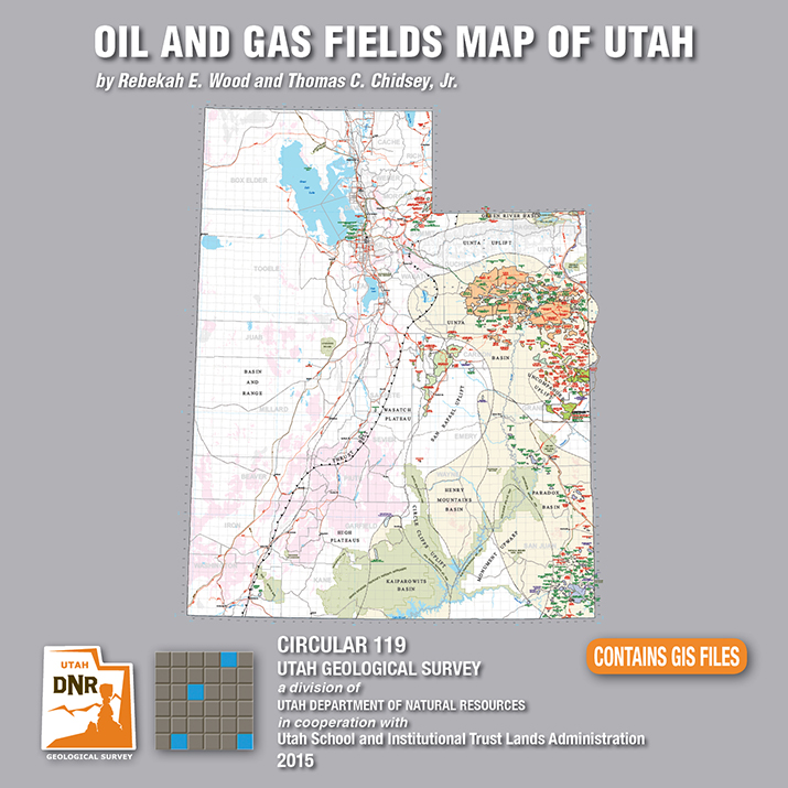
Utah is an important source of crude oil and natural gas, and is currently ranked 11th in United States production. Driven by a decadal long increase in Utah’s oil and gas production, the Utah Geological Survey (UGS) recently released an updated Oil and Gas Fields Map of Utah that shows where most drilling activity has occurred, namely within the Uinta and Paradox Basins in eastern and southeastern Utah, respectively.

This updated map displays Utah’s oil, gas, and carbon dioxide reservoirs; major pipelines; and gas storage fields. In addition to easily identifying areas of current production and potential exploration, the map also shows areas that will not be developed such as national parks and monuments, recreation areas, historic sites, and rock units not expected to contain oil and gas resources. It is beneficial for geologists, engineers, landowners and other stakeholders, as well as state, federal, and county government officials.

The UGS and State of Utah School and Institutional Trust Lands Administration funded this map with the intent to provide an up-to-date quick reference for Utah’s oil and gas resources, production, transportation, and processing. The map, UGS Circular 119, is available for purchase on CD with GIS files, or as a print-on-demand map at the Utah Department of Natural Resources Map and Bookstore, 1-888-UTAHMAP, http://www.mapstore.utah.gov/.

For more information about this map, please contact Rebekah Wood at rwood@utah.gov or 801-537-3378.


Media Contact
Nathan Schwebach
801-538-7303
nathanschwebach@utah.gov

MP 15-4 Insert Hydrocarbon Chainman Shale

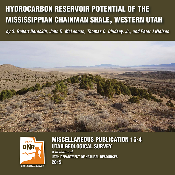
A recently released study by the Utah Geological Survey (UGS), reveals untapped potential oil and gas resources in western Utah and eastern Nevada. Petroleum companies conducting oil exploration in the region can use the study to help evaluate oil and gas potential on federal and state lands, and identify possible drilling targets.

Landowners, government regulators and planners, investors, and other stakeholders will also find.

The UGS study focusses on the rock types, paleoenvironments, mechanical properties (critical for oil and gas production), and chemical characteristics of a 1500-foot-thick Chainman Shale outcrop exposed in the central Confusion Range of western Millard County. The Chainman Shale is an organic-rich geologic formation that was deposited in an ancient sea over 350 million years ago. Additionally, based on the surface samples, the study includes a hypothetical assessment of how much oil and gas the Chainman Shale may contain elsewhere in the region.

The report, UGS Miscellaneous Publication 15-4, is available for purchase in digital format (on CD) from the Utah Department of Natural Resources Map and Bookstore, 1-888-UTAHMAP, http://www.mapstore.utah.gov/. A PDF of a summary poster, which was presented during the 2013 American Association of Petroleum Geologists Rocky Mountain Section meeting in Salt Lake City, is also available on the UGS webpage: http://geology.utah.gov/docs/pdf/chainman_poster_aapg-rms2013.pdf.

For more information about the report or the Chainman Shale, contact Thomas C. Chidsey, Jr., at 801-537-3364 or tomchidsey@utah.org.

Media Contact
Nathan Schwebach
801-538-7303
nathanschwebach@utah.gov