Practical Uses of Geologic Maps
By Donald L. Clark, Jon K. King, and Grant C. Willis
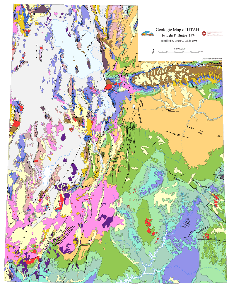
A geologic map shows the distribution of geologic features, including different kinds of rocks and surficial deposits, faults that displace the rocks and may be indicated by scarps in surficial deposits, and folds that indicate the rocks have been bent. These maps are the primary source of geologic data in the earth sciences, and together with derivative products, have immense economic and societal value.
They are used in land-use planning, geohazards, geohistory, water/energy/mineral resource development, waste disposal, and national defense, which in turn are used to solve the many problems and challenges that affect our quality of life (see accompanying chart). Improved and more detailed geologic maps provide more accurate data, leading to more reliable conclusions. Geologic maps are fundamental elements for informing the policy decisions of federal, state, and local agencies. Positive benefit-to-cost ratios as much as 50:1 have been determined for geologic maps (see, for example, Illinois State Geological Survey Circular 549, 1991).
Although geologic maps are typically depicted in two dimensions, a third dimension is represented with topographic contours, cross sections, block diagrams, and virtual reality displays (rotating transparent block diagrams). The fourth dimension of time can also be shown through sequential cross sections, chronostratigraphic diagrams, and displays that go by names like kinematic and retrodeformation. Maps can be tailored to fit the needs of specific projects such as bedrock maps, surficial deposit maps, or material engineering properties maps.
We make maps at different scales depending on expected use of the map—more detail for smaller areas (such as hazards or geologic engineering studies), and less detail in regional maps for resource and land management. Geologic maps often serve as the foundation or starting point for derivative or topical research such as resource studies (groundwater, energy, metallic and industrial minerals) and geohazard portfolios.
Today most geologic maps are produced in digital forms such as geographic information system (GIS) databases, downloadable Internet files, and interactive website maps that provide users with many options, increasing availability and usefulness. For example, in GIS format one might sum the areas of landslides in a geologic unit and divide by the area of the geologic unit to get a relative idea of which units are most prone to landslides.
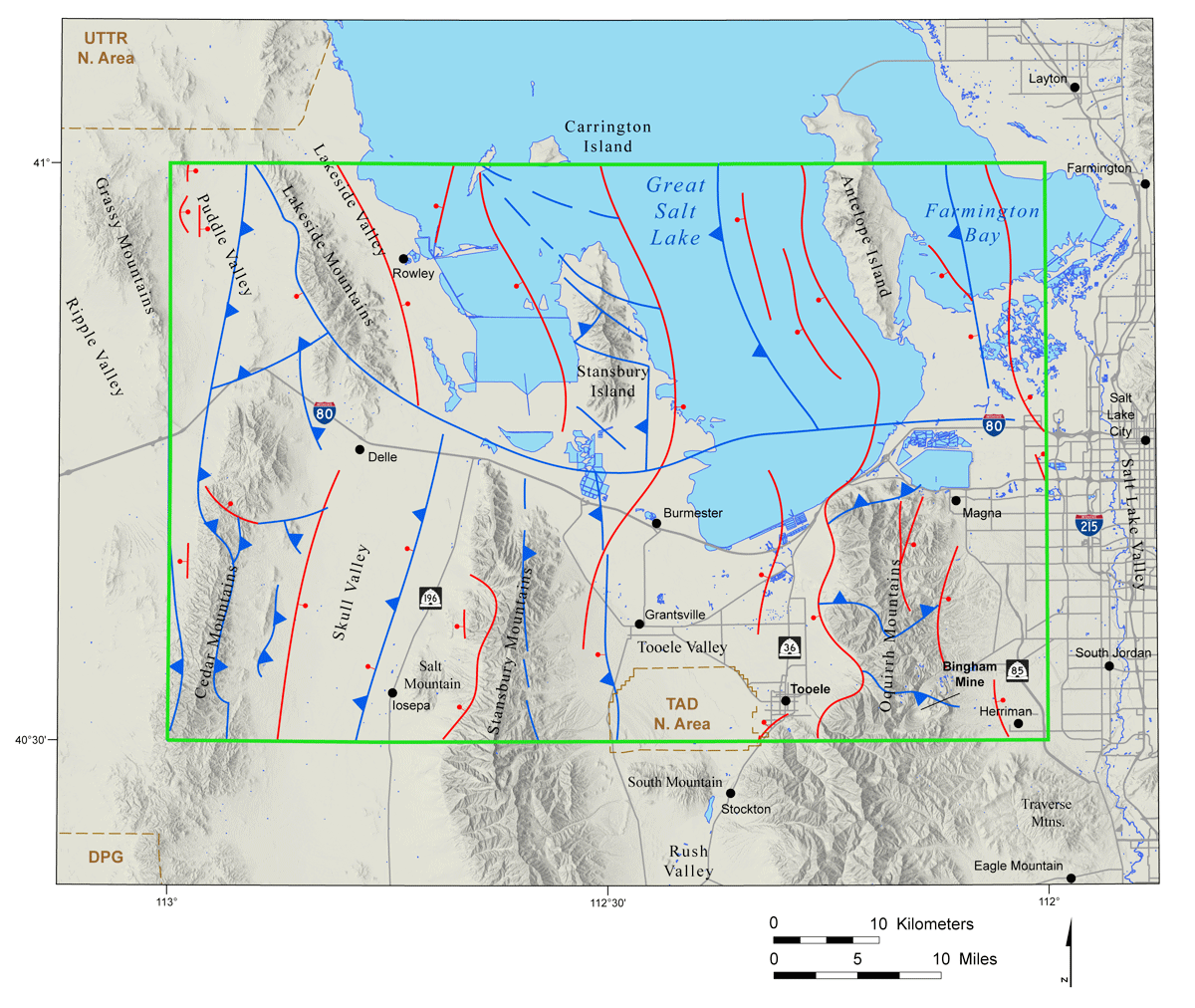
Some recent specific uses of geologic maps in Utah include (1) siting of the new state prison, (2) Warm Springs fault location and North Salt Lake landslide, and (3) Uinta Basin oil and gas exploration and water resource protection. For example, the task force charged with selecting the new state prison site hired local geotechnical consulting companies to conduct the detailed geologic investigations. These companies immediately contacted the UGS requesting the best geologic maps of the six sites in consideration. Fortunately, due to mapping completed over the past dozen years, we had recently released new geologic maps that covered five of the six sites; we were actively mapping the Tooele 30′ x 60′ quadrangle that covered the remaining site. The companies were so anxious to get the newest Tooele mapping in time to use for their evaluation that they requested we “fasttrack” it to open-file release, which we did. Geologic investigations using these geologic maps played a key role in selecting the final site in northern Salt Lake Valley.
| GEOLOGIC MAP USES | |
|---|---|
Land-Use Planning
Geologic Hazards
Geologic History
Water Resources
|
Recreational Resources
Energy Resources
Mineral Resources
Waste Disposal
National Defense
|
Survey Notes, v. 49 no. 2, May 2017


