OFR-643 InsertMedRGB

By: James C. Coogan, Jon K. King, and Greg N. McDonald

The Morgan 7.5′ quadrangle, named for the city of Morgan, is located southeast of Ogden, Utah, and is transected by Morgan Valley where the Weber River, U.S. Interstate Highway 84, and Union Pacific Railroad are located. In the map area, the east-dipping limb and part of the Wasatch anticlinorium are exposed on Durst Mountain, east and north of the Weber River. Interpretations of the geology on Durst Mountain begin with back-rotation of this limb of Paleozoic rocks. Younger Paleozoic and Mesozoic rocks in the limb are exposed to the east in the Devils Slide quadrangle. At least 8000 feet (1800m) cf folded Cenozoic sedimentary rocks fill the fault-bounded Morgan Valley. Some fault scarps are Quaternary in age. The most notable fill is the Eocene and Oligeocene(?) Norwood Formation that underlies roughly the west half of the quadrangle. These altered tuffaceous rocks are prone to landsliding. This CD contains two plates-a geologic map at 1:24,000 scale and an explanation plate-and a 25-page booklet, all in PDF format.

GET IT HERE

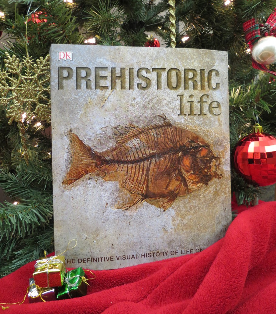
The perfect something for that someone who loves to learn about dinosaurs, early mammals, and other ancient life forms.

Prehistoric Life: The Definitive Visual History of Life on Earth

Prehistoric Life: The Definitive Visual History of Life on Earth

By: Various Authors

Fascinating and authoritative, Prehistoric Life is an unprecedented survey of millions of years of life on planet Earth. Featuring an incredible mix of 3-D reconstructions, extraordinary skeletons, and amazingly intricate fossils, it uses the latest scientific research to recreate hundreds of ancient species, from the earliest primitive life forms to the great dinosaurs, early mammals, and even the first humans.

Find this and other gifts at our Salt Lake City North Temple location, or GET IT ONLINE HERE.
1594 W North Temple, Salt Lake City, UT 84116

Our Utah Natural Resources Map & Bookstore has an amazing variety of books. Looking for a great gift this year for the holidays? There’s something for everyone of all ages.

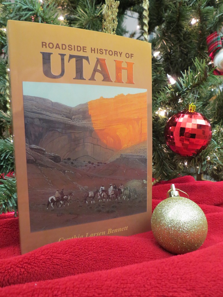
Roadside History of Utah

Roadside History of Utah
By: Cynthia Larsen Bennett

“Anyone traveling through Utah’s gorgeous landscape may be curious about the people who have lived there over time…’Roadside History of Utah’ offers an abundance of compelling stories about Utah’s exceptional people, along with over 150 historical photographs. Cynthia Larsen Bennett’s thorough research and lively storytelling give residents and visitors alike a new appreciation for the Beehive State and its turbulent past.”

Find it in our Salt Lake City North Temple location, or ONLINE HERE.

Sid’s Mountain Wilderness Study Area, San Rafael Swell, Emery County, Utah Photographer: Adam Hiscock; © 2015

Utah geology views for days.

POTD 12-8-15 Emery County, San Rafael Swell, Sids Mountain

Sid’s Mountain Wilderness Study Area, San Rafael Swell, Emery County, Utah
Photographer: Adam Hiscock; © 2015

news.nationalgeographic.com

A newly discovered dog-sized relative to Triceratops had a showy skull covered with mysterious bumps of bone.

READ MORE

ksl.com

A photographer who discovered thousands of dinosaur tracks at Lake Powell says it’s time to start rescuing them before his spectacular finds are destroyed.

READ MORE

www.sltrib.com

A top travel company named Utah the top destination in the world to visit Tuesday.

READ MORE

unews.utah.edu

A new study by a team of scientists from Argentina, Brazil, California and the Natural History Museum of Utah at the University of Utah has determined that the time elapsed between the emergence of early dinosaur relatives and the origin of the first dinosaurs is much shorter than previously believed. The discovery not only places a new timeline on the connection between early dinosaur relatives and the first dinosaurs in this particular geologic formation, but also in other formations across the world.

READ MORE

livescience.com

Two lumpy pieces of fossilized poop show that some dinosaurs ate flowering plants during the Late Cretaceous period, about 75 million years ago, new research finds.

READ MORE

washingtonpost.com

The river of ice that hugs Mount Grinnell’s high ridges is neither big nor particularly beautiful, but it may be the most accessible glacier in all of North America. In as little as three hours, an average hiker can traverse the mountain’s well-groomed trail to plant a foot on a frozen relic of the Little Ice Age.

READ MORE