Tag Archive for: utah

C-119 Insert

By: Rebekah E. Wood and Thomas C. Chidsey, Jr.

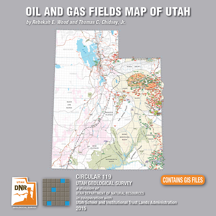
This CD contains an easily viewable 1:700,000-scale map in PDF format of Utah’s oil, gas, and CO₂ fields (past and present); oil gas and CO₂ pipelines with operators; field designations; names and ages of the reservoir rocks; oil refineries and natural gas processing plants; park boundaries and other geographical attributes; and some surficial geologic features. This map is to be used for a general overview and reference for hydrocarbon resources, production, transportation, and processing in Utah. Also included are geographic information system (GIS) files in ESRI file geodatabase and shapefile formats. The latest version of Adobe Reader is required to view the PDF file.

GET IT HERE

See our news release for this publication HERE

OFR-639 Insert

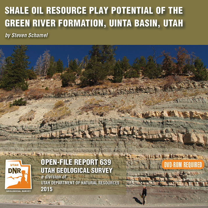
By: Steven Schamel

The Green River Formation in the Uinta Basin has may characteristics typical of an ideal shale oil resource play. It is a world-class oil-prone source rock. In nearly all parts of the basin there are many thousands of net feet of Type-l and Type-ll kerogen-rich calcareous mudstones, many intervals of which have average total organic carbon (TOC) of 5-10% or greater. In the north-central and western parts of the basin a substantial part of the formation is in the oil-generative window. Furthermore, organic maturation simulations done in this study using PRA BasinView-3D™ indicates early entry into the oil-generative window. In the northwest parts of the basin the lower Green River Formation was generating oil even before the end of the Eocene and slowing of sediment accumulation in the basin. The Green River Formation is unquestionably a superb petroleum system responsible for very large cumulative production of oil and associated natural gas, and an even larger potential oil sand resource. This DVD contains a 65-page report.

GET IT HERE

MP 15-4 Insert Hydrocarbon Chainman Shale

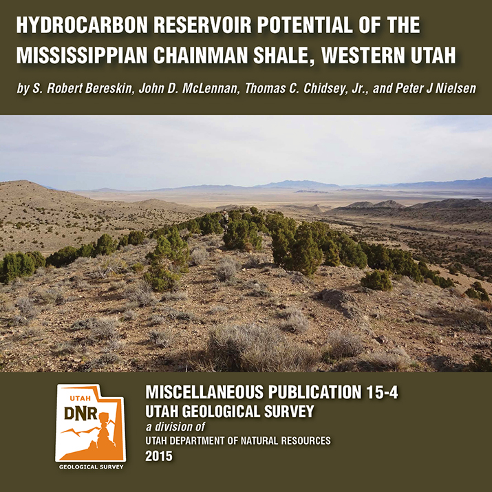
By: S. Robert Bereskin, John D. McLennan, Thomas C. Chidsey, Jr., and Peter J. Nielsen

The Mississippian Chainman Shale represents a potential target for untapped oil and gas resources in western Utah and eastern Nevada. This study focuses on the lithologic, facies, petrographic, petrophysical, and geochemical characteristics of a 500-meter-thick Chainman stratigraphic section exposed in the central Confusion Range of western Millard County, Utah. A hypothetical resources assessment, which can be used for the Chainman regionally, was conducted based on the surface samples’ attributes from the study area. Hypothetical undiscovered hydrocarbons on 80-acre spacing are estimated at 270,000 barrels of oil and 1.5 billion cubic feet of gas per well.

GET IT HERE

See our news release for this publication HERE

C-119 Insert

Utah is an important source of crude oil and natural gas, and is currently ranked 11th in United States production. Driven by a decadal long increase in Utah’s oil and gas production, the Utah Geological Survey (UGS) recently released an updated Oil and Gas Fields Map of Utah that shows where most drilling activity has occurred, namely within the Uinta and Paradox Basins in eastern and southeastern Utah, respectively.

This updated map displays Utah’s oil, gas, and carbon dioxide reservoirs; major pipelines; and gas storage fields. In addition to easily identifying areas of current production and potential exploration, the map also shows areas that will not be developed such as national parks and monuments, recreation areas, historic sites, and rock units not expected to contain oil and gas resources. It is beneficial for geologists, engineers, landowners and other stakeholders, as well as state, federal, and county government officials.

The UGS and State of Utah School and Institutional Trust Lands Administration funded this map with the intent to provide an up-to-date quick reference for Utah’s oil and gas resources, production, transportation, and processing. The map, UGS Circular 119, is available for purchase on CD with GIS files, or as a print-on-demand map at the Utah Department of Natural Resources Map and Bookstore, 1-888-UTAHMAP, http://www.mapstore.utah.gov/.

For more information about this map, please contact Rebekah Wood at rwood@utah.gov or 801-537-3378.


Media Contact
Nathan Schwebach
801-538-7303
nathanschwebach@utah.gov

The Colorado River loops around the Gooseneck between Dead Horse Point State Park and distant cliffs of the Island in the Sky District of Canyonlands National Park. The river has carved and exposed nearly flat-lying Jurassic to Pennsylvanian-age sedimentary strata of the Colorado Plateau. Dead Horse Point State Park, San Juan County, Utah Photographer: Gregg Beukelman; © 2014

While this photo is a throwback to colder seasons, we cannot deny the stunning #UtahGeology present. This crisp, cold picture is worth a thousand hand warmers—that’s how the saying goes, right?

POTD 5-12-15 Dead Horse Point San juan

Dead Horse Point State Park, San Juan County, Utah
Photographer: Gregg Beukelman; © 2014

The Colorado River loops around the Gooseneck between Dead Horse Point State Park and distant cliffs of the Island in the Sky District of Canyonlands National Park. The river has carved and exposed nearly flat-lying Jurassic to Pennsylvanian-age sedimentary strata of the Colorado Plateau.

fox13now.com

Farmington Canyon will be closed for three days to allow the area to be evaluated by engineers after a large boulder fell and blocked the road Sunday.

READ MORE

ksl.com

A minor earthquake shook portions of northern Utah late Saturday morning, but there were no reports of damage.

READ MORE

Salt Lake’s oldest resident? Read more on the ancient pit home unearthed in a Salt Lake City suburb, Sandy.

smithsonianmag.com

When utility company workers entered Dimple Dell Park in Sandy, Utah (a suburb of Salt Lake City), they were there to replace a gas pipeline. Instead, the Salt Lake Tribune’s Christopher Smart reports, they ended up uncovering evidence of a 1,500-year-old pit home that turned the park into an archaeological dig.

READ MORE

news.nationalgeographic.com

David Roberts is a well-known mountaineer who made the first ascents of some of Alaska’s most challenging peaks. For his new book, The Lost World Of The Old Ones: Discoveries in The Ancient Southwest, he set off with a backpack to explore some of the remotest corners of the American Southwest. Rappelling down cliffs to reach ancient granaries, or stumbling across artifacts that have not been touched for 1,000 years, he follows the trail of long vanished peoples.

READ MORE

Give mom something special this year—show her an adventure in Utah’s beautiful backyard! Goosenecks State Park is easily accessible, and worth a visit.

ksl.com

It might take a poet several weeks to come up with the perfect words to describe the view at Goosenecks State Park.

READ MORE