Tag Archive for: Summit County

Henry’s Fork, High Uintas Wilderness, Summit County, Utah. Photo by Christian Hardwick.

Morning sun casts light on the reddish-brown and grayish-red sandstone, shale, and siltstone of the Precambrian-age formation of Red Castle in the Uinta Mountain Group. Ice-age glaciers carved the broad valleys and basins of the Uinta Mountains.

ksl.com

COALVILLE — NaVee Vernon seemed unconcerned about the snowflakes swirling around her as she eagerly led a group of about a dozen state, county and local officials up a hill toward Coalville Ledge.

READ MORE

High Uintas Wilderness Area, Summit County
Photographer: Adam Hiscock © 2016

The late Precambrian-age Red Castle and Dead Horse Pass Formations, carved by Quaternary glaciers, form the cirque above Henrys Fork basin in the Uinta Mountains. A popular backpacking destination, Henrys Fork basin lies beneath the highest point in Utah, Kings Peak (13,528 feet; on the skyline in middle of photo).

11-1-16

7-26-16

Red Castle Peak and East Red Castle Lake, Summit County

Photographer: Ryhan Sempler; © 2016


Jessen Lake, Uinta Mountains, Summit County, Utah Photographer: Ken Krahulec; © 2015

POTD 12-22-15 Jessen Lake, Uinta Mountains

Jessen Lake, Uinta Mountains, Summit County, Utah
Photographer: Ken Krahulec; © 2015

As the Provo River plunges off the south side of the Uinta Mountains along the Mirror Lake Highway, it cascades over innumerable ledges of Precambrian-age Uinta Mountain Group sandstone. Provo Falls, Summit County, Utah Photographer: Gregg Beukelman; © 2015

Take this in over your outdoor daydream today.

12-1-15

Provo Falls, Summit County, Utah
Photographer: Gregg Beukelman; © 2015

As the Provo River plunges off the south side of the Uinta Mountains along the Mirror Lake Highway, it cascades over innumerable ledges of Precambrian-age Uinta Mountain Group sandstone.

MP 15-3 Insert

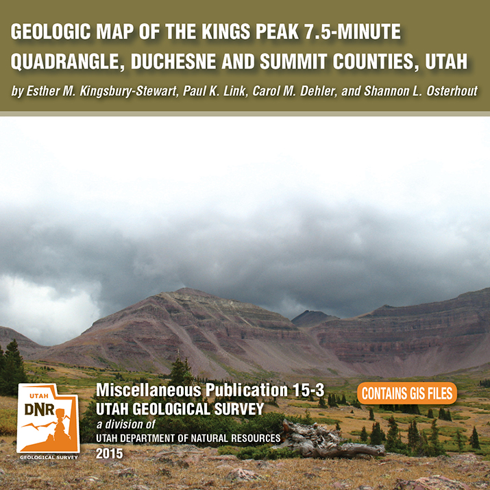
By: Esther M. Kingsbury-Stewart, Paul K. Link, Carol M. Dehler, and Shannon L. Osterhout

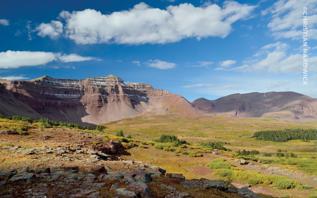
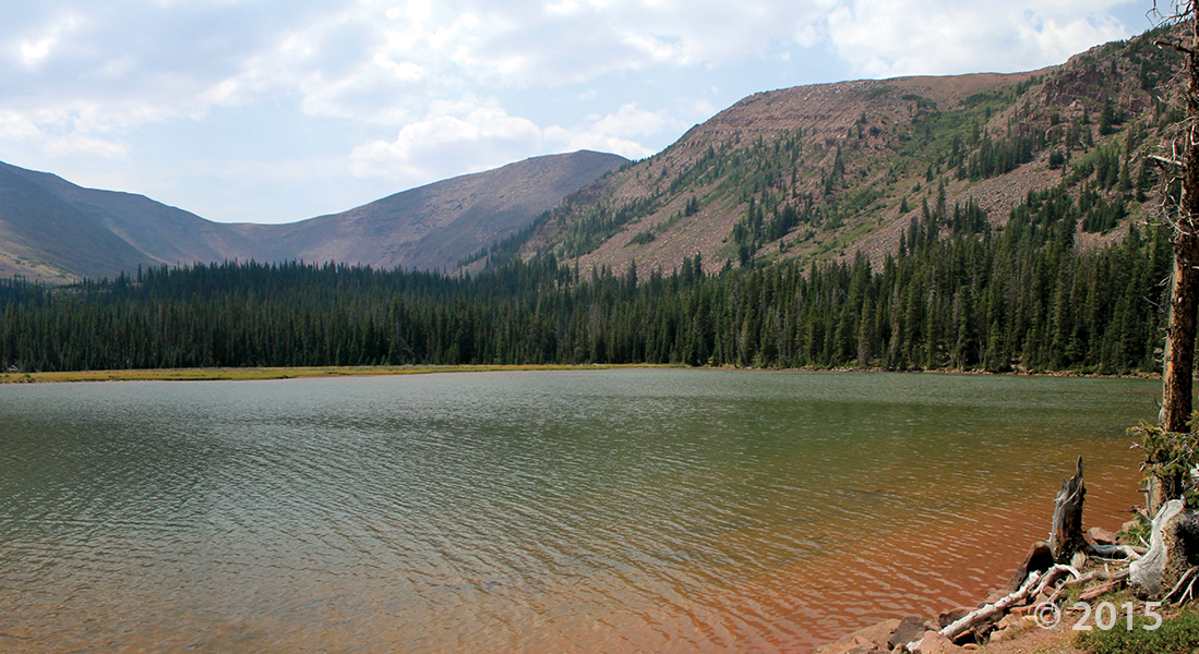
The Kings Peak 7.5-minute quadrangle straddles the crest of the Uinta Mountains in the High Uinta Wilderness Area and contains Kings Peak, Utah’s highest point. The peaks and cliffs are comprised of the newly formalized formations of the Neoproterozoic (late Precambrian) Uinta Mountain Group, which is about 770 to 742 million years old. The basins, basin margins, and cirques are filled with glacial deposits of Smith Fork age-32,000 to 14,000 years ago (Pinedale equivalent). The quadrangle also straddles the anticline crest of the Uinta arch. A series of igneous dikes are exposed in the quadrangle. These dikes cut formations of the Uinta Mountain Group are about 450 to 490 million years old.

GET IT HERE

parkrecord.com

After a week off, the Summit County Council will meet in session on Wednesday, Sept. 17, with the potential for landslides in Summit County one of the issues to be discussed.

READ MORE

Utah—putting the “Awe” in geology since the Precambrian.

High Uintas Wilderness, Summit County, Utah
Photographer: Chris DuRoss; © 2013

Ostler Peak (12,718 feet) is reflected in a meander bend of the Stillwater Fork of the Bear River in the Uinta Mountains. Thousands of years ago glaciers inundated much of the Uinta Mountains, leaving behind long glacier-carved valleys, steep-sided cirques, and jagged peaks.

parkrecord.com

Francis resident Eric Averett was sitting at his kitchen table Friday morning when he felt a short rumbling and a “boom” sound. That rumbling was a 3.2-magnitude earthquake, which was reported three miles southwest of Woodland.

READ MORE