Tag Archive for: Sevier County

OFR-641 Insert cover

By: Paul A. Kuehne and Hellmut H. Doelling

The Gooseberry Creek quadrangle in central Utah covers the northwestern end of the Fish Lake Plateau. The Gooseberry Road, a popular scenic link between Interstate 70 and the Fish Lake Recreation Area, traverses the quadrangle; climbing to over 10,000 feet in elevation, it is one of the highest paved highways in the state. Late Cretaceous to late Eocene strata dip gently westward, are cut by several steep normal faults, and are folded into the west-facing Wasatch monocline near the west side of the quadrangle. Oligocene volcanic rocks of the Marysvale volcanic field extend into the southern part of the quadrangle. Rock glaciers, large landslides, colluvium, and alluvium are common.

GET IT HERE

Travertine deposit at Mystic Hot Springs, Sevier County, Utah Photographer: Paul Kuehne; © 2014

Happy Friday, friends! Who’s getting out in the big Utah wild this weekend? Mystic Hot Springs is a great destination!

Mystic Hot Springs POTD 7-28-15

Travertine deposit at Mystic Hot Springs, Sevier County, Utah
Photographer: Paul Kuehne; © 2014

SS-155 insert

By: Greg N. McDonald and Richard E. Giraud

This map represents a landslide inventory for the upper Muddy Creek area, Sanpete and Sevier Counties, Utah, at a scale of 1:24,000. The map covers 54 square miles on southern part of the Wasatch Plateau and includes the Beaver Creek and Horse Creek Hydrologic Units in the east-southeast-draining Muddy Creek headwaters. The map and accompanying geodatabase show and characterize landslides and provide information useful for managing landslide-related issues. Spatial and tubular data for each landslide are stored in the geodatabase and linked to the inventory map. Landslide information in the geodatabase includes: area, material type, movement type, landslide deposit name, landslide source name, movement activity, thickness, movement direction, approximate movement dates, geologic unit(s) associated with landsliding, confidence in mapped boundaries, mapper, peer reviewer, and general comments.

GET IT HERE

sltrib.com

Residents of the southern Utah hamlet of Richfield had a mildly disturbing interruption to their slumber early Thursday morning — a 3.1 magnitude earthquake.

READ MORE

See the USGS Report HERE.

White Hills, Sevier County, Utah
Photographer: Rich Emerson; © 2012

Jurassic-age Arapien Shale in the White Hills, Sevier County.

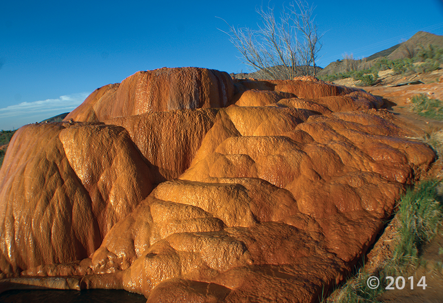
Despite the lingering heat, another summer in Utah is coming to a close. The canyons will soon be ablaze with fall colors and the valleys won’t be far behind. In this spirit we have selected another photo from Gerard Dauphinais to give us a little taste of fall. This photo was taken near Fremont Indian State Park, located in west Sevier County. The park is famous for containing many instances of Fremont Indian rock art.

The Sevier Formation contains most of the major rock outcrops seen in the park. A notable feature of the Sevier Formation is the 19-million-year-old Joe Lott Tuff. This tuff (a welded is a welded volcanic-ash) was produced by an explosive volcanic eruption. The massive eruption created the Mount Belknap caldera located about 10 miles south of Clear Creek Canyon. The surface of the originally white, pink, and gray tuff has weathered to darker colors and serves as a “blackboard” for Fremont Indian rock art.

In this picture we see some of the sedimentary rocks that overly the Joe Lott tuff. The rest of the Sevier River Formation consists of sandstones, siltstones, conglomerates,  and additional volcanic ashes, and lava flows that were deposited about 5 to 14 million years ago, when the present topography of the Basin and Range area began forming. The Sevier River Formation was uplifted and tilted around 5 million years ago.

Thanks again for the great photo Gerard! Click through for the full resolution image and click here for more information on Fremont Indian State Park. Remember, you can always submit your photos to us at ugssmedia@gmail.com, on Facebook, or on Twitter.

This Issue Contains:

  • Modeling Ground-Water Flow in Cedar Valley
  • Bringing Earth’s Ancient Past to Life
  • Ground-Water Monitoring Network
  • Energy News: Saline Water Disposal in the Uinta Basin, Utah
  • Glad You Asked: How many islands are in Great Salt Lake?
  • GeoSights: Fremont Indian State Park, Sevier County, Utah
  • Survey News
  • New Publications

READ THIS ISSUE

PAST ISSUES

Salt Lake Tribune

Jeff and Denise Roberts love to roam the hills south of Richfield, sleuthing for fossils and ancient artifacts. During one of those trips several years ago, the couple found fossilized jaw bones so small they can sit on a penny.
The significance of those puny jaws outweighs their size: Paleontologists say they shed light on an era in Utah 8 million years ago that has produced few fossils, unlike the huge dinosaur bones from earlier periods that have made the state a paleontology treasure trove.
The Roberts reported their find to state experts, who determined the fossils came from two heretofore unknown species of rodents related to modern deer and pocket mice. In their honor, the species related to the deer mouse was named Basirepomys robertsi , while the other species was named Metaliomys sevierensis for the formation in Sevier County where the fossils were found.

READ MORE

IN THE MEDIA

Local News8
Star Telegram
KSL.com
Standard Examiner
Discovery On

UPI.com