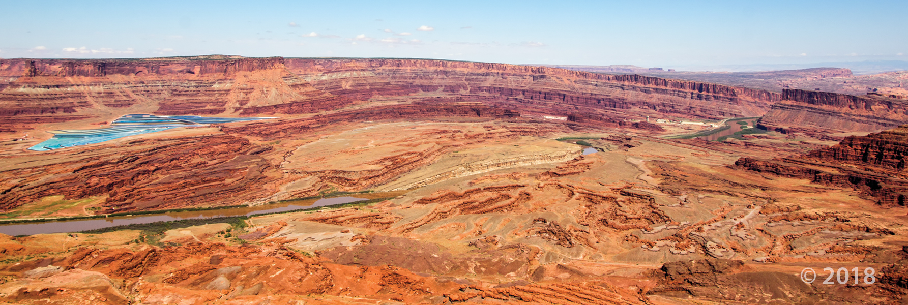
Colorado River, Cane Creek anticline, and potash evaporation ponds, San Juan County
Photographer: Adam Hiscock © 2018
Colorado River, Cane Creek anticline, and potash evaporation ponds, San Juan County
Photographer: Adam Hiscock © 2018
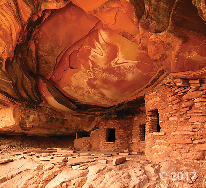
Cedar Mesa, San Juan County
Photographer: Tyler Knudsen © 2017
An overhanging ledge of Permian-age Cedar Mesa Sandstone protects ancestral Puebloan ruins in Road Canyon. The informally named “Fallen Roof” ruin owes its name to the prominent spalling and collapse of thin sandstone slabs from the overhang’s ceiling.
deseretnews.com
SALT LAKE CITY — Rainbow Bridge at Lake Powell, which for centuries has inspired stories of origin, ceremonial rites and pilgrimages for multiple tribes, has been designated by the National Park Service as a “traditional cultural property” — the first in Utah.
Needles District, Canyonlands National Park, San Juan County
Photographer: J. Lucy Jordan © 2017

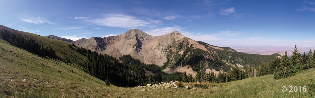
Gold Basin and Mount Tukuhnikivatz, La Sal Mountains, San Juan County
Photographer: Ryhan Sempler © 2016

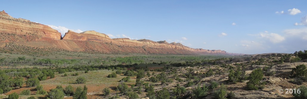
Comb Ridge, San Juan County, Utah
Photographer: J. Lucy Jordan; © 2016


Dark Canyon Primitive Area, San Juan County, Utah
Photographer: Diane Menuz; © 2015
The stream in the lower section of Dark Canyon runs reddish brown following heavy morning rain. Sandstone of the Permian-age Cutler Group forms the canyon walls and limestone of the Pennsylvanian-age Honaker Trail Formation is exposed along the stream bed.


White Rim, Canyonlands National Park, San Juan County, Utah
Photographer: Tyler Knudsen; © 2015

We woke up on the right side of the bedrock today!
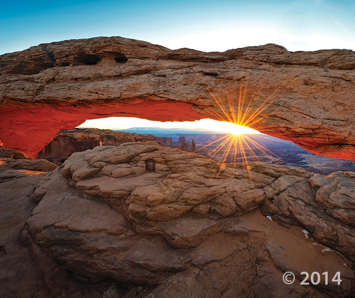
Canyonlands National Park, San Juan County, Utah
Photographer: Gregg Beukelman; © 2014
Mesa Arch, in the Island in the Sky District of Canyonlands National Park, formed as surface water pooled and eventually eroded through bedrock at the mesa’s edge. As the sun rises, its rays reflect off the 800-foot-high cliff of Jurassic-age sedimentary rock below the arch, bathing the bottom of the arch in an orange glow.


Newspaper Rock petroglyph panel along Indian Creek, San Juan County, Utah
Photographer: Adam Hiscock; © 2014
![]()
The Utah Geological Survey (UGS) is a division of the Utah Department of Natural Resources. Several specialized programs comprise the UGS: Data Management, Energy & Minerals, Geologic Hazards, Geologic Information & Outreach, Geologic Mapping, Groundwater & Wetlands, and Paleontology.