Meadow Creek Landslide, Kane County
Updated June 7, 2023
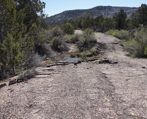
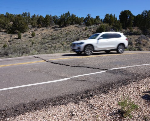
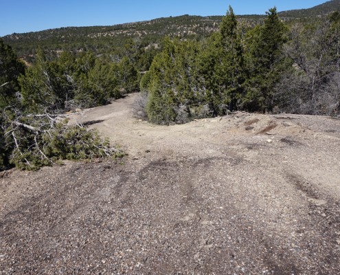
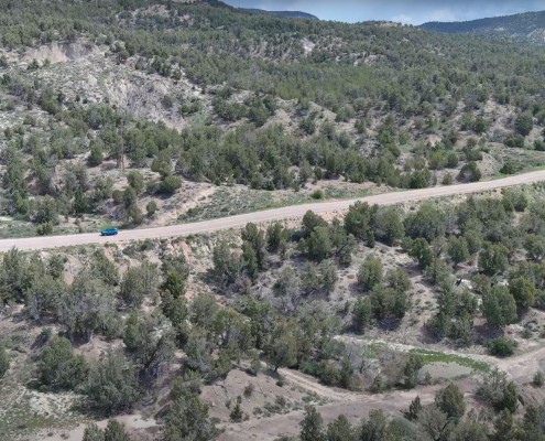
The Meadow Creek landslide on SR-9 (formerly SR-15) is approximately five miles east of the Zion National Park east entrance and part of the larger Coal Hill landslide complex. It has repeatedly damaged SR-9 since its construction in 1928 and the most recent displacement was observed during a routine visit in 2023. The continued movement of the central part of the Meadow Creek landslide and subsequent damage to SR-9 are more pronounced during wet years.
Landslide Type: Complex rotational landslide with likely translational and debris slide components.
Learn about types of landslides
Size: The Meadow Creek landslide is about 2 miles wide and 1.5 miles long, although the active part affecting SR-9 is less than 0.5 mile wide.
Special Conditions: The landslide is underlain by weak, clay-rich, Cretaceous-age Naturita Formation.
Damages: One to two inches of displacement in the road is evident in several places. Also, a few inches of vertical displacement has made the road surface uneven and bumpy.
Status: Active


