Jordanelle Reservoir Landslides, Wasatch County
Updated June 5, 2023
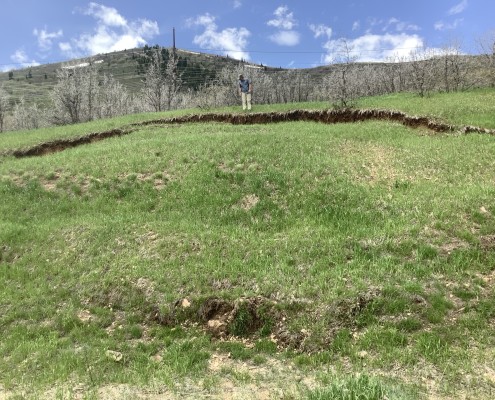
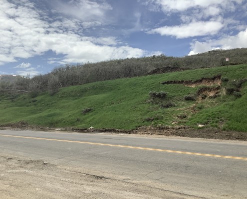
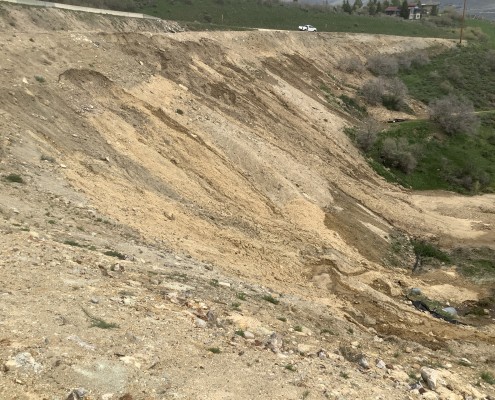
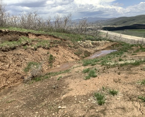
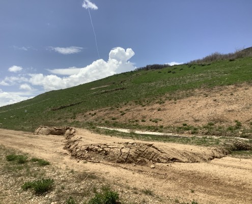
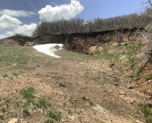
Up to a dozen new and existing landslides have been reported to and monitored by the UGS along U.S. 189/40 near Jordanelle Reservoir in 2023. Some of the known landslides have recorded no activity or movement, whereas some older landslides have been reactivated due to the melting of Utah’s record snowpack.
Landslide Type: Complex debris slide. Likely rotational with translational and rotational inset slides.
Learn about types of landslides
Size: Several to tens of feet wide and long.
Special Conditions: Most of these landslides are in large roadcuts associated with the highway. The underlying bedrock is likely influencing the northernmost landslides as well.
Damages: A dirt road and concrete drainage ditch at the toe of one of the landslides have sustained some damages. The head of one of the landslides has displaced a cobble-lined drainage ditch as well.
Status: The landslides along this road vary from inactive to active and monitoring.


