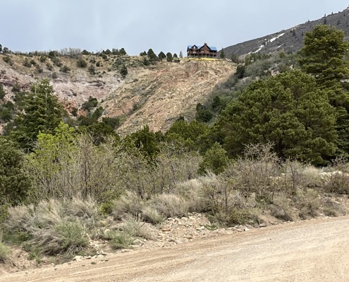
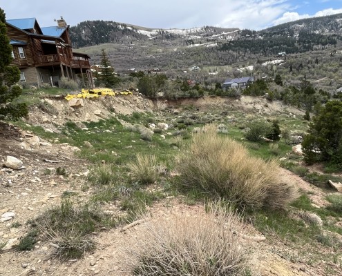
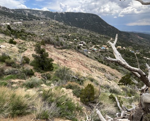
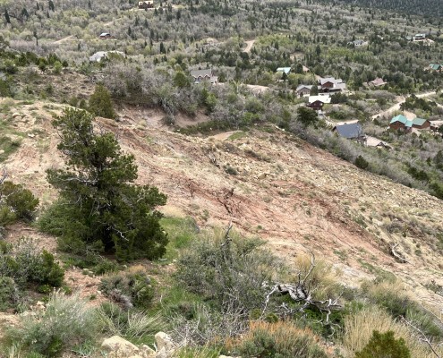
Cedar Highlands Landslide, Iron County
Updated June 6, 2023
A landslide on High Mountain View Circle in the Cedar Highlands area in Cedar City has been known for about two decades and has continued to periodically increase in size during high-snowpack years. It began to form shortly after completion of a home and septic system at the top of the slope in the early 2000s, and is still active today.
Landslide Type: Rotational
Learn about types of landslides
Size: 100 feet wide and 250 feet long
Special Conditions: The landslide is underlain by the weak Cedar Mountain Formation and older landslide deposits.
Damages: Fresh tension cracks have formed below the main scarp, but no buildings have been damaged.
Status: Active


