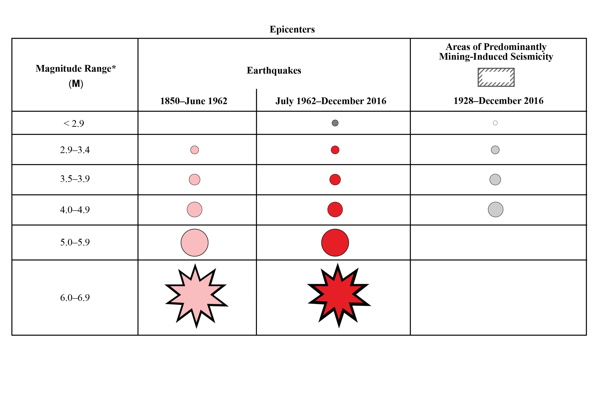
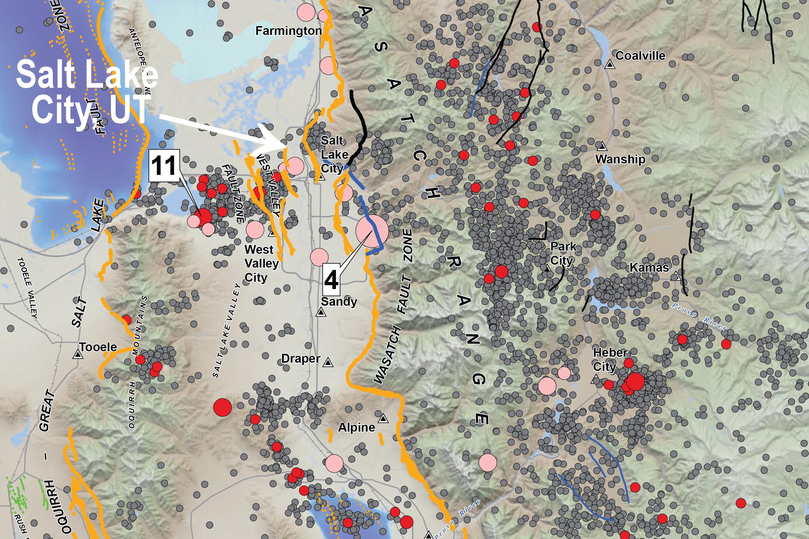
MAP SALE: Utah Earthquakes (1850-2016) and Quaternary Fault Map
There is a 57% probability (over 1 in 2 chance) that a magnitude 6.0 or greater earthquake will occur in the Wasatch Front region in the next 50 years.
To address this threat, the Utah Earthquake Program consisting of the UGS, UUSS, and the UDEM, developed the map of Utah earthquakes and faults so the public could more fully understand the hazard from earthquakes and faults, as well as the resulting risk to property, infrastructure, and life safety in Utah.
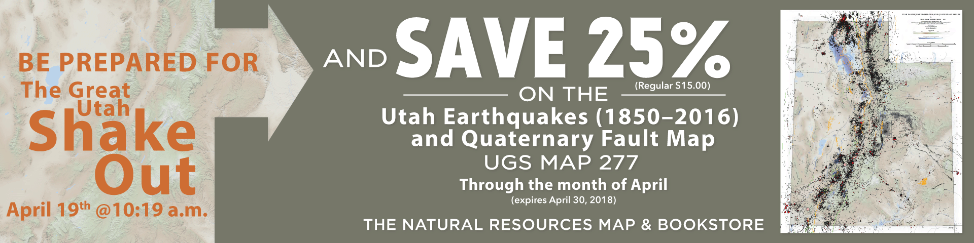
April 19th is the Great Utah ShakeOut. Participating in this drill is a great way for your family or organization to be prepared to survive and recover quickly from an earthquake. For more information on the Great Utah ShakeOut visit https://www.shakeout.org/utah/.
For the entire month of April the Utah Earthquakes (1850-2016) and Quaternary Fault Map is on sale for $11.25 (reg. $15.00) at the Utah Department of Natural Resources Map & Bookstore, 1594 West North Temple in Salt Lake City.
BUY ONLINE
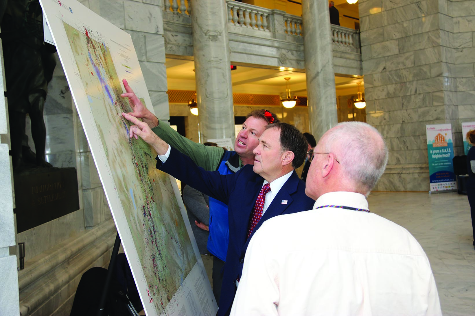
UGS geologists participated in the Preparedness on the Hill event yesterday at the State Capitol. Governor Herbert stopped by and discussed earthquake hazards in Utah, and Steve Bowman explained the newly released “Utah Earthquakes (1850–2016) and Quaternary Faults” map. Photo courtesy of the Division of Emergency Management.