M-271DM Map Santa Clara Quadrangle

By: Grant C. Willis and Janice M. Hayden

The Santa Clara 7.5′ quadrangle is in the northwestern part of the St. George basin in southwestern Utah, and includes Santa Clara and Ivins Cities, and colorful Red Mountain and Snow Canyon State Park. Movement on an underlying thrust fault created a variety of faults, joints, deformation shear bands, and brecciated rock in Triassic and Jurassic strata in many areas. Remnants of six Quaternary basalt flows cap ridges and benches, forming classic inverted valleys, and form lava cascades in Snow Canyon State Park. The young Santa Clara flow cascaded through Snow Canyon and flooded across broad benches, forming scenic black terrain that contrasts sharply with red-brown to near-white sandstone cliffs. Landslides, rock falls, swelling clays, and other geology and related flooding and debris flow hazards have caused extensive damage in recent years and present increasing challenges as growth and development continue. “Blue Clay” of the Chinle Formation has been at the root of significant damage to roads, buildings, and infrastructure.

GET IT HERE

MP 15-2DM, Hogup Bar Quadrangle, Box Elder

By: Daren T. Nelson and Paul W. Jewell

The Hogup Bar quadrangle is located southeast of Park Valley, Utah, and west of the northwest arm of Great Salt Lake. Late Pleistocene Lake Bonneville sediments and related shorelines dominate the landscape, and record the transgression and regression of Lake Bonneville. Surficial deposits overlie Tertiary basalt and Permian-Pennsylvanian sedimentary bedrock.

GET IT HERE

OFR-638 Insert, Open File Repot, Honeyville Quadrangle

By: Kimm N. Harty and Adam P. Mckean

This 1:24,000-scale surface fault rupture map of the Honeyville quadrangle shows potentially active faults and special-study areas for the Brigham City and Collinston segments of the Wasatch fault zone mapped using primarily 0.5-meter digital LiDAR data acquired in 2013 and 2014. Fault traces were also mapped using black and white stereographic and oblique aerial photographs and previous published sources for the Wasatch fault zone and parts of the West Cache fault zone contained on the Honeyville quadrangle.

GET IT HERE

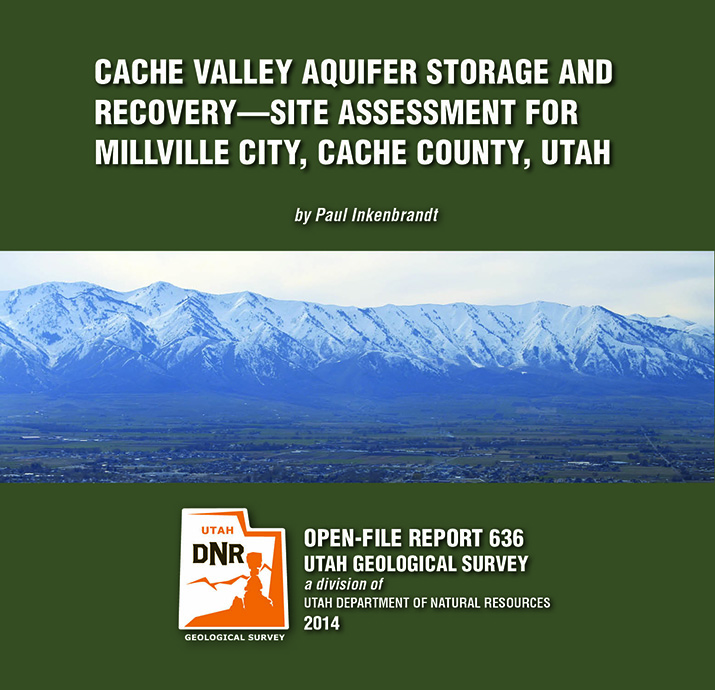
OFR-636 Cache Valley Aquifer, Cache County, Millville City

By: Paul Inkenbrandt

The City of Millville, located in a prime location for aquifer storage and recovery (ASR), is having issues with elevated nitrate in the Glenridge well, a public water supply sourced from the Cache Valley principal aquifer. To alleviate high nitrate, the city performed an initial injection and pumping test using the Glenridge well. Millville injected water from Garr Spring, another public water supply source of which they own water rights, into the Glenridge well for one week at a rate of 500 gallons per minute. They then pumped the well while monitoring geochemistry to determine the effects on the Cache Valley principal aquifer system. The pre-injection nitrate concentration in the Glenridge well was 7.65 mg/l nitrate as nitrogen, and the nitrate concentration after pumping more than 172% of the volume of water injected was 6.52 mg/l nitrate as nitrogen. There is likely some dispersion of the injected spring water via advection in the aquifer.

GET IT HERE

By: Douglas A. Sprinkel

This CD contains the geologic map at 1:50,000 scale and a 19-page booklet, both in PDF format. The map covers six 7.5-minute quadrangles in the eastern part of the Duchesne 30’x 60′ quadrangle. The quadrangle is located mostly in the western Uinta Basin, with the northwest corner located along the southwest flank of the Uinta Mountains but the area mapped is centered on Roosevelt, Utah. The map area includes surficial deposits that range from historic to lower Pleiestocene piedmont alluvium, stream alluvium, and glacial deposits. Bedrock map units include the Duchesne River and Uinta Formations. Structural features include the axis of the Uinta Basin syncline (and associated folds), the basin boundary fault zone in the northern part of the map area, and the Duchesne fault zone in the southern part of the map area. The Duchesne 30’x 60′ quadrangle also contains an array of geologic resources including minerals, phosphate, sand and gravel, and gilsonite, but energy resources are the most significant with the giant Altamont-Bluebell and Monument Butte fields located in the quadrangle.

GET IT HERE

By: Peter D. Rowley, Edward F. Rutledge, David J. Maxwell, Gary L. Dixon, and Chester A. Wallace

This 27-page report analyzes new detailed (1:12,000 scale) geologic mapping of a 14 square mile area centered by the high-temperature (350°F) Sulphurdale heat source, which at the surface makes up a circular area about a mile in diameter that is likely caused by a magma body at depth. A former small steam-driven geothermal electric power plant in the circular area is being replaced by a larger plant (Enel Green Power North America) that will use binary technology. Five cross sections tied to and at the same scale as the map help interpret the likely extent of the geothermal resource. Sulfur derived from evaporites at depth was initially mined at a solfatara above the heat source; associated sulfuric acid seeped downward to remove the Kaibab Limestone and Toroweap Formation from the subsurface.

GET IT HERE

GET IT HERE

By: Robert F. Biek, John J. Anderson, Edward G. Sable, and Peter D. Rowley

The Haycock Mountain quadrangle lies in the central part of the Markagunt Plateau in southwest Utah and includes the eastern part of Panguitch Lake, a popular area of summer and winter recreational use. Despite the plateau’s relatively simple structure of a gently east-tilted fault block, the quadrangle contains scenic and instructive exposures of south-west Utah’s youngest basaltic lava flows, classic examples of inverted valleys capped by older lava flows, and the southern margin of the Markagunt Megabreccia, including newly identified, exceptionally instructive exposures of its basil slip surface. The Megabreccia is the debris of Utah’s largest catastrophic landslide deposit, which covers 1300 square miles (3400 km²) of the northern and central Markagunt Plateau.

GET IT HERE

By: Robert F. Biek, John J. Anderson, Edward G. Sable, and Peter D. Rowley

The Panguitch Lake quadrangle lies in the central part of the Markagunt Plateau in southwest Utah and includes Panguitch Lake, a popular area of summer and winter recreational use. Despite the plateau’s relatively simple structure of a gently east-tilted fault block, the quadrangle contains scenic and instructive exposures of southwest Utah’s youngest basaltic lava flows, classic examples of inverted valleys capped by older lava flows, glacial deposits in the Castle Valley area, and the southern margin of the Markagunt Megabreccia. The Megabreccia is the debris of Utah’s largest catastrophic landslide deposit, which covers 1300 square miles (3400 km²) of the northern and central Markagunt Plateau.

GET IT HERE

Edited By: John S. MacLean, Robert F. Biek, and Jacqueline E. Huntoon

This CD contains 35 geological papers and 2 road guides describing the geology of Utah’s Far South. The papers are arranged by topics: Geomorphology, Hydrogeology, Reservoir Properties, Statigraphy, Paleontology, Structural Geology & Volcanism, and Field Trip Road Guides. The publication also includes a memoriam to Dr. Lehi F. Hintze.

GET IT HERE