Our latest issue of Survey Notes is out! Check it out on our Survey Notes Gallery HERE.
mapstore.utah.gov
Few places have a better fossil record of Cambrian life than Utah. In Exceptional Cambrian Fossils from Utah—A Window Into the Age of Trilobites, the authors present an exhaustive summary of invertebrate fossils collected from Utah’s Spence, Wheeler, Marjum, and Weeks Formations. The fossils include sponges, corals, comb jellies, snails, velvet worms, and of course trilobites, among many others. Together, these fossils provide an exceptional view of Cambrian life.
By: Steve D. Bowman, Adam I. Hiscock, and Corey D. Unger
This nine DVD set contains a descriptive 8-page report and digital files created from the Wasatch fault investigation project performed for the Utah Geologic and Mineralogical Survey (now the Utah Geological Suvey) and U.S. Geological Survey by Woodward-Lundgren & Associates. The project was performed to identify surface fault rupture hazard areas along the Wasatch fault in Cache Valley. This compilation contains digital scans of three separate Wasatch fault reports, 47 fault maps, and 1382 scanned low-sun-angle-arial photographs (frames). The digital files include aerial photograph scans in TIFF format, fault maps in TIFF and Adobe PDF formats, and index maps in Google Earth KMZ, GIS shapefile and Adobe PDF formats. Specialized software (not included) is required to utilized the Google Earth and GIS files, and can be downloaded from the internet.
This compilation will be useful for professionals involved with paleoseismology investigations; land-use planning and management; government agencies; and the general public and others as a historical archive. Low-sun-angle aerial photography was used to highlight certain topographic features, such as fault scarps and traces, for mapping purposes.
By: Greg N. McDonald and Richard E. Giraud
This map represents a landslide inventory for the upper Muddy Creek area, Sanpete and Sevier Counties, Utah, at a scale of 1:24,000. The map covers 54 square miles on southern part of the Wasatch Plateau and includes the Beaver Creek and Horse Creek Hydrologic Units in the east-southeast-draining Muddy Creek headwaters. The map and accompanying geodatabase show and characterize landslides and provide information useful for managing landslide-related issues. Spatial and tubular data for each landslide are stored in the geodatabase and linked to the inventory map. Landslide information in the geodatabase includes: area, material type, movement type, landslide deposit name, landslide source name, movement activity, thickness, movement direction, approximate movement dates, geologic unit(s) associated with landsliding, confidence in mapped boundaries, mapper, peer reviewer, and general comments.
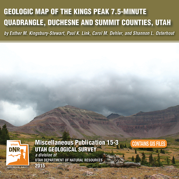
By: Esther M. Kingsbury-Stewart, Paul K. Link, Carol M. Dehler, and Shannon L. Osterhout
The Kings Peak 7.5-minute quadrangle straddles the crest of the Uinta Mountains in the High Uinta Wilderness Area and contains Kings Peak, Utah’s highest point. The peaks and cliffs are comprised of the newly formalized formations of the Neoproterozoic (late Precambrian) Uinta Mountain Group, which is about 770 to 742 million years old. The basins, basin margins, and cirques are filled with glacial deposits of Smith Fork age-32,000 to 14,000 years ago (Pinedale equivalent). The quadrangle also straddles the anticline crest of the Uinta arch. A series of igneous dikes are exposed in the quadrangle. These dikes cut formations of the Uinta Mountain Group are about 450 to 490 million years old.
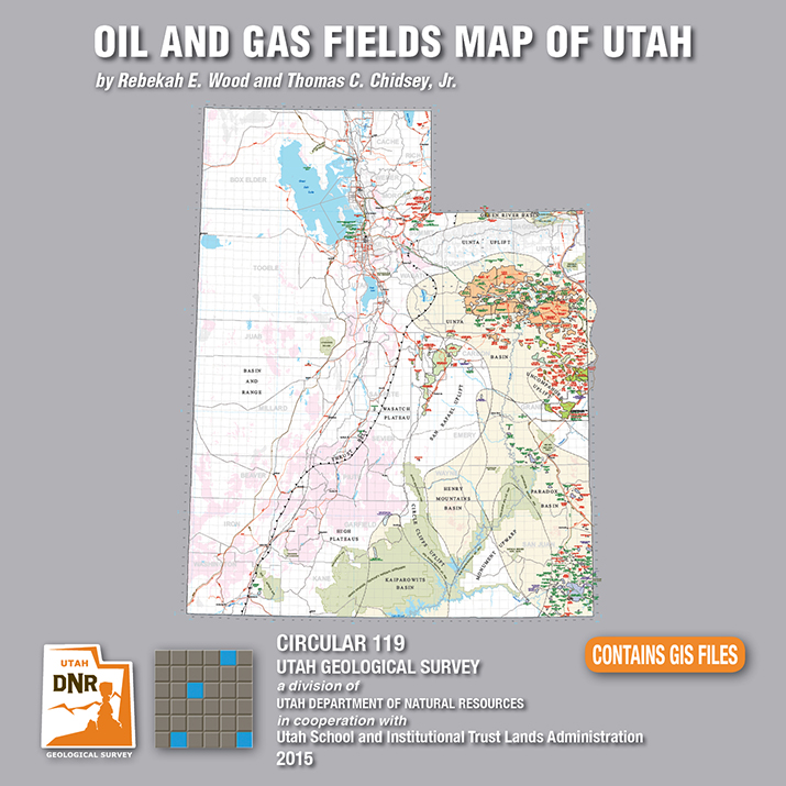
By: Rebekah E. Wood and Thomas C. Chidsey, Jr.
This CD contains an easily viewable 1:700,000-scale map in PDF format of Utah’s oil, gas, and CO₂ fields (past and present); oil gas and CO₂ pipelines with operators; field designations; names and ages of the reservoir rocks; oil refineries and natural gas processing plants; park boundaries and other geographical attributes; and some surficial geologic features. This map is to be used for a general overview and reference for hydrocarbon resources, production, transportation, and processing in Utah. Also included are geographic information system (GIS) files in ESRI file geodatabase and shapefile formats. The latest version of Adobe Reader is required to view the PDF file.
See our news release for this publication HERE
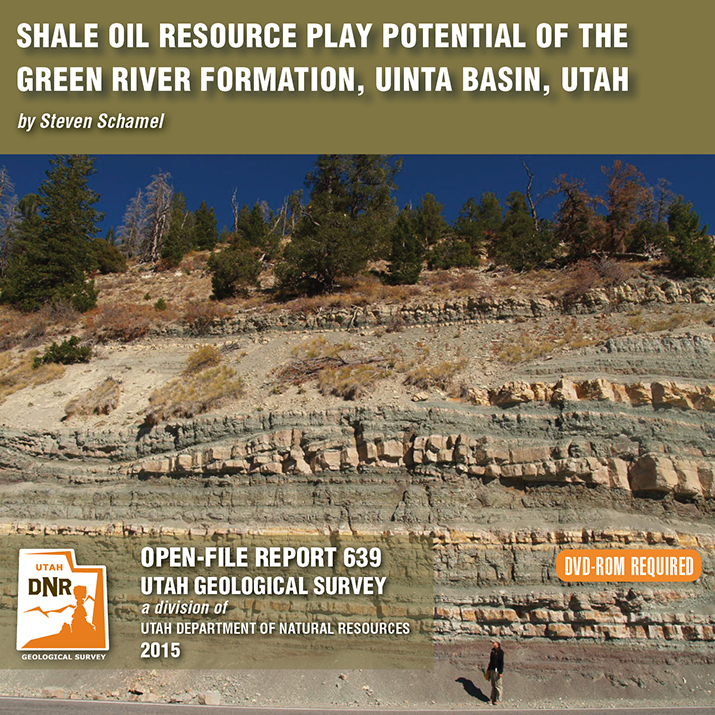
By: Steven Schamel
The Green River Formation in the Uinta Basin has may characteristics typical of an ideal shale oil resource play. It is a world-class oil-prone source rock. In nearly all parts of the basin there are many thousands of net feet of Type-l and Type-ll kerogen-rich calcareous mudstones, many intervals of which have average total organic carbon (TOC) of 5-10% or greater. In the north-central and western parts of the basin a substantial part of the formation is in the oil-generative window. Furthermore, organic maturation simulations done in this study using PRA BasinView-3D™ indicates early entry into the oil-generative window. In the northwest parts of the basin the lower Green River Formation was generating oil even before the end of the Eocene and slowing of sediment accumulation in the basin. The Green River Formation is unquestionably a superb petroleum system responsible for very large cumulative production of oil and associated natural gas, and an even larger potential oil sand resource. This DVD contains a 65-page report.
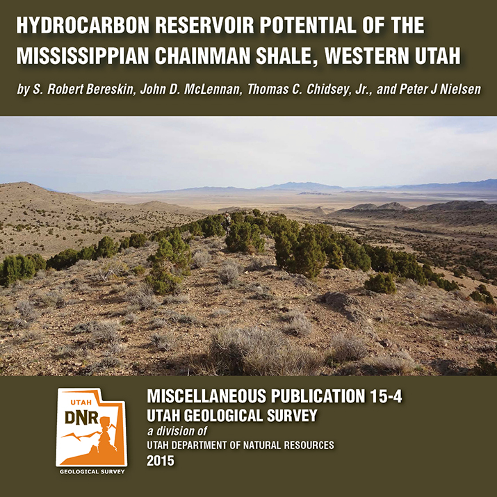
By: S. Robert Bereskin, John D. McLennan, Thomas C. Chidsey, Jr., and Peter J. Nielsen
The Mississippian Chainman Shale represents a potential target for untapped oil and gas resources in western Utah and eastern Nevada. This study focuses on the lithologic, facies, petrographic, petrophysical, and geochemical characteristics of a 500-meter-thick Chainman stratigraphic section exposed in the central Confusion Range of western Millard County, Utah. A hypothetical resources assessment, which can be used for the Chainman regionally, was conducted based on the surface samples’ attributes from the study area. Hypothetical undiscovered hydrocarbons on 80-acre spacing are estimated at 270,000 barrels of oil and 1.5 billion cubic feet of gas per well.
See our news release for this publication HERE
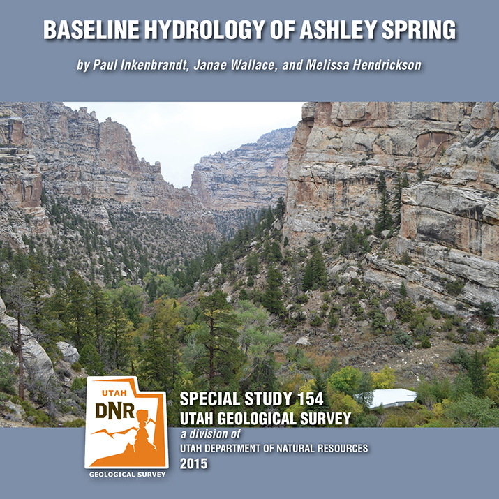
By: Paul Inkenbrandt, Janae Wallace, and Melissa Hendrickson
Ashley Spring is an important water supply for most of the residents in the Vernal area of Uintah County, Utah. The Geological Survey conducted a study to determine the baseline flow paths and water chemistry of the aquifer systems that provide water to the spring. Ashley Spring water is of high quality, which does not vary long term. A Substantial part of the water emanating from Ashley Spring has been in the groundwater system less than one week, originating as recharge at areas along Dry Fork where water seeps into sing and fractures. This CD contains a 54-page report and appendices.


