GeoSight Devils Playground

Do you think playgrounds are boring? Are you getting sick of the same old swing and slide? Well check out this playground—it rocks!

Devils Playground is not your typical playground at the park, but a playground of granitic rock weathered into fantastic forms and eerie shapes. Located on Bureau of Land Management and state land, Devils Playground is a relatively unknown geologic curiosity found in a remote region of northwestern Utah.

Devils Playground consists of Tertiary-age (approximately 38 million years old) granitic rock formed from a cooling magma body that intruded overlying Paleozoic (400 to 300 million years old) sedimentary rocks. Known as the Emigrant Pass pluton, this intrusion covers an area of approximately 10 square miles in the southern part of the Grouse Creek Mountains.

Check out more on Devil’s Playground HERE.

Take a tour of our other GeoSights HERE.

February 19, 2015

Groundwater Levels in Western Juab and Millard Counties are Declining; Additional Pumping Will Accelerate Depletion and Hurt Sensitive-species Habitat and Vegetation

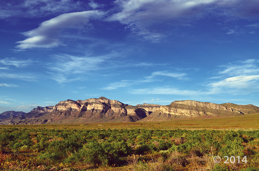
Salt Lake City – A seven year hydrogeologic study to monitor groundwater in Utah’s Snake Valley was recently released by the Utah Geological Survey (UGS), a division of Utah’s Department of Natural Resources. The study shows potential groundwater development in Nevada and Utah would lower groundwater levels and reduce spring flow in west-central Utah used to support agriculture, habitat of sensitive-species and vegetation for grazing.

“The time and resources committed to this study delineates groundwater levels, flow and chemistry in Snake Valley and adjacent basins to a much greater degree than was previously possible,” said Hugh Hurlow, senior scientist for the UGS Groundwater and Paleontology Program. “With pressure to develop groundwater in west-central Utah and east-central Nevada likely to continue, we needed to understand how future development and groundwater use was going to impact Utah residents and natural resources.”

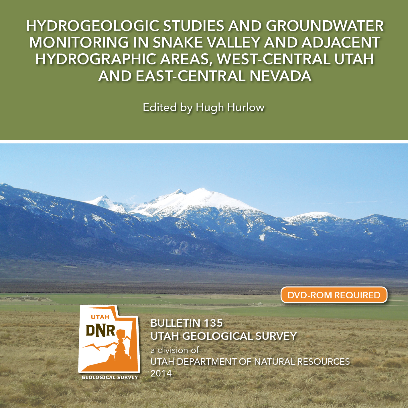
The report, Hydrogeologic Studies and Groundwater Monitoring in Snake Valley and Adjacent Hydropgraphic Areas, West-central Utah and East-central Nevada, closely tested and monitored groundwater in Snake Valley, Tule Valley and Fish Springs in Millard and Juab counties.

Monitoring by UGS revealed that current groundwater use in Snake Valley is slowly depleting the basin-fill aquifer. Present pumping rates will continue to lower groundwater levels and reduce spring flow.

The study also shows future water development and increased pumping in Nevada or Utah would significantly increase the rate and area of groundwater level decline. Additional pumping for local agriculture use, or export from the area would harm springs and shallow groundwater that supports habitat of sensitive-species and vegetation used for grazing.

Additionally, researchers found that shallow basin-fill and deep carbonate-rock aquifers are interconnected. Increased pumping could also cause drawdown from both, which in turn could impact valleys beyond Snake Valley.

“Groundwater pumping would affect environmental conditions and current and future groundwater use in Snake Valley,” Hurlow said. “Taken together, the proposals for groundwater development in the region exceed the groundwater available for development. The current ecosystem would be negatively impacted by all but small levels of additional pumping.”

The UGS study was funded by the Utah Legislature in 2007, primarily to evaluate the impacts of a proposed project by the Southern Nevada Water Authority (SNWA) to pump groundwater from several basins in east-central Nevada for use in Las Vegas. SNWA’s project includes wells in Snake Valley, within five miles of Utah.

SNWA’s original plan requested over 50,000 acre-feet of water per year (AFY) in Snake Valley and over 90,000 AFY in Spring Valley, immediately west of Snake Valley in Nevada. The Nevada State Engineer approved about two-thirds of SNWA’s request for Spring Valley, and has not considered the application for Snake Valley. Legal challenges to the Nevada State Engineer’s award have delayed the project indefinitely.

To complete the hydrogeologic study and groundwater monitoring, UGS developed a monitoring network that includes wells at agricultural areas, springs and remote sites. In all, 76 wells record water levels hourly, and new spring-flow gages are in place at six sites. Data from the study is available on the UGS Groundwater Monitoring Data Portal. Data collection is planned to continue for the foreseeable future.

The report is available for purchase from the Utah Department of Natural Resources Map and Bookstore, 1-888-UTAHMAP, GET IT HERE. A PDF version of the report is also available on the UGS webpage.


Media Contact
Nathan Schwebach
Public Information Officer, DNR
801-440-9094
nathanschwebach@utah.gov

House Range, Millard County, Utah Photographer: J. Lucy Jordan; © 2014

POTD 2-17-15 House Range, Millard County

House Range, Millard County, Utah
Photographer: J. Lucy Jordan; © 2014

Where’s winter? On the upside, today feels a little like this photo—it is gorgeous out there. The mid-week peak is here with another weekend on the way. Who’s got outdoor adventures in their forecast??

standard.net

State scientists have weighed in on Summit’s controversial pump test, and appear to have some positive implications for the ski resort owners.

READ MORE

Bulletin 135, Snake Valley, Groundwater

We’ve got our latest publication on the hydrogeologic studies done in Snake Valley hot off the press. Check out the press releases below.

edited by Hugh Hurlow

This report (269 p. 4Pl.) presents hydrogeologic, groundwater-monitoring, and hydrochemical studies by the Utah Geological Survey (UGS) in Snake Valley, Tule Valley, and Fish Springs Flat in Millard and Juab Counties, west-central Utah. Data From the newly established UGS groundwater-monitoring network establish current baseline conditions, and will help quantify the effects of future variations in climate and groundwater pumping. New hydrochemical data show that groundwater quality is generally good, major-solute chemistry varies systematically from recharge to discharge areas, and suggest that most groundwater was recharged over one thousand years ago, implying low recharge rates and/or long or slow flow paths. Two aquifer tests yield estimates of transmissivity and storativity for the carbonate-rock and basin-fill aquifers. Variations in the potentiometric surface, hydrogeology, and hydrochemistry are consistent with the hypothesis of regional groundwater flow from Snake Valley northeast to Tule Valley and Fish Springs. Collectively, our work delineates groundwater levels, flow, and chemistry in Snake Valley and adjacent basins to a much greater degree than previously possible, and emphasizes the sensitivity of the groundwater system to possible increases in groundwater pumping.

GET IT HERE

Check out some news releases online as well!

deseretnews.com
Study: Snake Valley groundwater development unsustainable
VIEW HERE

kcsg.com
Report highlights impacts to Utah’s Snake Valley if development proceeds
VIEW HERE

Here’s a read covering the issues in Iron County surrounding the declining underground water levels, and its effects up above.

ironcountytoday.com

Since at least the 1960s, more water has been removed from Cedar Valley’s underground water supply than has been replenished, and that problem is only getting worse.

READ MORE

San Rafael Swell and Henry Mountains from Temple Mountain, Emery County, Utah Photographer: Paul Kuehne; © 2014

This photo shows another way that ‪#‎UtahGeology‬ can really knock you off of your feet. Don’t forget your sea legs as you look out over the vast sea of geology!

POTD 2-10-15 San Rafael Swell, Henry Mountains, Emery County

San Rafael Swell and Henry Mountains from Temple Mountain, Emery County, Utah
Photographer: Paul Kuehne; © 2014

Make way for the tall, small, and furry! The Natural History Museum of Utah is presenting their latest exhibit “Extreme Mammals” this Saturday! Check out the article for more information on the exhibit.

sltrib.com

People take mammals for granted.

READ MORE

sltrib.com

Residents of the southern Utah hamlet of Richfield had a mildly disturbing interruption to their slumber early Thursday morning — a 3.1 magnitude earthquake.

READ MORE

See the USGS Report HERE.

Talk about leaving no stone unturned. Check out this article on tectonic plates, and how scientists are learning what drives them.

smithsonianmag.com

By setting off explosions and listening for their reverberations deep inside Earth, scientists have taken the equivalent of a CT scan of the base of a tectonic plate. The results show that the base has a thin, slippery layer that may help the plate move across a more viscous layer of rock below—and may explain what drives plate tectonics.

READ MORE