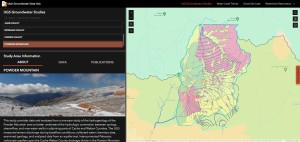
Water level trends from UGS and U.S. Geological Survey data can be viewed in the Utah Groundwater Data Hub in a map and dashboard. Water levels over time are graphed dynamically when a well is selected from the map. Users can view the overall trends and download selected data.
Water level trends from UGS and U.S. Geological Survey data can be viewed in the Utah Groundwater Data Hub in a map and dashboard. Water levels over time are graphed dynamically when a well is selected from the map. Users can view the overall trends and download selected data.


