Tag Archive for: Utah Geological Survey

MP 15-4 Insert Hydrocarbon Chainman Shale

A recently released study by the Utah Geological Survey (UGS), reveals untapped potential oil and gas resources in western Utah and eastern Nevada. Petroleum companies conducting oil exploration in the region can use the study to help evaluate oil and gas potential on federal and state lands, and identify possible drilling targets.

Landowners, government regulators and planners, investors, and other stakeholders will also find.

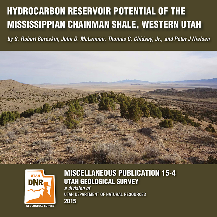
The UGS study focusses on the rock types, paleoenvironments, mechanical properties (critical for oil and gas production), and chemical characteristics of a 1500-foot-thick Chainman Shale outcrop exposed in the central Confusion Range of western Millard County. The Chainman Shale is an organic-rich geologic formation that was deposited in an ancient sea over 350 million years ago. Additionally, based on the surface samples, the study includes a hypothetical assessment of how much oil and gas the Chainman Shale may contain elsewhere in the region.

The report, UGS Miscellaneous Publication 15-4, is available for purchase in digital format (on CD) from the Utah Department of Natural Resources Map and Bookstore, 1-888-UTAHMAP, http://www.mapstore.utah.gov/. A PDF of a summary poster, which was presented during the 2013 American Association of Petroleum Geologists Rocky Mountain Section meeting in Salt Lake City, is also available on the UGS webpage: http://geology.utah.gov/docs/pdf/chainman_poster_aapg-rms2013.pdf.

For more information about the report or the Chainman Shale, contact Thomas C. Chidsey, Jr., at 801-537-3364 or tomchidsey@utah.org.

Media Contact
Nathan Schwebach
801-538-7303
nathanschwebach@utah.gov

The Colorado River loops around the Gooseneck between Dead Horse Point State Park and distant cliffs of the Island in the Sky District of Canyonlands National Park. The river has carved and exposed nearly flat-lying Jurassic to Pennsylvanian-age sedimentary strata of the Colorado Plateau. Dead Horse Point State Park, San Juan County, Utah Photographer: Gregg Beukelman; © 2014

While this photo is a throwback to colder seasons, we cannot deny the stunning #UtahGeology present. This crisp, cold picture is worth a thousand hand warmers—that’s how the saying goes, right?

POTD 5-12-15 Dead Horse Point San juan

Dead Horse Point State Park, San Juan County, Utah
Photographer: Gregg Beukelman; © 2014

The Colorado River loops around the Gooseneck between Dead Horse Point State Park and distant cliffs of the Island in the Sky District of Canyonlands National Park. The river has carved and exposed nearly flat-lying Jurassic to Pennsylvanian-age sedimentary strata of the Colorado Plateau.

Needles District, Canyonlands National Park, San Juan County, Utah Photographer: Adam Hiscock; © 2014

POTD 5-5-15 Needles District Canyonlands

Needles District, Canyonlands National Park, San Juan County, Utah
Photographer: Adam Hiscock; © 2014


The Watchman (6,545 feet), composed of Jurassic-age Navajo Sandstone, stands guard over the southern entrance to Zion Canyon. The canyon has been carved by the North Fork Virgin River, which has eroded downward thousands of feet through the Navajo and underlying Kayenta and Moenave Formations. Zion National Park, Washington County, Utah Photographer: Gregg Beukelman; © 2014

POTD 4-28-15 Zion Watchman

Zion National Park, Washington County, Utah
Photographer: Gregg Beukelman; © 2014

The Watchman (6,545 feet), composed of Jurassic-age Navajo Sandstone, stands guard over the southern entrance to Zion Canyon. The canyon has been carved by the North Fork Virgin River, which has eroded downward thousands of feet through the Navajo and underlying Kayenta and Moenave Formations.

Metate Arch is sculpted by weathering and differential erosion of two sandstone layers along the contact of the Gunsight Butte and overlying Cannonville Members of the Jurassic-age Entrada Sandstone. The arch is about 17 miles southeast of Escalante, just east of the Straight Cliffs. Metate Arch, Devils Garden Outstanding Natural Area, Garfield County, Utah Photographer: Ken Krahulec; © 2014

POTD 4-21-15 Devils Garden Metate Arch

Metate Arch, Devils Garden Outstanding Natural Area, Garfield County, Utah
Photographer: Ken Krahulec; © 2014

Erosion has exposed and sculpted Jurassic-age sedimentary rocks in the southern San Rafael Swell. Near Goblin Valley State Park, towering Wild Horse Butte comprises the Morrison and Summerville Formations (top cliff layers), Curtis Formation (middle slope layer), and Entrada Sandstone (bottom reddish layer). San Rafael Swell, Emery County, Utah Photographer: Taylor Boden; © 2014

POTD 4-14-15, San Rafael Swell

San Rafael Swell, Emery County, Utah
Photographer: Taylor Boden; © 2014

Erosion has exposed and sculpted Jurassic-age sedimentary rocks in the southern San Rafael Swell. Near Goblin Valley State Park, towering Wild Horse Butte comprises the Morrison and Summerville Formations (top cliff layers), Curtis Formation (middle slope layer), and Entrada Sandstone (bottom reddish layer).

SS-154 Baseline Hydrology of Ashley Spring

By: Paul Inkenbrandt, Janae Wallace, and Melissa Hendrickson

Ashley Spring is an important water supply for most of the residents in the Vernal area of Uintah County, Utah. The Geological Survey conducted a study to determine the baseline flow paths and water chemistry of the aquifer systems that provide water to the spring. Ashley Spring water is of high quality, which does not vary long term. A Substantial part of the water emanating from Ashley Spring has been in the groundwater system less than one week, originating as recharge at areas along Dry Fork where water seeps into sing and fractures. This CD contains a 54-page report and appendices.

GET IT HERE

Happy Friday! Take a minute to enjoy Discovery Canada’s short on our Paleontologists here at the Utah Geological Survey and their work on the nearly 9-ton fossil block containing a family of Utahraptor. See James Kirkland, Scott Madsen, Don DeBlieux, and help from others as they unravel their Utahraptor puzzle.

discovery.ca

SEE IT HERE

Entrada Sandstone in Cathedral Valley, Capitol Reef National Park, Wayne County, Utah Photographer: Tyler Knudsen; © 2014

POTD 4-7-15 Capitol Reef National Park

Entrada Sandstone in Cathedral Valley, Capitol Reef National Park, Wayne County, Utah
Photographer: Tyler Knudsen; © 2014

M-271DM Map Santa Clara Quadrangle

By: Grant C. Willis and Janice M. Hayden

The Santa Clara 7.5′ quadrangle is in the northwestern part of the St. George basin in southwestern Utah, and includes Santa Clara and Ivins Cities, and colorful Red Mountain and Snow Canyon State Park. Movement on an underlying thrust fault created a variety of faults, joints, deformation shear bands, and brecciated rock in Triassic and Jurassic strata in many areas. Remnants of six Quaternary basalt flows cap ridges and benches, forming classic inverted valleys, and form lava cascades in Snow Canyon State Park. The young Santa Clara flow cascaded through Snow Canyon and flooded across broad benches, forming scenic black terrain that contrasts sharply with red-brown to near-white sandstone cliffs. Landslides, rock falls, swelling clays, and other geology and related flooding and debris flow hazards have caused extensive damage in recent years and present increasing challenges as growth and development continue. “Blue Clay” of the Chinle Formation has been at the root of significant damage to roads, buildings, and infrastructure.

GET IT HERE