
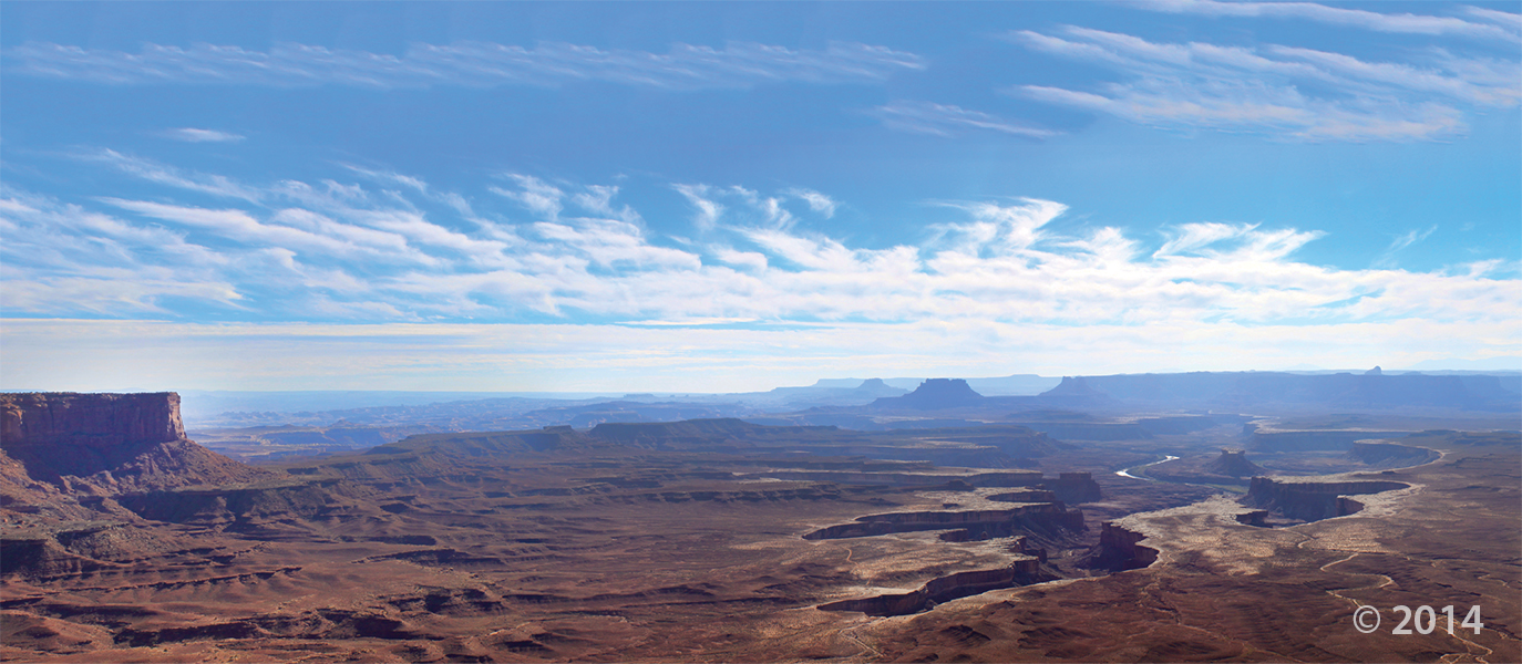
Island in the Sky District, Canyonlands National Park, San Juan County, Utah
Photographer: Stevie Emerson; © 2014
Island in the Sky District, Canyonlands National Park, San Juan County, Utah
Photographer: Stevie Emerson; © 2014

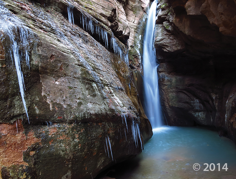
Zion National Park, Washington County, Utah
Photographer: Tyler Knudsen; © 2014
One of numerous slot canyons carved into Jurassic-age Navajo Sandstone in Zion National Park, Bear Trap Canyon is particularly dark and narrow. With little sunlight penetrating to the canyon floor, snow and ice often linger well into spring.
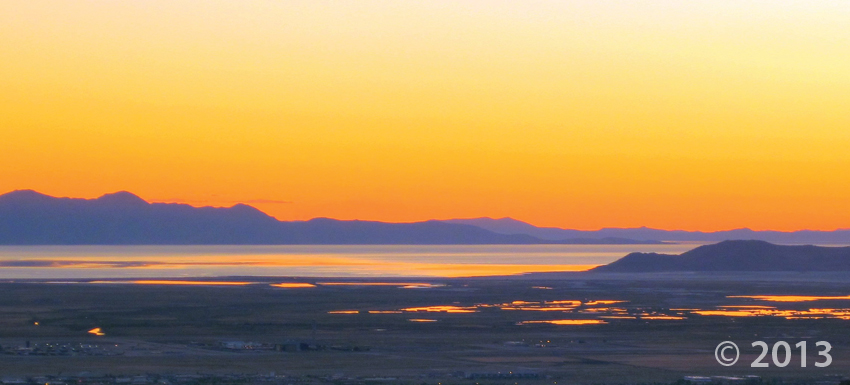

Great Salt Lake, Davis and Tooele Counties, Utah
Photographer: Mark Milligan; © 2013
Take in this photo as your day comes to a close. Sometimes a setting sun brings out the best colors in Utah Geology.
Check out the latest dino news! One of our paleontologists, Scott Madsen, discovered this little guy in 1997 in what is called the Cloverly Formation in southern Montana. Utah State Paleontologist, James Kirkland, talks more about the fossil’s significance in this article.
cbsnews.com
Paleontologists have identified the fossil of a horned dinosaur the size of a house cat that is the oldest of its kind ever discovered in North America – by 15 million years.


Colorful Canyon on the Paria Plateau, Kane County, Utah
Photographer: Gregg Beukelman
usgs.gov
A team of scientists from the USGS Geological Hazards Science Center, led by Mendenhall Postdoctoral Fellow Scott Bennett and Research Geologists Ryan Gold, Richard Briggs, Christopher DuRoss, and Stephen Personius are collaborating with scientists at the Utah Geological Survey to gather data from new paleoseismic trenches along the Wasatch fault zone. These new datasets will help researchers to understand if past surface-rupturing earthquakes have spanned fault segment boundaries. They are also analyzing new high-resolution airborne LiDAR topographic data to characterize previously unmapped fault traces and to measure how vertical displacements (vertical offset of the ground surface from faulting) vary, both in space (from north to south) and time (the last 20,000 years).
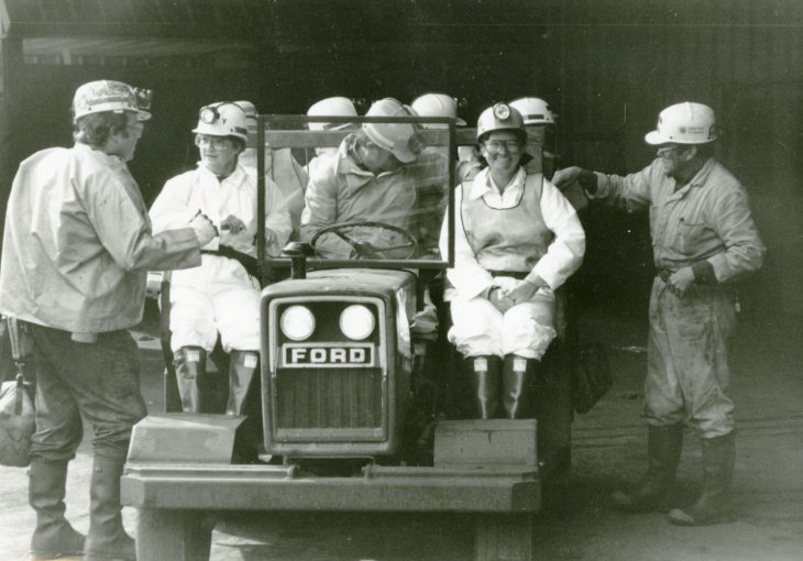
We’re taking you back with today’s #throwbackthursday 1987 photo featuring the Utah Geological Survey (formerly called Utah Geological and Mineral Survey) Board field trip in Price, UT. Have a great afternoon! #tbt #geology


Bear Lake, Rich County, Utah
Photographer: Mark Milligan; © 2013
Mollusk shells along the southwest shore of Bear Lake, Rich County.

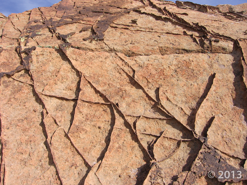
Deformation bands, Aneth oil field, San Juan County, Utah
Photographer: Craig Morgan; © 2013

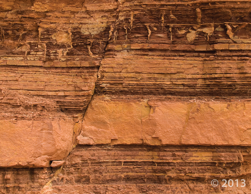
Small fault in the Moenkopi Formation, San Rafael Swell, Emery County, Utah
Photographer: Michael Vanden Berg; © 2013
![]()
The Utah Geological Survey (UGS) is a division of the Utah Department of Natural Resources. Several specialized programs comprise the UGS: Data Management, Energy & Minerals, Geologic Hazards, Geologic Information & Outreach, Geologic Mapping, Groundwater & Wetlands, and Paleontology.