Tag Archive for: oil
deseretnews.com
Editor’s note: This is the first in a two-part series on the rise and fall of the oil industry and its impacts on Utah.
A Gallup poll released in late February revealed Utah residents are the most positive in the nation about their state’s economic conditions.

Our latest issue of Survey Notes is here! Find articles on the new Ogden 30′ x 60′ geological map, the Markagunt Gravity Slide, and more among our regular feature columns.
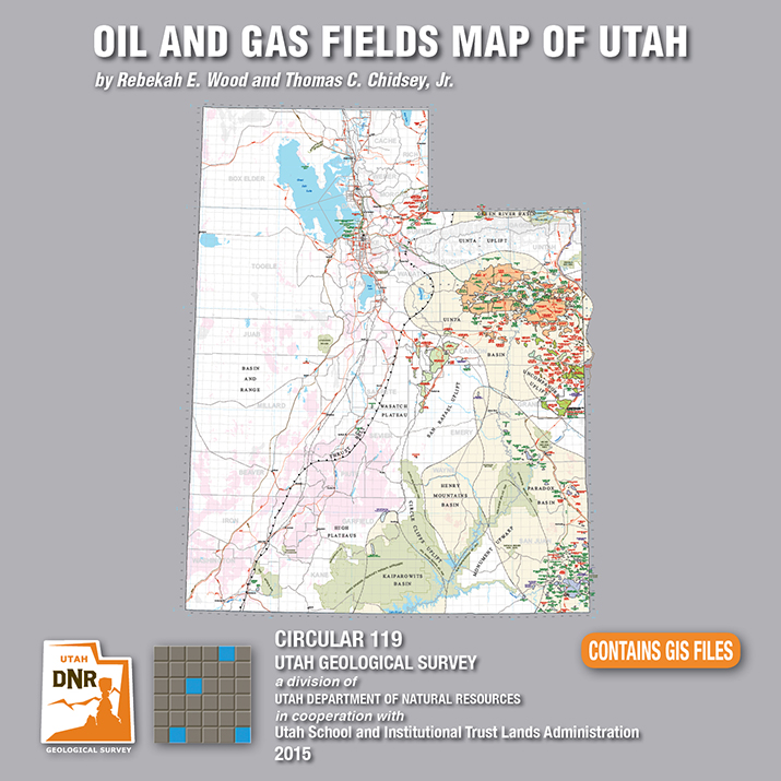
By: Rebekah E. Wood and Thomas C. Chidsey, Jr.
This CD contains an easily viewable 1:700,000-scale map in PDF format of Utah’s oil, gas, and CO₂ fields (past and present); oil gas and CO₂ pipelines with operators; field designations; names and ages of the reservoir rocks; oil refineries and natural gas processing plants; park boundaries and other geographical attributes; and some surficial geologic features. This map is to be used for a general overview and reference for hydrocarbon resources, production, transportation, and processing in Utah. Also included are geographic information system (GIS) files in ESRI file geodatabase and shapefile formats. The latest version of Adobe Reader is required to view the PDF file.
See our news release for this publication HERE
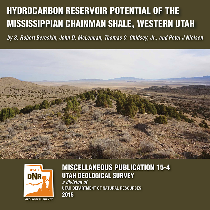
By: S. Robert Bereskin, John D. McLennan, Thomas C. Chidsey, Jr., and Peter J. Nielsen
The Mississippian Chainman Shale represents a potential target for untapped oil and gas resources in western Utah and eastern Nevada. This study focuses on the lithologic, facies, petrographic, petrophysical, and geochemical characteristics of a 500-meter-thick Chainman stratigraphic section exposed in the central Confusion Range of western Millard County, Utah. A hypothetical resources assessment, which can be used for the Chainman regionally, was conducted based on the surface samples’ attributes from the study area. Hypothetical undiscovered hydrocarbons on 80-acre spacing are estimated at 270,000 barrels of oil and 1.5 billion cubic feet of gas per well.
See our news release for this publication HERE
A recently released study by the Utah Geological Survey (UGS), reveals untapped potential oil and gas resources in western Utah and eastern Nevada. Petroleum companies conducting oil exploration in the region can use the study to help evaluate oil and gas potential on federal and state lands, and identify possible drilling targets.
Landowners, government regulators and planners, investors, and other stakeholders will also find.
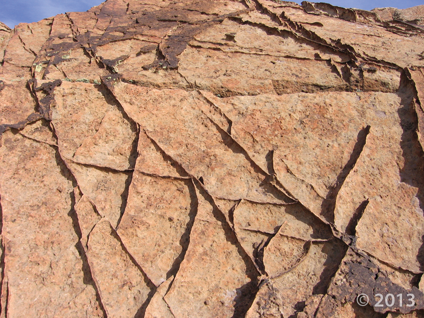
The UGS study focusses on the rock types, paleoenvironments, mechanical properties (critical for oil and gas production), and chemical characteristics of a 1500-foot-thick Chainman Shale outcrop exposed in the central Confusion Range of western Millard County. The Chainman Shale is an organic-rich geologic formation that was deposited in an ancient sea over 350 million years ago. Additionally, based on the surface samples, the study includes a hypothetical assessment of how much oil and gas the Chainman Shale may contain elsewhere in the region.
The report, UGS Miscellaneous Publication 15-4, is available for purchase in digital format (on CD) from the Utah Department of Natural Resources Map and Bookstore, 1-888-UTAHMAP, http://www.mapstore.utah.gov/. A PDF of a summary poster, which was presented during the 2013 American Association of Petroleum Geologists Rocky Mountain Section meeting in Salt Lake City, is also available on the UGS webpage: http://geology.utah.gov/docs/pdf/chainman_poster_aapg-rms2013.pdf.
For more information about the report or the Chainman Shale, contact Thomas C. Chidsey, Jr., at 801-537-3364 or tomchidsey@utah.org.
Media Contact
Nathan Schwebach
801-538-7303
nathanschwebach@utah.gov
Tag Archive for: oil
deseretnews.com
Editor’s note: This is the first in a two-part series on the rise and fall of the oil industry and its impacts on Utah.
A Gallup poll released in late February revealed Utah residents are the most positive in the nation about their state’s economic conditions.

Our latest issue of Survey Notes is here! Find articles on the new Ogden 30′ x 60′ geological map, the Markagunt Gravity Slide, and more among our regular feature columns.
By: Rebekah E. Wood and Thomas C. Chidsey, Jr.
This CD contains an easily viewable 1:700,000-scale map in PDF format of Utah’s oil, gas, and CO₂ fields (past and present); oil gas and CO₂ pipelines with operators; field designations; names and ages of the reservoir rocks; oil refineries and natural gas processing plants; park boundaries and other geographical attributes; and some surficial geologic features. This map is to be used for a general overview and reference for hydrocarbon resources, production, transportation, and processing in Utah. Also included are geographic information system (GIS) files in ESRI file geodatabase and shapefile formats. The latest version of Adobe Reader is required to view the PDF file.
See our news release for this publication HERE
By: S. Robert Bereskin, John D. McLennan, Thomas C. Chidsey, Jr., and Peter J. Nielsen
The Mississippian Chainman Shale represents a potential target for untapped oil and gas resources in western Utah and eastern Nevada. This study focuses on the lithologic, facies, petrographic, petrophysical, and geochemical characteristics of a 500-meter-thick Chainman stratigraphic section exposed in the central Confusion Range of western Millard County, Utah. A hypothetical resources assessment, which can be used for the Chainman regionally, was conducted based on the surface samples’ attributes from the study area. Hypothetical undiscovered hydrocarbons on 80-acre spacing are estimated at 270,000 barrels of oil and 1.5 billion cubic feet of gas per well.
See our news release for this publication HERE
A recently released study by the Utah Geological Survey (UGS), reveals untapped potential oil and gas resources in western Utah and eastern Nevada. Petroleum companies conducting oil exploration in the region can use the study to help evaluate oil and gas potential on federal and state lands, and identify possible drilling targets.
Landowners, government regulators and planners, investors, and other stakeholders will also find.
The UGS study focusses on the rock types, paleoenvironments, mechanical properties (critical for oil and gas production), and chemical characteristics of a 1500-foot-thick Chainman Shale outcrop exposed in the central Confusion Range of western Millard County. The Chainman Shale is an organic-rich geologic formation that was deposited in an ancient sea over 350 million years ago. Additionally, based on the surface samples, the study includes a hypothetical assessment of how much oil and gas the Chainman Shale may contain elsewhere in the region.
The report, UGS Miscellaneous Publication 15-4, is available for purchase in digital format (on CD) from the Utah Department of Natural Resources Map and Bookstore, 1-888-UTAHMAP, http://www.mapstore.utah.gov/. A PDF of a summary poster, which was presented during the 2013 American Association of Petroleum Geologists Rocky Mountain Section meeting in Salt Lake City, is also available on the UGS webpage: http://geology.utah.gov/docs/pdf/chainman_poster_aapg-rms2013.pdf.
For more information about the report or the Chainman Shale, contact Thomas C. Chidsey, Jr., at 801-537-3364 or tomchidsey@utah.org.
Media Contact
Nathan Schwebach
801-538-7303
nathanschwebach@utah.gov


