Tag Archive for: new publication

B-136 Insert

By: Thomas C. Chidsey, Jr.

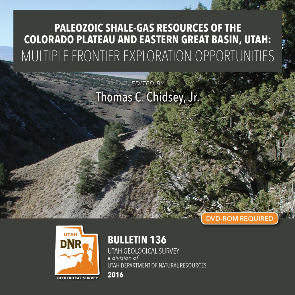
This report (241 pages of text, 187 figures, 30 tables, and 21 appendices) presents the shale-gas potential of the Mississippian-Pennsylvanian Manning Canyon Shale/Doughnut Formation and the Pennsylvanian Paradox Formation (Chimney Rock, Gothic, and Hovenweep shales) of central and southeastern Utah, respectively. Shale beds within these formations are widespread, thick, buried deep enough to generate dry gas (or oil in some areas of the Paradox Basin), and sufficiently rich in organic material and fractures to hold significant recoverable gas reserves. This study provides a detailed evaluation of these potential shale-gas reservoirs including (1) drilling history, (2) identification and mapping/ correlating the major shale intervals, (3) characterization of the geologic, petrographic, geochemical, and petrophysical rock properties of those reservoirs from cores, (4) burial histories and organic maturation models, and (5) descriptions of outcrop analogs. Collectively, this study delineates the areas with the greatest gas potential (“sweet spots”) and offers recommendations for the best completion practices to develop these targeted shale-gas reservoirs.

GET IT HERE

MP-16-2DM Insert

Geologic Map of The Donkey Flat Quadrangle, Uintah County, Utah

By: Paul H. Jensen, Douglas A. Sprinkel, Bart J. Kowallis, and Kent D. Brown

The Donkey Flat quadrangle is less than 10 miles north-northeast of Vernal, Utah, along the south flank of the Uinta Mountains in Uintah County. It includes Red Fleet State Park and is crossed by U.S. Highway 191 (a National Scenic Byway). The geology is well exposed and uncomplicated, making a dramatic landscape with thick sandstone cliffs and varicolored to drab gray slopes. The quadrangle’s namesake, Donkey Flat, is a one of several geomorphic surfaces mantled by piedmont gravel deposits.

GET IT HERE

MP-15-6 cd cover PALEOSEISMOLOGY

Edited By: William R. Lund

This publication presents four investigations that provide new geologic and paleoseismic data on the Washington fault zone in southwestern Utah and northwestern Arizona. (1) New 1:24,000-scale geologic mapping shows the location and length of young surface ruptures and the relative ages of displaced surficial deposits along the fault zone. Based on the mapping, the former Northern section of the fault zone has been subdivided into the Fort Pearce and Washington Hollow sections. (2) A paleoseismic trenching investigation of a scarp on a latest Quaternary alluvial fan in Arizona that provides information on paleoearthquake timing, displacement, and recurrence for the Fort Pearce section, which traverses the St. George metropolitan area. (3) Trace element and major oxide geochemical correlation and radiometric dating of volcanic flows displaced across the fault that provide early to middle Quaternary vertical slip-rates for the Fort Pearce and Sullivan Draw sections of the fault.. (4) A geotechnical investigation that provides information on fault locations, paleoearthquakes, and displacement no the Fort Pearce section. These investigations show the Fort Pearce section of the Washington fault zone has experienced at least two surface-faulting earthquakes in the Holocene and a minimum of five earthquakes in the past ~68 ka.

GET IT HERE


OFR-643 InsertMedRGB

By: James C. Coogan, Jon K. King, and Greg N. McDonald

The Morgan 7.5′ quadrangle, named for the city of Morgan, is located southeast of Ogden, Utah, and is transected by Morgan Valley where the Weber River, U.S. Interstate Highway 84, and Union Pacific Railroad are located. In the map area, the east-dipping limb and part of the Wasatch anticlinorium are exposed on Durst Mountain, east and north of the Weber River. Interpretations of the geology on Durst Mountain begin with back-rotation of this limb of Paleozoic rocks. Younger Paleozoic and Mesozoic rocks in the limb are exposed to the east in the Devils Slide quadrangle. At least 8000 feet (1800m) cf folded Cenozoic sedimentary rocks fill the fault-bounded Morgan Valley. Some fault scarps are Quaternary in age. The most notable fill is the Eocene and Oligeocene(?) Norwood Formation that underlies roughly the west half of the quadrangle. These altered tuffaceous rocks are prone to landsliding. This CD contains two plates-a geologic map at 1:24,000 scale and an explanation plate-and a 25-page booklet, all in PDF format.

GET IT HERE

OFR-647 insert

By: Douglas A. Sprinkel

The interim geologic map of the east part of the Duchesne 30’x60′ quadrangle (year 3) consists of eighteen 7.5 minute quadrangles and is the third year of a multi-year project to map and compile the geology of this quadrangle. The quadrangle is located mostly in the western Uinta basin, with the northwest corner located along the southwest flank of the Uinta Mountains but the area mapped is centered on Roosevelt, Utah. The map area includes a variety of surficial deposits that range from historic to lower Pleistocene piedmont alluvium, stream alluvium, and glacial deposits. Bedrock map units include members of the Duchesne River formation, the upper two members of the Uinta Formation, and upper two members of the Green River Formation. Members of the Duchesne River Formation are (in descending order) Starr Flat, Lapoint, Dry Gulch Creek, and Brennan Basin. Members of the Uinta Formation are (in descending order) member C and member B. The sandstone and limestone facies and the saline facies are of the Green River Formation are exposed south of U.S. Highway 40 and south-southwest of Duchesne, Utah. Structural features include the axis of the Uinta Basin syncline (and associated folds), the Uinta Basin-Mountain boundary fault zone located in the northern part of the map area with evidence of movement in the Quaternary, and the Duchesne fault zone located in the southern part of the map area. The Duchesne 30’x60′ quadrangle also contains an array of geologic resources including minerals, phosphate, sand and gravel, and gilsonite, but energy resources are the most significant with the giant Altamont-Bluebell and Monument Butte fields included in the quadrangle.

GET IT HERE

C-120 Utah Extractive Resource Circular

By: Taylor Boden, Ken Krahulec, David Tabet, Andrew Rupke, and Michael Vanden Berg

GET IT HERE

OFR-632 insert

By: Steve D. Bowman, Adam I. Hiscock, and Corey D. Unger

This nine DVD set contains a descriptive 8-page report and digital files created from the Wasatch fault investigation project performed for the Utah Geologic and Mineralogical Survey (now the Utah Geological Suvey) and U.S. Geological Survey by Woodward-Lundgren & Associates. The project was performed to identify surface fault rupture hazard areas along the Wasatch fault in Cache Valley. This compilation contains digital scans of three separate Wasatch fault reports, 47 fault maps, and 1382 scanned low-sun-angle-arial photographs (frames). The digital files include aerial photograph scans in TIFF format, fault maps in TIFF and Adobe PDF formats, and index maps in Google Earth KMZ, GIS shapefile and Adobe PDF formats. Specialized software (not included) is required to utilized the Google Earth and GIS files, and can be downloaded from the internet.

This compilation will be useful for professionals involved with paleoseismology investigations; land-use planning and management; government agencies; and the general public and others as a historical archive. Low-sun-angle aerial photography was used to highlight certain topographic features, such as fault scarps and traces, for mapping purposes.

GET IT HERE

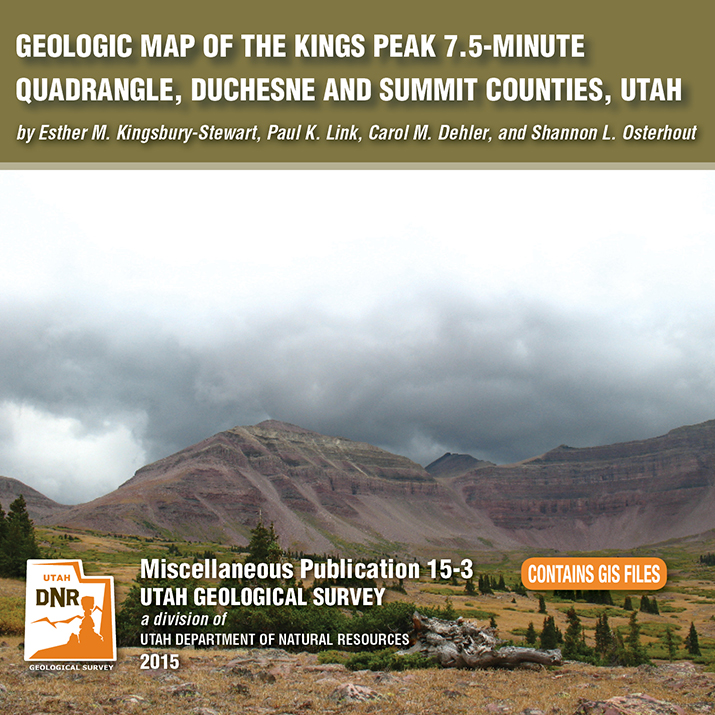
MP 15-3 Insert

By: Esther M. Kingsbury-Stewart, Paul K. Link, Carol M. Dehler, and Shannon L. Osterhout

The Kings Peak 7.5-minute quadrangle straddles the crest of the Uinta Mountains in the High Uinta Wilderness Area and contains Kings Peak, Utah’s highest point. The peaks and cliffs are comprised of the newly formalized formations of the Neoproterozoic (late Precambrian) Uinta Mountain Group, which is about 770 to 742 million years old. The basins, basin margins, and cirques are filled with glacial deposits of Smith Fork age-32,000 to 14,000 years ago (Pinedale equivalent). The quadrangle also straddles the anticline crest of the Uinta arch. A series of igneous dikes are exposed in the quadrangle. These dikes cut formations of the Uinta Mountain Group are about 450 to 490 million years old.

GET IT HERE

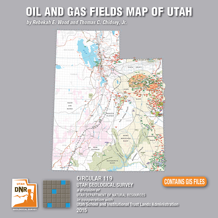
C-119 Insert

By: Rebekah E. Wood and Thomas C. Chidsey, Jr.

This CD contains an easily viewable 1:700,000-scale map in PDF format of Utah’s oil, gas, and CO₂ fields (past and present); oil gas and CO₂ pipelines with operators; field designations; names and ages of the reservoir rocks; oil refineries and natural gas processing plants; park boundaries and other geographical attributes; and some surficial geologic features. This map is to be used for a general overview and reference for hydrocarbon resources, production, transportation, and processing in Utah. Also included are geographic information system (GIS) files in ESRI file geodatabase and shapefile formats. The latest version of Adobe Reader is required to view the PDF file.

GET IT HERE

See our news release for this publication HERE

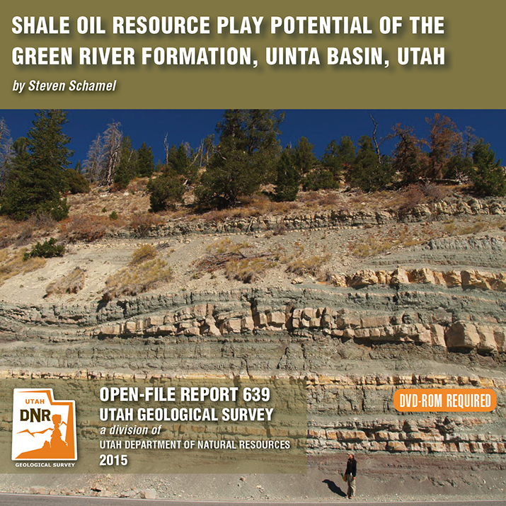
OFR-639 Insert

By: Steven Schamel

The Green River Formation in the Uinta Basin has may characteristics typical of an ideal shale oil resource play. It is a world-class oil-prone source rock. In nearly all parts of the basin there are many thousands of net feet of Type-l and Type-ll kerogen-rich calcareous mudstones, many intervals of which have average total organic carbon (TOC) of 5-10% or greater. In the north-central and western parts of the basin a substantial part of the formation is in the oil-generative window. Furthermore, organic maturation simulations done in this study using PRA BasinView-3D™ indicates early entry into the oil-generative window. In the northwest parts of the basin the lower Green River Formation was generating oil even before the end of the Eocene and slowing of sediment accumulation in the basin. The Green River Formation is unquestionably a superb petroleum system responsible for very large cumulative production of oil and associated natural gas, and an even larger potential oil sand resource. This DVD contains a 65-page report.

GET IT HERE