Tag Archive for: new publication

MP 15-4 Insert Hydrocarbon Chainman Shale

By: S. Robert Bereskin, John D. McLennan, Thomas C. Chidsey, Jr., and Peter J. Nielsen

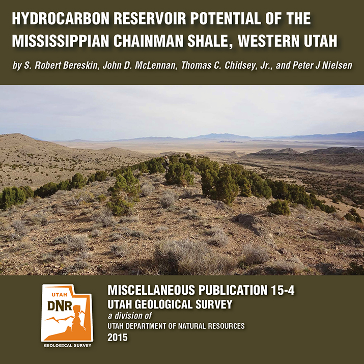
The Mississippian Chainman Shale represents a potential target for untapped oil and gas resources in western Utah and eastern Nevada. This study focuses on the lithologic, facies, petrographic, petrophysical, and geochemical characteristics of a 500-meter-thick Chainman stratigraphic section exposed in the central Confusion Range of western Millard County, Utah. A hypothetical resources assessment, which can be used for the Chainman regionally, was conducted based on the surface samples’ attributes from the study area. Hypothetical undiscovered hydrocarbons on 80-acre spacing are estimated at 270,000 barrels of oil and 1.5 billion cubic feet of gas per well.

GET IT HERE

See our news release for this publication HERE

SS-154 Baseline Hydrology of Ashley Spring

By: Paul Inkenbrandt, Janae Wallace, and Melissa Hendrickson

Ashley Spring is an important water supply for most of the residents in the Vernal area of Uintah County, Utah. The Geological Survey conducted a study to determine the baseline flow paths and water chemistry of the aquifer systems that provide water to the spring. Ashley Spring water is of high quality, which does not vary long term. A Substantial part of the water emanating from Ashley Spring has been in the groundwater system less than one week, originating as recharge at areas along Dry Fork where water seeps into sing and fractures. This CD contains a 54-page report and appendices.

GET IT HERE

M-271DM Map Santa Clara Quadrangle

By: Grant C. Willis and Janice M. Hayden

The Santa Clara 7.5′ quadrangle is in the northwestern part of the St. George basin in southwestern Utah, and includes Santa Clara and Ivins Cities, and colorful Red Mountain and Snow Canyon State Park. Movement on an underlying thrust fault created a variety of faults, joints, deformation shear bands, and brecciated rock in Triassic and Jurassic strata in many areas. Remnants of six Quaternary basalt flows cap ridges and benches, forming classic inverted valleys, and form lava cascades in Snow Canyon State Park. The young Santa Clara flow cascaded through Snow Canyon and flooded across broad benches, forming scenic black terrain that contrasts sharply with red-brown to near-white sandstone cliffs. Landslides, rock falls, swelling clays, and other geology and related flooding and debris flow hazards have caused extensive damage in recent years and present increasing challenges as growth and development continue. “Blue Clay” of the Chinle Formation has been at the root of significant damage to roads, buildings, and infrastructure.

GET IT HERE

MP 15-2DM, Hogup Bar Quadrangle, Box Elder

By: Daren T. Nelson and Paul W. Jewell

The Hogup Bar quadrangle is located southeast of Park Valley, Utah, and west of the northwest arm of Great Salt Lake. Late Pleistocene Lake Bonneville sediments and related shorelines dominate the landscape, and record the transgression and regression of Lake Bonneville. Surficial deposits overlie Tertiary basalt and Permian-Pennsylvanian sedimentary bedrock.

GET IT HERE

By: Peter D. Rowley, Edward F. Rutledge, David J. Maxwell, Gary L. Dixon, and Chester A. Wallace

This 27-page report analyzes new detailed (1:12,000 scale) geologic mapping of a 14 square mile area centered by the high-temperature (350°F) Sulphurdale heat source, which at the surface makes up a circular area about a mile in diameter that is likely caused by a magma body at depth. A former small steam-driven geothermal electric power plant in the circular area is being replaced by a larger plant (Enel Green Power North America) that will use binary technology. Five cross sections tied to and at the same scale as the map help interpret the likely extent of the geothermal resource. Sulfur derived from evaporites at depth was initially mined at a solfatara above the heat source; associated sulfuric acid seeped downward to remove the Kaibab Limestone and Toroweap Formation from the subsurface.

GET IT HERE