Tag Archive for: geological

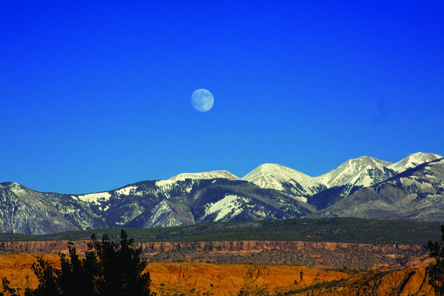
Devils Garden, Grand Staircase–Escalante National Monument, Garfield County, Utah
Photographer: Ken Krahulec

Metate Arch is sculpted by weathering and differential erosion of two sandstone layers along the contact of the Gunsight Butte and overlying Cannonville Members of the Jurassic-age Entrada Sandstone. The arch is about 17 miles southeast of Escalante, just east of the Straight Cliffs.

Capitol Reef National Park, Wayne County, Utah
Photographer: Stevie Emerson

The Fremont River cuts through the Waterpocket Fold, Capitol Reef National Park, Wayne County.

What in the world is a gooseneck? When it comes to describing a landform, fowl play (pun intended) may seem apparent. Even when you are standing in front of one, the answer is not obvious. Not until you get a look from above does this name start to make sense.

READ MORE

Current Issue Contents:

  • Microbial Carbonate Reservoirs and the Utah Geological Survey’s “Invasion” of London
  • Utah Still Supplying Gilsonite to the World After 125 Years
  • Frack Sand in Utah?
  • Energy News
  • GeoSights: St. George Dinosaur Discovery Site at Johnson’s Farm, Washington County
  • Glad You Asked: How can sedimentary rocks tell you about Utah’s history?
  • Teacher’s Corner
  • Survey News
  • New Publications

GET IT HERE

PAST ISSUES

Green River, San Rafael Desert, Emery County, Utah
Photographer: Tom Chidsey

An ancient, meandering river channel composed of resistant sandstone in the Cedar Mountain Formation now stands 100 feet higher than the surrounding, less resistant siltstone and shale landscape southwest of Green River, San Rafael Desert, Emery County.

White River, southeastern Uintah County, Utah
Photographer: Robert Ressetar

The White River carved this amphitheater in the flat-lying and remarkably parallel rock layers that were deposited in a Tertiary-age lake on the south flank of the Uinta Mountains.

Wah Wah Mountains, Millard County, Utah
Photographer: Tyler Knudsen

Nearly 1,000 feet of the Tunnel Spring Tuff, erupted from a nearby caldera about 35 million years ago, makes up Crystal Peak in the Wah Wah Mountains, Millard County.

Happy New Year, everyone!! Here’s a beautiful photo to start out the new year.

House Range, Millard County, Utah
Photographer: Tyler Knudsen

Sawtooth Mountain, which exhibits desert varnish and spheroidal weathering along joints, is a granitic intrusion in the House Range, Millard County.

Here is a gorgeous photo to the end of another great year. We wish all of our geo friends a safe and wonderful New Year. See you in 2014!

Henry Mountains, Garfield County, Utah
Photographer: Ken Krahulec

The “dome” character of a laccolith, where the sedimentary rock layers are tilted upward on the mountain flanks, is evident at Mount Ellsworth in the Henry Mountains, Garfield County.

The La Sal Mountains, near Moab in southeastern Utah, are laccoliths formed when upwelling magma intruded into and bulged the overlying sedimentary rock layers upward. The magma did not reach the surface, but subsequent erosion of the softer sedimentary rocks exposed the peak-forming igneous rocks that rise above the surrounding landscape. La Sal Mountains, Grand and San Juan Counties, Utah Photographer: Jay Hill

La Sal Mountains, Grand and San Juan Counties, Utah
Photographer: Jay Hill

The La Sal Mountains, near Moab in southeastern Utah, are laccoliths formed when upwelling magma intruded into and bulged the overlying sedimentary rock layers upward. The magma did not reach the surface, but subsequent erosion of the softer sedimentary rocks exposed the peak-forming igneous rocks that rise above the surrounding landscape.