Media Inquiry:
Hollie Brown, Public Information Officer, Utah Geological Survey, 801-243-9466 – holliebrown@utah.gov

New Utah Rockhounder Interactive Map Available
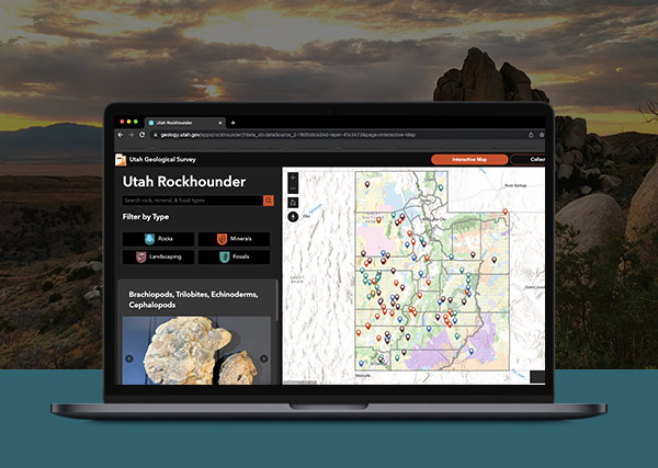
Salt Lake City (August 3, 2022) – The Utah Geological Survey, in partnership with the Bureau of Land Management, has launched a new rockhounding application highlighting where to find rocks, minerals and fossils in Utah. An interactive map allows users to filter by interest and provides location descriptions, land ownership information, coordinates, directions and photos. The app is available at https://geology.utah.gov/apps/rockhounder and was designed for use on desktop, tablet, and mobile devices.
Using information from a publication by James R. Wilson, A Collector’s Guide to Rock, Mineral, & Fossil Localities of Utah (UGS Miscellaneous Publication 95-4), UGS staff verified and updated the sites, including photos, to provide as accurate information as possible. Technical staff digitized the data points into a user-friendly map.
Good stewardship of the land requires proper rockhounding etiquette. The application provides information on respectful rockhounding, safety tips and collecting information, and resources for specimen identification. Depending on location and land ownership, additional permits may be required from state, federal, or local agencies. Please respect private property rights and do not trespass.


