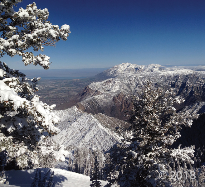
Northern Wasatch Range, Weber County

Photographer: Adam McKean © 2018

Looking north along the steep Wasatch Range, the city of Ogden (on the left) lies in a valley created by the Wasatch fault zone, and the rocks of the mountain range have been deformed by the Ogden and Willard thrust zones.

Henry Mountains, Garfield County

Photographer: Gregg Beukelman © 2018

Intrusive laccoliths, formed between 23 and 31 million years ago, rise spectacularly over 6,000 feet above a surrounding structural basin.

Dixie National Forest, Garfield County

Photographer: Brian Butler © 2018

Jurassic-age Navajo Sandstone cliffs of Death Hollow, as seen from Hells Backbone, glow serenely in the evening twilight.

November 07, 2018: West side of the Mineral Mountains, Beaver County

Photographer: Adam Hiscock © 2018

Central Wasatch Range, Salt Lake County

Photographer: 
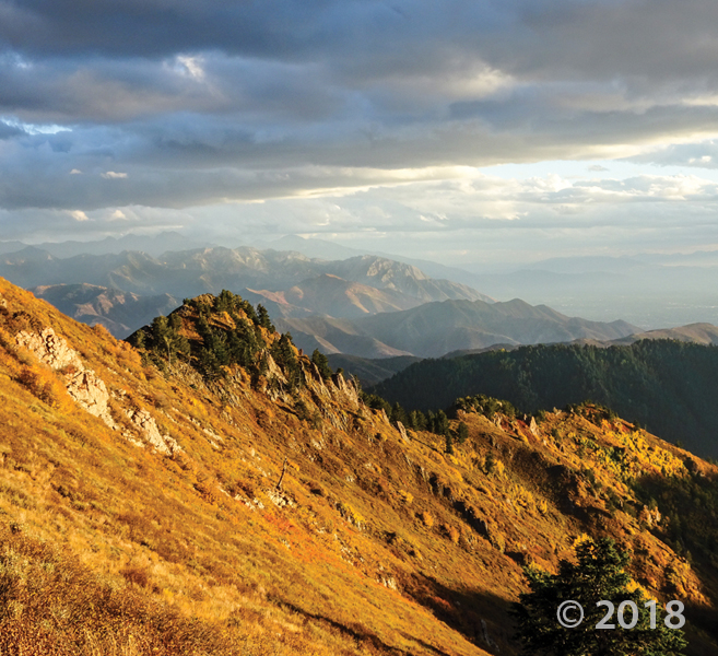
Zach Anderson © 2018

Pennsylvanian- and Permian-age limestone and sandstone are illuminated by the setting sun near Grandview Peak.

Photo of the Day (POTD) September 27, 2018: Factory Butte, Wayne County

Photographer: J. Lucy Jordan © 2018

San Rafael Swell, Emery County
Photographer: Andy Cvar © 2018
Reduced and oxidized mudstone of the Triassic-age Chinle Formation.

Colorado River, Cane Creek anticline, and potash evaporation ponds, San Juan County
Photographer: Adam Hiscock © 2018

San Rafael Desert, Wayne County
Photographer: Nathan Payne © 2018

Eolian ripples and dunes composed of sand weathered from Jurassic-age Carmel Formation and Entrada Sandstone provide a sharp contrast to the snowy peaks of the Oligocene-age Henry Mountains laccolith on the horizon.