Bonnie Lake, Uinta Mountains, Duchesne County
Photographer: Ben Erickson © 2017

Bonnie Lake, Uinta Mountains, Duchesne County
Photographer: Ben Erickson © 2017
Blue Hills Overlook, Wayne County
Photographer: Gregg Beukelman © 2017
Early morning light spotlights a mesa in a typical badland landscape composed of easily eroded shaly siltstone and mudstone of the Tununk Shale Member of the Cretaceous-age Mancos Shale. The Ferron Sandstone, also a member of the Mancos Shale, is in the foreground.
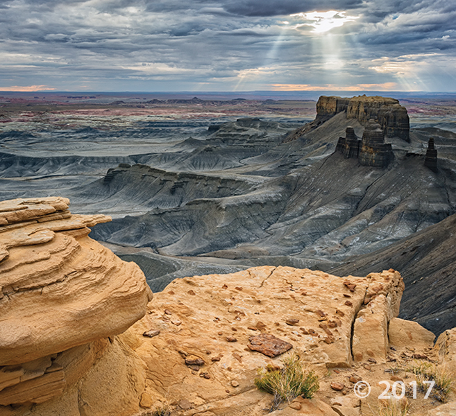
Notom Badlands Wayne County.
Photographer: Gregg Beukelman © 2017
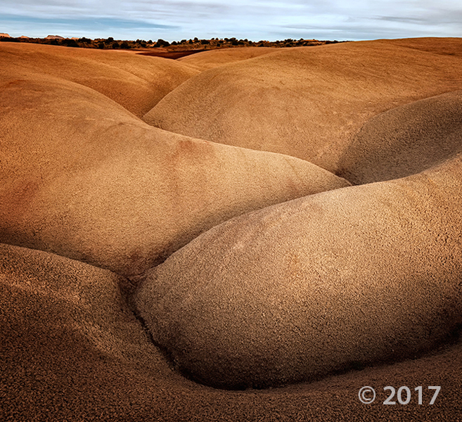
San Rafael Swell, Emery County
Photographer: Don DeBlieux © 2017
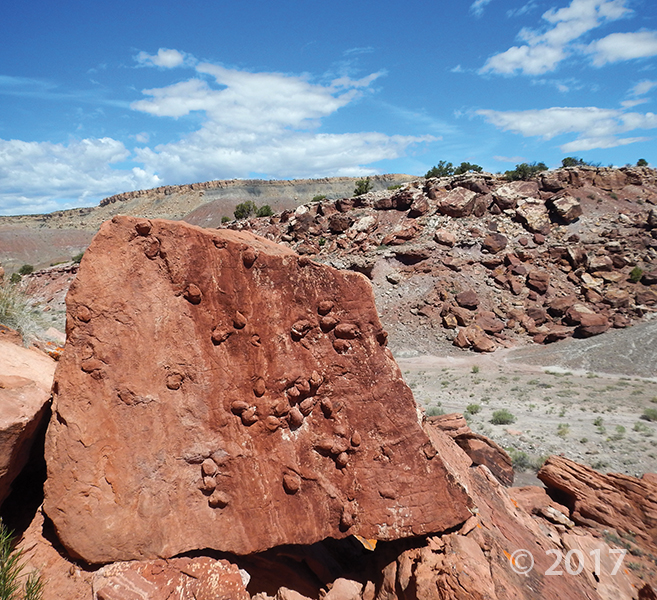
Clam trace fossils on a fallen sandstone block of the Brushy Basin Member of the Jurassic-age Morrison Formation.
The Dollhouse Canyonlands National Park
Photographer: Adam Hiscock © 2017

Waterpocket Fold, Capitol Reef National Park, Garfield County
Photographer: Adam Hiscock © 2017
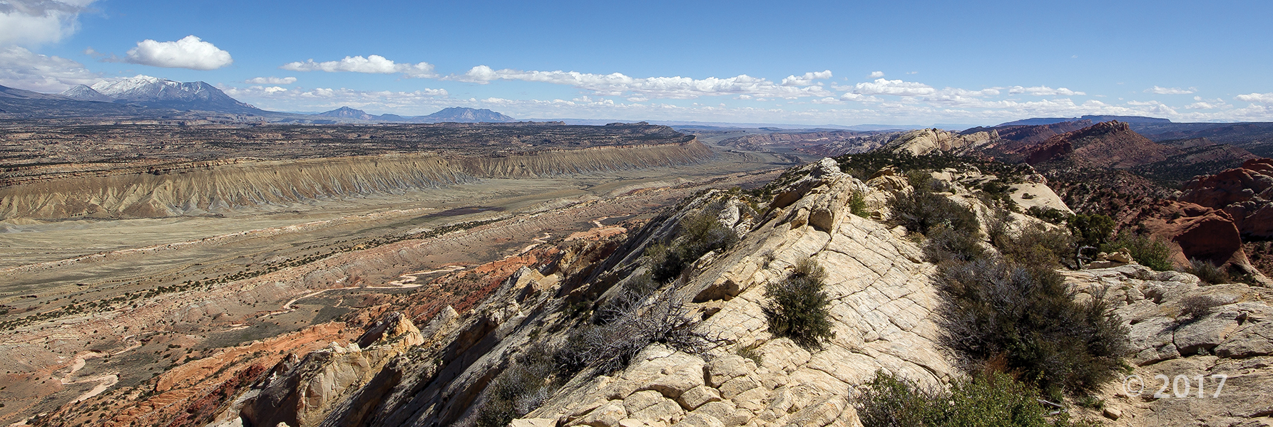
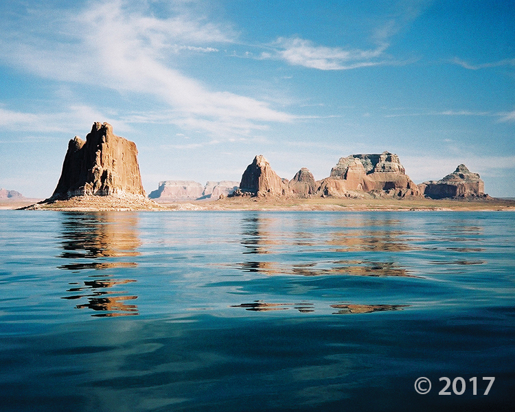
Glen Canyon National Recreation Area
Photographer: Grant Willis © 2017
Padres Butte towers over Lake Powell’s Padre Bay, both named for the Dominguez-Escalante Expedition, which crossed the Colorado River near this site in 1776. Padres and the other buttes in this area are composed of Entrada Sandstone, one of several geologic formations that form the sandstone “slickrock” that typifies much of southern Utah’s landscape.
Fremont petroglyphs
Photographer: Charles Bishop © 2017
At the mouth of Cottonwood Canyon, Fremont petroglyphs in the Northern San Rafael Style depict a hunting scene. The figures are etched into sandstone of the Green River Formation, and derive their contrast from the dark, weathered patina developed on the light-colored rock.
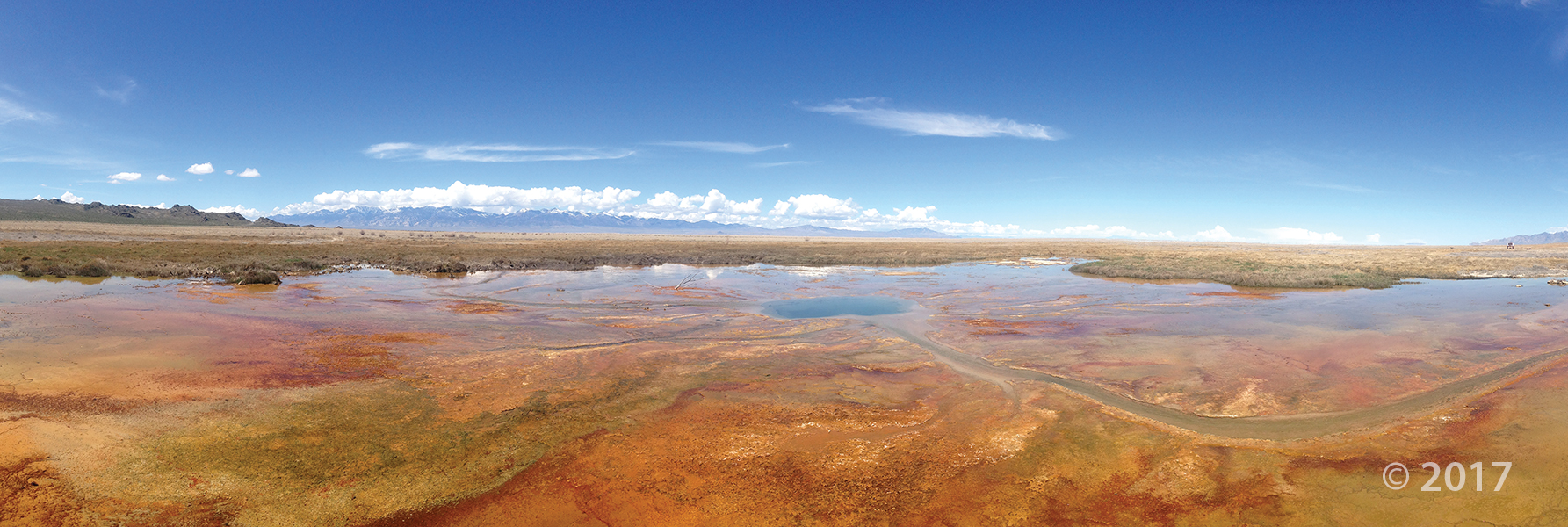
Wilson Springs, Tooele County
Photographer: Ryhan Sempler © 2017
Gandy Salt Marsh, Millard County
Photographer: Rich Emerson © 2017
With the Deep Creek Mountains on the horizon, lush vegetation thrives in spring-fed wetlands that create an oasis in the middle of arid Snake Valley. Hundreds of springs and seeps in the valley provide habitat for many unique species of plants and animals.


The Utah Geological Survey (UGS) is a division of the Utah Department of Natural Resources. Several specialized programs comprise the UGS: Data Management, Energy & Minerals, Geologic Hazards, Geologic Information & Outreach, Geologic Mapping, Groundwater & Wetlands, and Paleontology.