
Snow Canyon State Park, Washington County
Photographer: Paul Inkenbrandt © 2016
Snow Canyon State Park, Washington County
Photographer: Paul Inkenbrandt © 2016

Red Castle Peak and East Red Castle Lake, Summit County
Photographer: Ryhan Sempler; © 2016
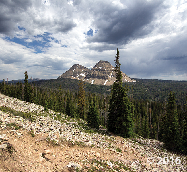
POTD July 26, 2016: Wasatch–Cache National Forest, Summit County, Utah
Photographer: Adam Hiscock © 2016
Reids Peak (11,708 feet) and Bald Mountain (11,943 feet) consist of the late Precambrian-age Mount Watson Formation, part of the Uinta Mountain Group which forms the core of the Uinta Mountains. The spectacular scenery and vistas of the Uinta Mountains result from numerous glacial cycles during the Quaternary Period.

POTD July 12, 2016: Kolob Canyons, Zion National Park, Washington County, Utah.
Photographer: Paul Inkenbrandt; © 2016

Wilson Health Springs and the Deep Creek Range, Tooele and Juab Counties
Photographer: Rich Emerson; © 2016

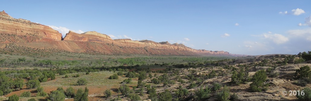
Comb Ridge, San Juan County, Utah
Photographer: J. Lucy Jordan; © 2016


Gooseberry Mesa, Washington County, Utah
Photographer: J. Lucy Jordan; © 2016
Sunset on Gooseberry Mesa shines golden light on cliffs of Triassic-age Shinarump Conglomerate and the underlying slope-forming Moenkopi Formation. White cliffs and peaks in the distance are thrones and temples of Zion National Park, formed of Jurassic-age Navajo Sandstone.


Alstrom Point, Kane County, Utah
Photographer: Marshall Robinson; © 2016
Lake Powell’s Gunsight Bay as seen from Alstrom Point, Kane County.


Happy Canyon, Garfield County, Utah
Photographer: Gregg Beukelman; © 2016
Just above its confluence with the Dirty Devil River, Happy Canyon deeply and abruptly cuts and sculpts the White Rim Sandstone of the Permian-age Cutler Formation.


Wasatch Range east of Layton, Davis County, Utah
Photographer: Ken Krahulec; © 2016

The Utah Geological Survey (UGS) is a division of the Utah Department of Natural Resources. Several specialized programs comprise the UGS: Data Management, Energy & Minerals, Geologic Hazards, Geologic Information & Outreach, Geologic Mapping, Groundwater & Wetlands, and Paleontology.
1594 West North Temple, Suite 3110
Salt Lake City, Utah 84116
801-537-3300 (phone)
801-537-3400 (fax)
Mailing Address:
PO BOX 146100
Salt Lake City, Utah 84114
Monday through Friday,
8 a.m. to 5 p.m.
![]()