Tag Archive for: Photo of the Day
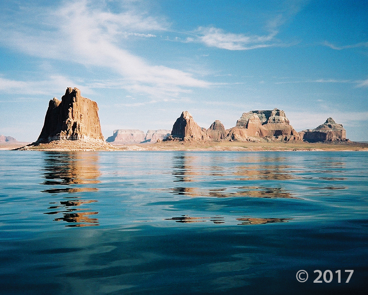
Glen Canyon National Recreation Area
Photographer: Grant Willis © 2017
Padres Butte towers over Lake Powell’s Padre Bay, both named for the Dominguez-Escalante Expedition, which crossed the Colorado River near this site in 1776. Padres and the other buttes in this area are composed of Entrada Sandstone, one of several geologic formations that form the sandstone “slickrock” that typifies much of southern Utah’s landscape.
Fremont petroglyphs
Photographer: Charles Bishop © 2017
At the mouth of Cottonwood Canyon, Fremont petroglyphs in the Northern San Rafael Style depict a hunting scene. The figures are etched into sandstone of the Green River Formation, and derive their contrast from the dark, weathered patina developed on the light-colored rock.
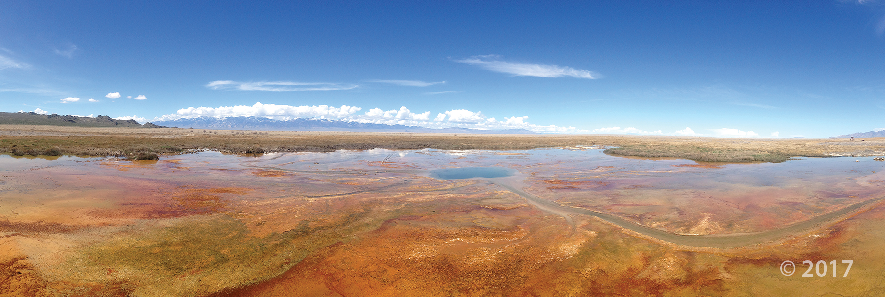
Gandy Salt Marsh, Millard County
Photographer: Rich Emerson © 2017
With the Deep Creek Mountains on the horizon, lush vegetation thrives in spring-fed wetlands that create an oasis in the middle of arid Snake Valley. Hundreds of springs and seeps in the valley provide habitat for many unique species of plants and animals.
Caineville Badlands, Wayne County
Photographer: Gregg Beukelman © 2017
The view from North Caineville Mesa reveals convoluted patterns eroded into the Blue Gate Member of the Cretaceous-age Mancos Shale. The reddish deposits are remnants of a landslide sourced from the Emery Sandstone Member of the Mancos Shale.
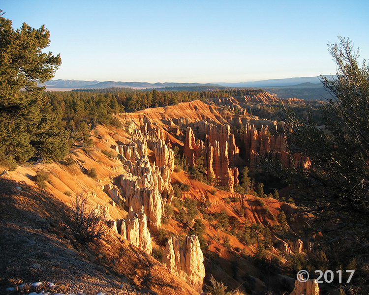
Bryce Canyon National Park
Photographer: Grant Willis © 2017
Bryce Canyon National Park is actually a plateau-edge escarpment carved into the Claron Formation, estimated to be eroding back at the phenomenal rate of as much as 4 feet per century. The orange colors are due to varying amounts of iron oxide minerals that stain calcareous (limey) ancient soil, lake, marsh, and floodplain deposits of the Claron Formation.
Little Cottonwood Canyon, Wasatch Range
Photographer: Michael Vanden Berg © 2017
Alpine wildflowers color the slopes of Albion Basin at the head of Little Cottonwood Canyon. The 11,000-foot-high peaks of the central Wasatch Range owe their height to vertical movement on the Wasatch fault over the past 15 million years.


