 Ken Krahulec © 2018
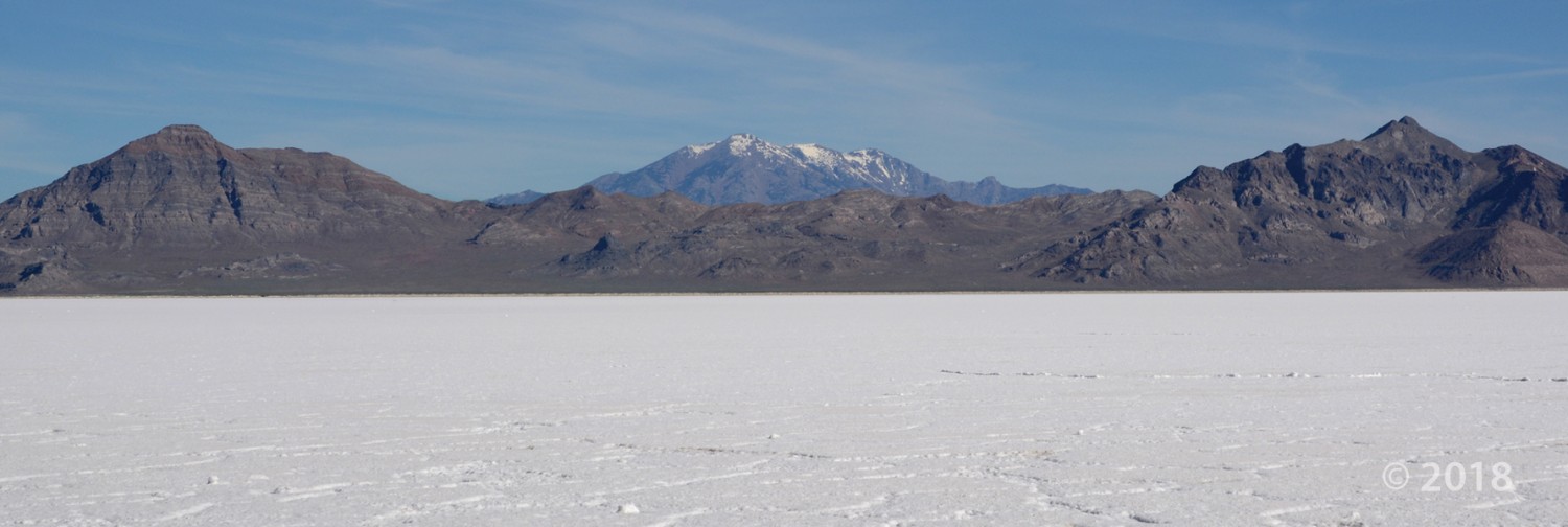
Bonneville Salt Flats, Silver Island Mountains, and Pilot Peak, Box Elder County
Photographer: Ken Krahulec © 2018
Bonneville Salt Flats, Silver Island Mountains, and Pilot Peak, Box Elder County
Photographer: Ken Krahulec © 2018
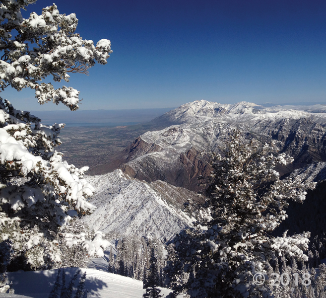
Northern Wasatch Range, Weber County
Photographer: Adam McKean © 2018
Looking north along the steep Wasatch Range, the city of Ogden (on the left) lies in a valley created by the Wasatch fault zone, and the rocks of the mountain range have been deformed by the Ogden and Willard thrust zones.
Henry Mountains, Garfield County
Photographer: Gregg Beukelman © 2018
Intrusive laccoliths, formed between 23 and 31 million years ago, rise spectacularly over 6,000 feet above a surrounding structural basin.
Dixie National Forest, Garfield County
Photographer: Brian Butler © 2018
Jurassic-age Navajo Sandstone cliffs of Death Hollow, as seen from Hells Backbone, glow serenely in the evening twilight.
November 07, 2018: West side of the Mineral Mountains, Beaver County
Photographer: Adam Hiscock © 2018
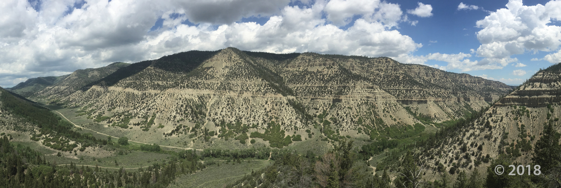
Central Wasatch Range, Salt Lake County
Photographer: Zach Anderson © 2018
Pennsylvanian- and Permian-age limestone and sandstone are illuminated by the setting sun near Grandview Peak.
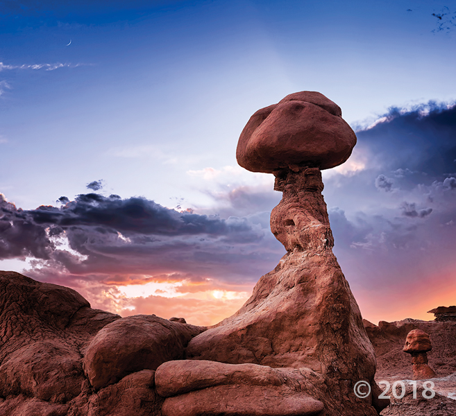
Goblin Valley State Park, Emery County
Photographer: Gregg Beukelman © 2018
Weathering and erosion of the Jurassic-age Entrada Sandstone forms a fantastic array of stone structures locally referred to as “goblins.”
Timber Canyon, Duchesne County
Photographer: Ryhan Sempler © 2018
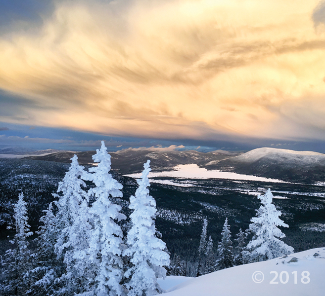
Uinta Mountains, Daggett County
Photographer: Emily Kleber © 2018
Evening light in the eastern Uinta Mountains illuminates receding storm clouds and the snow-covered Oligocene-age Bishop Conglomerate in the valley below.
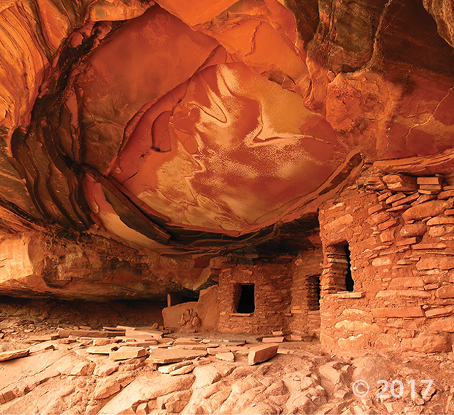
Cedar Mesa, San Juan County
Photographer: Tyler Knudsen © 2017
An overhanging ledge of Permian-age Cedar Mesa Sandstone protects ancestral Puebloan ruins in Road Canyon. The informally named “Fallen Roof” ruin owes its name to the prominent spalling and collapse of thin sandstone slabs from the overhang’s ceiling.
![]()
The Utah Geological Survey (UGS) is a division of the Utah Department of Natural Resources. Several specialized programs comprise the UGS: Data Management, Energy & Minerals, Geologic Hazards, Geologic Information & Outreach, Geologic Mapping, Groundwater & Wetlands, and Paleontology.
 Adam McKean © 2018
 Gregg Beukelman © 2018
 Brian Butler © 2018
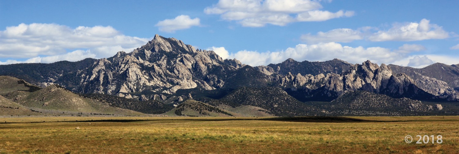 Adam Hiscock © 2018
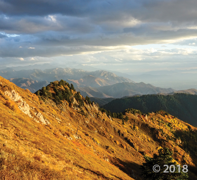 Zach Anderson © 2018