Tag Archive for: open-file report


OFR-643 InsertMedRGB

By: James C. Coogan, Jon K. King, and Greg N. McDonald

The Morgan 7.5′ quadrangle, named for the city of Morgan, is located southeast of Ogden, Utah, and is transected by Morgan Valley where the Weber River, U.S. Interstate Highway 84, and Union Pacific Railroad are located. In the map area, the east-dipping limb and part of the Wasatch anticlinorium are exposed on Durst Mountain, east and north of the Weber River. Interpretations of the geology on Durst Mountain begin with back-rotation of this limb of Paleozoic rocks. Younger Paleozoic and Mesozoic rocks in the limb are exposed to the east in the Devils Slide quadrangle. At least 8000 feet (1800m) cf folded Cenozoic sedimentary rocks fill the fault-bounded Morgan Valley. Some fault scarps are Quaternary in age. The most notable fill is the Eocene and Oligeocene(?) Norwood Formation that underlies roughly the west half of the quadrangle. These altered tuffaceous rocks are prone to landsliding. This CD contains two plates-a geologic map at 1:24,000 scale and an explanation plate-and a 25-page booklet, all in PDF format.

GET IT HERE

OFR-647 insert

By: Douglas A. Sprinkel

The interim geologic map of the east part of the Duchesne 30’x60′ quadrangle (year 3) consists of eighteen 7.5 minute quadrangles and is the third year of a multi-year project to map and compile the geology of this quadrangle. The quadrangle is located mostly in the western Uinta basin, with the northwest corner located along the southwest flank of the Uinta Mountains but the area mapped is centered on Roosevelt, Utah. The map area includes a variety of surficial deposits that range from historic to lower Pleistocene piedmont alluvium, stream alluvium, and glacial deposits. Bedrock map units include members of the Duchesne River formation, the upper two members of the Uinta Formation, and upper two members of the Green River Formation. Members of the Duchesne River Formation are (in descending order) Starr Flat, Lapoint, Dry Gulch Creek, and Brennan Basin. Members of the Uinta Formation are (in descending order) member C and member B. The sandstone and limestone facies and the saline facies are of the Green River Formation are exposed south of U.S. Highway 40 and south-southwest of Duchesne, Utah. Structural features include the axis of the Uinta Basin syncline (and associated folds), the Uinta Basin-Mountain boundary fault zone located in the northern part of the map area with evidence of movement in the Quaternary, and the Duchesne fault zone located in the southern part of the map area. The Duchesne 30’x60′ quadrangle also contains an array of geologic resources including minerals, phosphate, sand and gravel, and gilsonite, but energy resources are the most significant with the giant Altamont-Bluebell and Monument Butte fields included in the quadrangle.

GET IT HERE

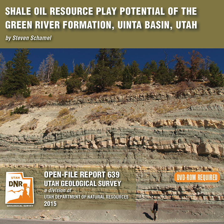
OFR-639 Insert

By: Steven Schamel

The Green River Formation in the Uinta Basin has may characteristics typical of an ideal shale oil resource play. It is a world-class oil-prone source rock. In nearly all parts of the basin there are many thousands of net feet of Type-l and Type-ll kerogen-rich calcareous mudstones, many intervals of which have average total organic carbon (TOC) of 5-10% or greater. In the north-central and western parts of the basin a substantial part of the formation is in the oil-generative window. Furthermore, organic maturation simulations done in this study using PRA BasinView-3D™ indicates early entry into the oil-generative window. In the northwest parts of the basin the lower Green River Formation was generating oil even before the end of the Eocene and slowing of sediment accumulation in the basin. The Green River Formation is unquestionably a superb petroleum system responsible for very large cumulative production of oil and associated natural gas, and an even larger potential oil sand resource. This DVD contains a 65-page report.

GET IT HERE

OFR-638 Insert, Open File Repot, Honeyville Quadrangle

By: Kimm N. Harty and Adam P. Mckean

This 1:24,000-scale surface fault rupture map of the Honeyville quadrangle shows potentially active faults and special-study areas for the Brigham City and Collinston segments of the Wasatch fault zone mapped using primarily 0.5-meter digital LiDAR data acquired in 2013 and 2014. Fault traces were also mapped using black and white stereographic and oblique aerial photographs and previous published sources for the Wasatch fault zone and parts of the West Cache fault zone contained on the Honeyville quadrangle.

GET IT HERE

sltrib.com

Heads up, map geeks! (We know you’re out there.)

The Utah Geological Survey has released a full-color geological map of unprecedented detail of 1,800 square miles of the central Wasatch, which includes wilderness areas and public lands along with human-infested areas, including Heber and Payson.

READ MORE

GET IT HERE

WHOLE-ROCK GEOCHEMICAL DATA FOR THE SOLDIERS PASS QUADRANGLE
Eric H. Christiansen

This report makes available raw analytical data from laboratory procedures completed to determine the geochemistry of rock samples collected during geologic mapping partially supported by the Utah Geological Survey (UGS). Additional information about these samples is available in Biek and others (2009) and Christiansen and others (2007). These  data were prepared by Brigham Young University, Department of Geological Sciences, under contract to the UGS. These data are highly technical in nature and proper interpretation requires considerable training in applicable geochemical techniques.

READ MORE

GET IT HERE

OFR-548COMPILATION OF 1970s WOODWARD-LUNDGREN & ASSOCIATES WASATCH FAULT INVESTIGATION REPORTS AND OBLIQUE AERIAL PHOTOGRAPHY, WASATCH FRONT AND CACHE VALLEY, UTAH AND IDAHO
Steve D. Bowman, Keith Beisner, and Corey Unger

This nine DVD set contains a descriptive 3-page report and digital files created from the Wasatch fault investigation project performed for the Utah Geological and Mineralogical Survey (now the Utah Geological Survey) and the U.S. Geological Survey by Woodward-Lundgren & Associates.  The project was performed to identify surface fault rupture hazard areas along the Wasatch fault and in Cache Valley.  This compilation contains digital scans of the three separate Wasatch fault reports, 47 fault maps, and 1326 oblique aerial photographs (frames).  The digital files include aerial photograph scans in TIFF format, fault maps in TIFF and Adobe PDF formats, and index maps in Google Earth KMZ, GIS shapefile and Adobe PDF formats.  Specialized software (not included) is required to utilize the Google Earth and GIS files, and can be downloaded from the Internet.

This compilation will be useful for professionals involved with paleoseismology investigations; geologic, geotechnical, and environmental assessment and investigation projects; land-use planning and management; government agencies; and the general public and others as an historical archive.  Oblique aerial photography was used to highlight certain topographic features, such as fault scarps and traces, for mapping purposes.

9 DVD set (3 p,. 6 pl., [contains GIS data])

OFR-548……….$74.95

GET IT HERE

PROVISIONAL GEOLOGIC MAP OF THE TINTIC MOUNTAIN QUADRANGLE, JUAB AND UTAH COUNTIES, UTAH
Jeffrey D. Keith, David G. Tingey, Judith L. Hannah, Steven T. Nelson, Daniel K. Moore, Teresa M. Cannan, Alexander P. MacBeth, and Tamalyn Pulsifer

15 p., 1 pl., 1:24,000

OFR-545……….$9.95

GET IT HERE

OFR-538Applicability of carbon dioxide enhanced oil recovery to reservoirs in the Uinta Basin, Utah
Zhiqiang Gu and Milind Deo

This Open-File Report presents the results of compositional simulations of CO2 floods of the Monument Butte Northeast unit and the Glen Bench field. Both fields produce oil from the Tertiary Green River Formation and both are currently in water flood. The Glen Bench field in the eastern Uinta Basin is an extension of the Wonsits Valley and Red Wash fields. Monument Butte Northeast in central Uinta Basin, is a waterflood unit within the Greater Monument Butte field.

The simulation study is a preliminary investigation of the CO2 enhanced oil recovery (EOR) potential. The study attempts to: (1) estimate the post waterflood incremental oil recovery for the two fields using CO2 injection and water-alternating-gas injection, (2) determine CO2 utilization factors (mcf CO2/incremental barrel of oil recovered), and (3) determine the CO2 sequestration potential of EOR for the fields.

Crude oil analysis was performed using the simulated distillation procedure on a gas chromatographic column, and minimum miscibility pressures were calculated. All simulations were performed using the compositional simulator GEM, from the Computer Modeling Group, Calgary, Canada.

This work was funded by the Utah Geological Survey under the “Characterization of Utah’s Hydrocarbon Reservoirs and Potential New Reserves” program (FY 2007).

CD (13 p.)

OFR-538………. $6.95 (print on demand)……….$14.95 (CD)

GET IT HERE