Tag Archive for: geology

Metate Arch is sculpted by weathering and differential erosion of two sandstone layers along the contact of the Gunsight Butte and overlying Cannonville Members of the Jurassic-age Entrada Sandstone. The arch is about 17 miles southeast of Escalante, just east of the Straight Cliffs. Metate Arch, Devils Garden Outstanding Natural Area, Garfield County, Utah Photographer: Ken Krahulec; © 2014

POTD 4-21-15 Devils Garden Metate Arch

Metate Arch, Devils Garden Outstanding Natural Area, Garfield County, Utah
Photographer: Ken Krahulec; © 2014

Erosion has exposed and sculpted Jurassic-age sedimentary rocks in the southern San Rafael Swell. Near Goblin Valley State Park, towering Wild Horse Butte comprises the Morrison and Summerville Formations (top cliff layers), Curtis Formation (middle slope layer), and Entrada Sandstone (bottom reddish layer). San Rafael Swell, Emery County, Utah Photographer: Taylor Boden; © 2014

POTD 4-14-15, San Rafael Swell

San Rafael Swell, Emery County, Utah
Photographer: Taylor Boden; © 2014

Erosion has exposed and sculpted Jurassic-age sedimentary rocks in the southern San Rafael Swell. Near Goblin Valley State Park, towering Wild Horse Butte comprises the Morrison and Summerville Formations (top cliff layers), Curtis Formation (middle slope layer), and Entrada Sandstone (bottom reddish layer).

deseretnews.com

A Colorado River ferry operator named Arthur Chaffin created quite a stir more than half-a-century ago in 1949 when, armed solely with his camera, he set off from his cabin in Hite to a remote place in the Utah outback he’d known about for years he called Mushroom Valley.

READ MORE

Entrada Sandstone in Cathedral Valley, Capitol Reef National Park, Wayne County, Utah Photographer: Tyler Knudsen; © 2014

POTD 4-7-15 Capitol Reef National Park

Entrada Sandstone in Cathedral Valley, Capitol Reef National Park, Wayne County, Utah
Photographer: Tyler Knudsen; © 2014

M-271DM Map Santa Clara Quadrangle

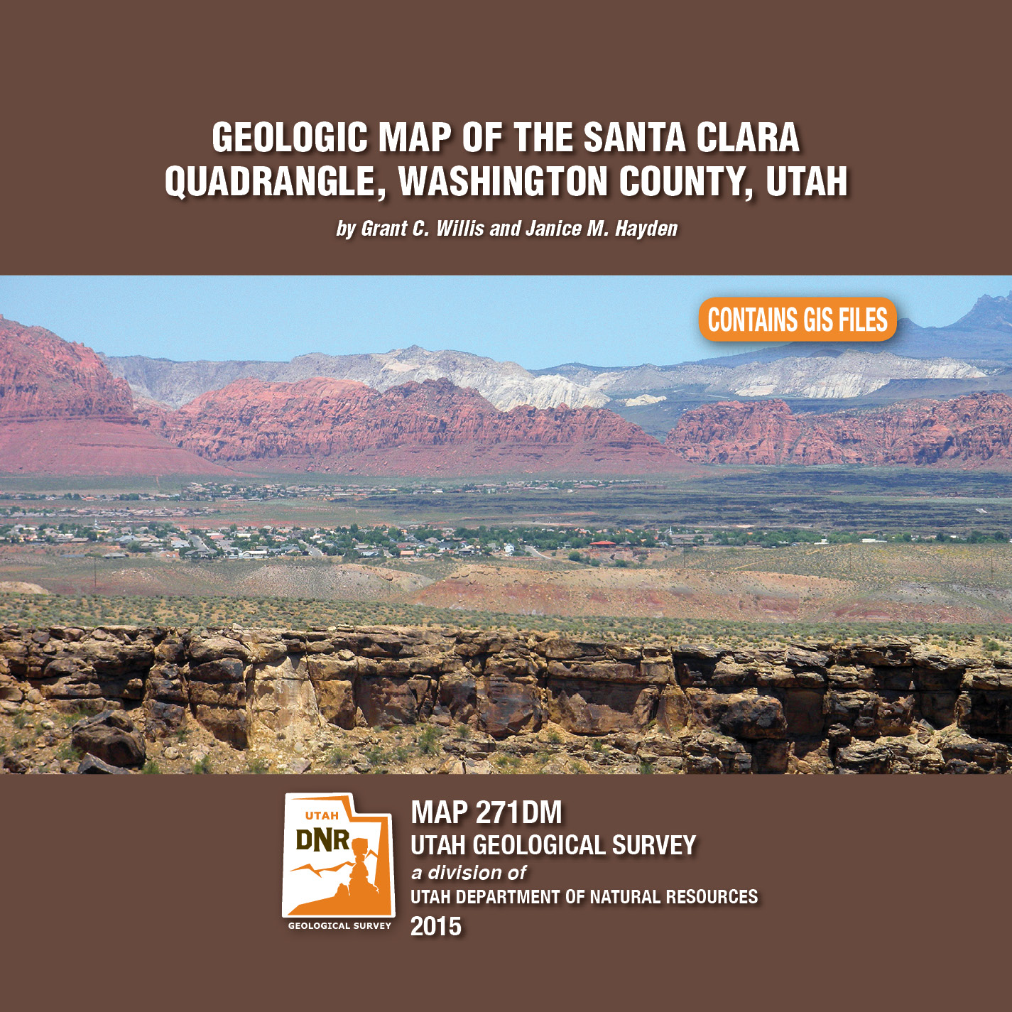
By: Grant C. Willis and Janice M. Hayden

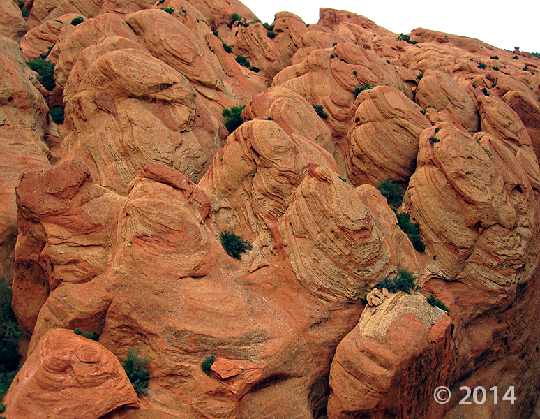
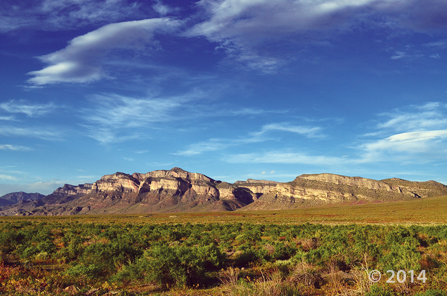
The Santa Clara 7.5′ quadrangle is in the northwestern part of the St. George basin in southwestern Utah, and includes Santa Clara and Ivins Cities, and colorful Red Mountain and Snow Canyon State Park. Movement on an underlying thrust fault created a variety of faults, joints, deformation shear bands, and brecciated rock in Triassic and Jurassic strata in many areas. Remnants of six Quaternary basalt flows cap ridges and benches, forming classic inverted valleys, and form lava cascades in Snow Canyon State Park. The young Santa Clara flow cascaded through Snow Canyon and flooded across broad benches, forming scenic black terrain that contrasts sharply with red-brown to near-white sandstone cliffs. Landslides, rock falls, swelling clays, and other geology and related flooding and debris flow hazards have caused extensive damage in recent years and present increasing challenges as growth and development continue. “Blue Clay” of the Chinle Formation has been at the root of significant damage to roads, buildings, and infrastructure.

GET IT HERE

landslides.usgs.gov

Landslides often occur in response to heavy or prolonged rainfall. On hillsides, gravity is constantly working to pull the soil and rock downslope, and rainfall infiltrating into the ground changes the forces or stresses acting on those hillside materials. If the changes in stress are large enough to overcome the strength of the hillside materials, a landslide occurs. “Debris flows” are a type of landslide initiated by heavy rainfall or rapid snowmelt; the name “debris flow” is derived from the mixture of coarse sediment that geologists call “debris” and water picked up and carried when they flow downslope or down a stream channel. When they happen, debris flows can move rapidly and travel long distances with tremendous momentum. If they occur where people and things are located they cause damage to buildings, block transportation routes, and sometimes kill or injure people. The USGS landslide scientists are trying to find better ways to determine when rainfall might cause debris flows in order to reduce their danger.

READ MORE

upr.org

Humans have had such a huge impact on the Earth that some geologists think the human era should be enshrined in the official timeline of our planet.

READ MORE

The Doll House, Maze District of Canyonlands National Park, Wayne County, Utah Photographer: Tyler Knudsen; © 2014

POTD 3-24-15, doll house, Canyonlands

Not everyone grows up with this kind of doll house! We’re having southern Utah geology day dreams today.

The Doll House, Maze District of Canyonlands National Park, Wayne County, Utah
Photographer: Tyler Knudsen; © 2014

House Range, Millard County, Utah Photographer: J. Lucy Jordan; © 2014

POTD 2-17-15 House Range, Millard County

House Range, Millard County, Utah
Photographer: J. Lucy Jordan; © 2014

Where’s winter? On the upside, today feels a little like this photo—it is gorgeous out there. The mid-week peak is here with another weekend on the way. Who’s got outdoor adventures in their forecast??

San Rafael Swell and Henry Mountains from Temple Mountain, Emery County, Utah Photographer: Paul Kuehne; © 2014

This photo shows another way that ‪#‎UtahGeology‬ can really knock you off of your feet. Don’t forget your sea legs as you look out over the vast sea of geology!

POTD 2-10-15 San Rafael Swell, Henry Mountains, Emery County

San Rafael Swell and Henry Mountains from Temple Mountain, Emery County, Utah
Photographer: Paul Kuehne; © 2014