Tag Archive for: Canyonlands National Park
phys.org
Did everyone have a great weekend? Maybe some of you got out into Utah’s National Parks. Canyonlands National Park is celebrating its 50th anniversary this year. Check out this article showing an aerial photo from space of the park’s grabens that run along the Colorado River, along with other geological highlights.
news.yahoo.com
Parallel valleys called grabens stand out in a new satellite image of Canyonlands National Park in Utah.
ksl.com
Utah is home to five national parks — Zion, Arches, Canyonlands, Capitol Reef and Bryce Canyon. How well can you pick out the geological features and what makes each park famous?
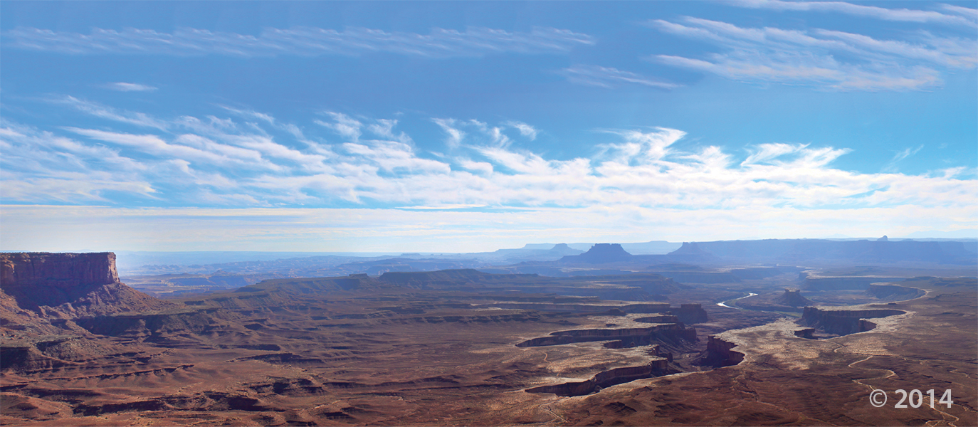
 Canyonlands National Park, San Juan and Wayne Counties, Utah
Photographer: Rich Emerson; © 2012
Uplift of the Colorado Plateau has caused the Green River to entrench its meandering path into the relatively soft rocks of the Permian-age Organ Rock Shale. At Soda Springs Basin, vertical cliffs of the more-resistant White Rim Sandstone cap the Organ Rock Shale 400 feet above the river.
 This scenery is no April Fools’—have a great afternoon!
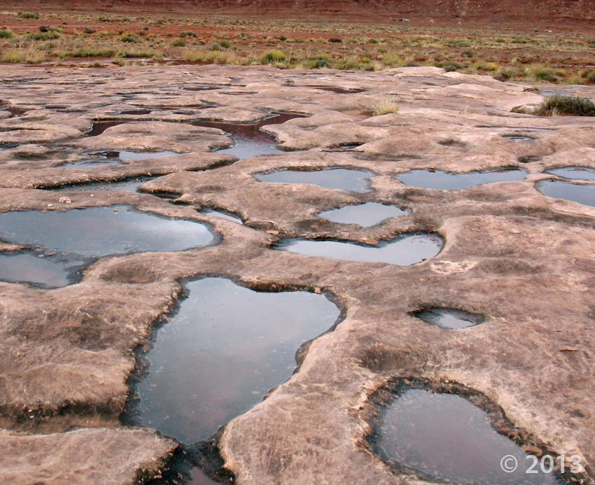
Canyonlands National Park, San Juan County, Utah
Photographer: Don DeBlieux; © 2012
Water from a recent storm fills shallow pools on the Permian-age White Rim Sandstone near the White Rim Trail. The trail traverses a broad bench formed by the resistant sandstone above the confluence of the Green and Colorado Rivers.


