


Hazard News: A Clearer View of Earthquake Risk: New Maps Reveal Central Utah’s Active Faults
by Adam I. Hiscock, Tyler R. Knudsen, and Rachel N. Adam

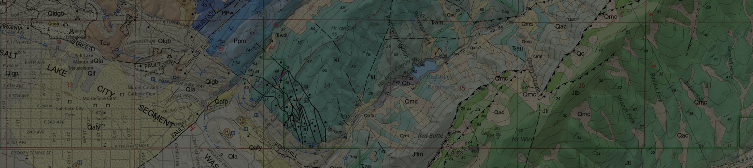
Map showing the central Utah region with new faults mapped as part of this study, alongside significant earthquakes in the area, counties and towns, and major roadways. Inset map at right shows the study area boundary and geological provinces encompassing Utah. Shaded relief base maps generated from ESRI, USGS, and NOAA elevation data.
Utah is earthquake country! Although the bulk of the Utah Geological Survey’s (UGS) active fault mapping has focused on the Wasatch Front and northern Utah, new high-resolution elevation data has allowed us to map active faults (faults which have ruptured the earth’s surface in the past 2.6 million years) in more rural, but still rapidly growing, regions of the state. Several significant and active fault zones run right through the geographical heart of Utah. The central Utah region spans the transition zone between the actively extending Basin and Range Province to the west and the stable Colorado Plateau Province to the east. The region is home to growing communities, major transportation routes, vital infrastructure, and has a history of powerful earthquakes. In fact, two of Utah’s largest historical earthquakes, the 1901 magnitude 6.6 Tushar Mountains and 1921 magnitude 6.0 Elsinore earthquakes, were felt widely in the area, with damage reported throughout the Sevier Valley.
Recognizing earthquake risk in one of Utah’s fastest-growing rural regions, the UGS embarked on a project to remap the area’s active faults capable of producing strong earthquakes. This project covers parts of six counties—Garfield, Juab, Millard, Piute, Sanpete, and Sevier—and provides a critical update to our understanding of the faults and earthquake hazards in the central Utah region. Our work provides the foundational knowledge needed to build more resilient communities and protect the infrastructure that connects our state, ensuring a safer future for all Utahns. Supplemental funding from the U.S. Geological Survey’s Earthquake Hazards Program made this work possible.
Many of the faults in this region were previously identified and mapped by geologists. However, accurately mapping their locations and true extent was challenging. Previous researchers relied on aerial photographs and fieldwork, making it less likely to spot subtle fault escarpments (“scarps”)—the step-like features formed on the landscape created by large earthquakes— especially if the scarps were small or covered by dense vegetation like juniper and sagebrush.
Enter light detection and ranging (lidar) data. This powerful tool allows UGS geologists to digitally “see through” vegetation and expose the bare earth beneath, revealing small or eroded fault scarps that were once difficult to map. Using this data, the region’s active faults were meticulously re-mapped. Compared to previous fault mapping, our new mapping shows more detail and complexity of the faults in the central Utah region.
As part of this new mapping, UGS geologists created recommended surface-fault-rupture special-study zones around each mapped fault trace. These zones are advisory areas where a detailed, site-specific investigation by a geologist is recommended by the UGS prior to new development. These recommendations help ensure safer and smarter community growth, and provide essential guidance for city and county planners to create and enforce geologic-hazard ordinances.
All the data from this project, including the final report, detailed fault maps, and surface-fault-rupture special-study zones, are publicly available through the Utah Geologic Hazards Portal (https://maps.geology.utah.gov/hazards) as well as in a GIS geodatabase along with a detailed report. These resources allow homeowners, developers, and local officials to access the most up-to-date information to make informed decisions.
 vs. new (right) mapped fault traces in the Annabella Graben near Richfield, Utah. Shaded relief base maps generated from ESRI, USGS, and NOAA elevation data.")
Map showing a comparison of old (left) vs. new (right) mapped fault traces in the Annabella Graben near Richfield, Utah. Shaded relief base maps generated from ESRI, USGS, and NOAA elevation data.