smithsonianmag.com
geology.utah.gov
The Utah Geological Survey (UGS) has made the Utah Quaternary Fault and Fold Database available through a new interactive web application on the UGS website. This database contains information on faults and fault-related folds considered to be potential earthquake sources. The faults and folds in the database are considered to have been sources of large earthquakes (about magnitude 6.5 or greater) during the Quaternary geologic time period (past 2.6 million years); these geologic structures are the most likely sources of large earthquakes in the future. The Utah Quaternary Fault and Fold Database is the primary source of Utah data for the Quaternary Fault and Fold Database of the United States maintained by the U.S. Geological Survey (USGS).
The interactive map’s user interface was built using ESRI’s JavaScript API. Several search options allow the user to locate a fault of interest, or specify a location to see if any Quaternary faults are nearby. Pop-up windows provide a brief summary of important information associated with the faults, as well as a link to detailed reports available through the USGS national database. Users can select from a variety of basemaps including topographic, shaded relief, and satellite imagery. A glossary explains terms used in the pop-up windows as well as terms used in the detailed reports that may be unfamiliar to non-geologists.
In addition to the UGS interactive map, the Utah Quaternary Fault and Fold Database exists as a fully attributed GIS feature class in the State Geographic Information Database, and can be downloaded from the AGRC at http://gis.utah.gov/data/geoscience/quaternary-faults.

Boulder Mountain, Garfield County, Utah
Photographer: Elizabeth Firmage; © 2015
Aspen groves produce spectacular fall colors high on Boulder Mountain along the east side of the Aquarius Plateau. Large, rounded boulders eroded from Tertiary-age lava flows give Boulder Mountain its name.
We’re in the thick of winter, but it’s not too early to think about Spring Break. Looking for something fun and educational this year? Check out Dixie State University’s National Parks spring break offering. Students and community members are welcome, and must register by February 1. Find more information in the article below.
stgeorgeutah.com
Dixie State University’s Physical Science Department is offering a national parks spring break trip to both students and community members, March 5-12, in celebration of the National Park Service’s 100-year anniversary.
The American Museum of Natural History has unveiled the enormous 120 ft Titanosaurus exhibit.
Check out a BBC short on this new giant HERE.

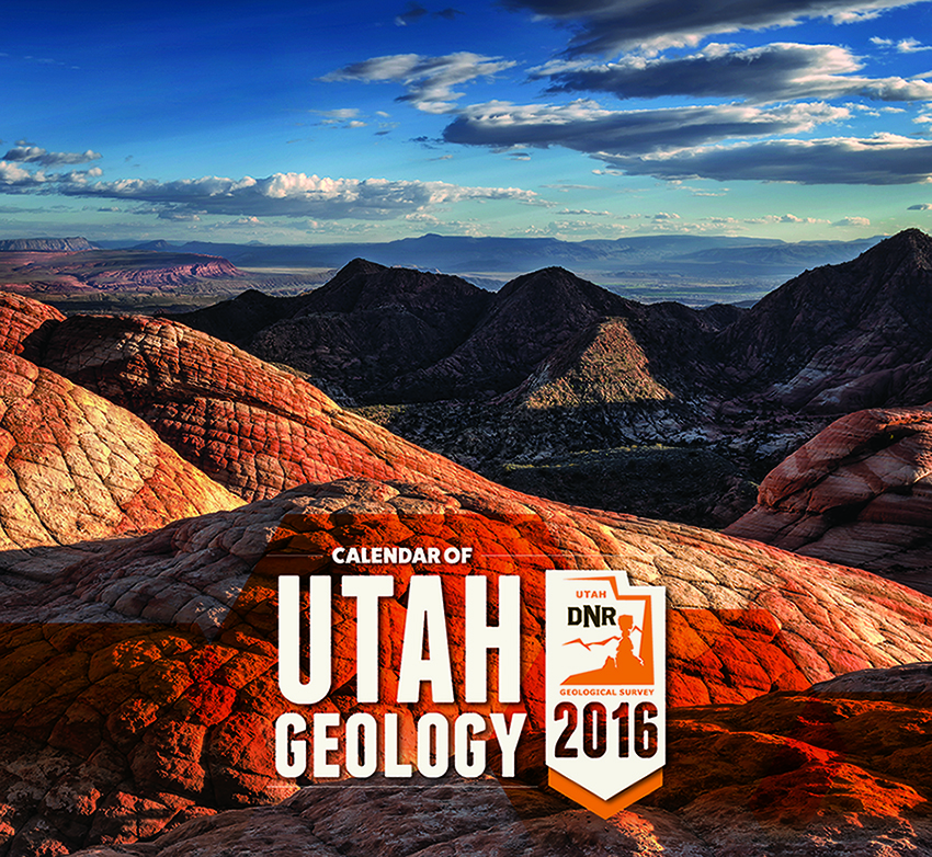
The 2016 Calendar of Utah Geology has been reduced to just ONE DOLLAR! Get a calendar today to help plan tomorrows outdoor adventure. Not an outdoor person? Hang it up and adventure vicariously through all of the beautiful photos inside from the comfort of your own home. Buy them online or get them in our Salt Lake City Bookstore (1594 W North Temple, SLC, UT 84116).
Scientists continue to research the fancy head ware of a group of dinosaurs containing Triceratops. A new study argues that the large boney frills these dinosaurs carried atop their head may have been used to intimidate rivals and woo mates.
news.nationalgeographic.com
A new study suggest that relatives of Triceratops may have intimidated rivals and scored mates with their frilly headwear.
phenomena.nationalgeographic.com
Dinosaur, roughly translated, means “terrible lizard.” The title works any way you look at it. Dinosaurs really were “terrible lizards” because they were about as unlizardlike as a reptile could possibly to be. Looking at it another way, the title encompasses the size, the teeth, and the apparent ferocity of our favorite dinosaurs. But it’s also a misleading moniker. Dinosaurs were not monsters. The non-avian species didn’t spend over 180 million years constantly stabbing, biting, and clawing each other. Tyrannosaurus was a terror and Stegosaurus was gnarly, yes, but there’s so much more to dinosaurs. For instance, some of them were downright cute.

Edited By: William R. Lund
This publication presents four investigations that provide new geologic and paleoseismic data on the Washington fault zone in southwestern Utah and northwestern Arizona. (1) New 1:24,000-scale geologic mapping shows the location and length of young surface ruptures and the relative ages of displaced surficial deposits along the fault zone. Based on the mapping, the former Northern section of the fault zone has been subdivided into the Fort Pearce and Washington Hollow sections. (2) A paleoseismic trenching investigation of a scarp on a latest Quaternary alluvial fan in Arizona that provides information on paleoearthquake timing, displacement, and recurrence for the Fort Pearce section, which traverses the St. George metropolitan area. (3) Trace element and major oxide geochemical correlation and radiometric dating of volcanic flows displaced across the fault that provide early to middle Quaternary vertical slip-rates for the Fort Pearce and Sullivan Draw sections of the fault.. (4) A geotechnical investigation that provides information on fault locations, paleoearthquakes, and displacement no the Fort Pearce section. These investigations show the Fort Pearce section of the Washington fault zone has experienced at least two surface-faulting earthquakes in the Holocene and a minimum of five earthquakes in the past ~68 ka.
Another beautiful morning on the Wasatch Front with another weekend on the way. Big Cottonwood Canyon is looking a little more wintry these days!

Big Cottonwood Canyon, Wasatch Range, Salt Lake County, Utah
Photographer: Paul Inkenbrandt; © 2015


