Happy New Year, everyone!! Here’s a beautiful photo to start out the new year.
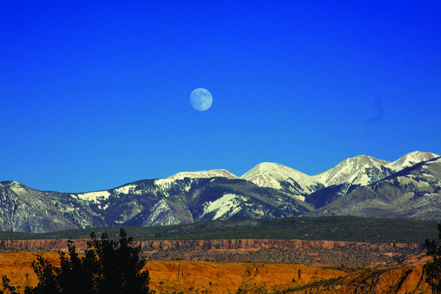
House Range, Millard County, Utah
Photographer: Tyler Knudsen
Sawtooth Mountain, which exhibits desert varnish and spheroidal weathering along joints, is a granitic intrusion in the House Range, Millard County.