
Information & Maps
The Groundwater section conducts multidisciplinary hydrogeologic studies to assess and quantify geologic controls on groundwater conditions, groundwater levels, water-quality issues, recharge-to-discharge flow paths, surface water–groundwater interactions, and geothermal resources. Groundwater studies combine aspects of geology, physical hydrology, water chemistry, geophysics, and, in some cases, wetland and wildlife ecology.
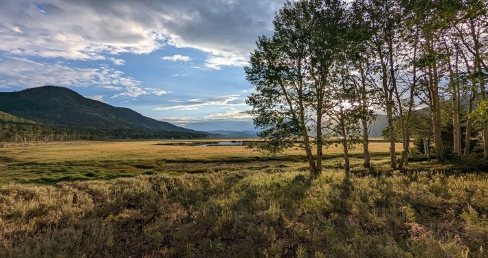
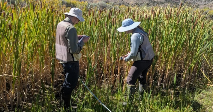
The Wetlands section conducts studies to map, inventory, and assess wetlands to determine the location, type, condition, and potential functions of wetlands in the state and develop a baseline of information to evaluate future change. The Wetlands section developed Utah’s wetland program plan with the Utah Division of Water Quality in 2017, a strategic plan to direct the State’s efforts in wetland research, protection, and regulation, and many of the actions that the UGS takes follow from the plan.
Interactive Maps and Data

Bonneville Salt Flats Storymap

Groundwater Monitoring Portal

Lake Bonneville Storymap

Utah Flux Network

Utah Groundwater Data Hub

Utah Wetlands
Utah’s Montane Ecoregion Wetlands
Wetland Data Explorer

Wetland Mapping Storymap

Wetlands Plant Application
Wetland and Stream Permit Data
The UGS has obtained U.S. Army Corps of Engineers permit data to share publicly, as required by Utah House Bill 118 – Wetland Amendments (2022). These data provide information about permitted impacts to aquatic resources and mitigation projects conducted to offset those impacts.
Utah Wetland Working Group
The goal of the working group is to raise awareness of the Utah Geological Survey’s wetland program and to provide a structured space for state, federal, academic, consultant, and nonprofit partners to share information, identify needs, and coordinate efforts.
Public Interest Articles
Please select a column to search in.
Please type in something to search for.
Topic Articles: 46