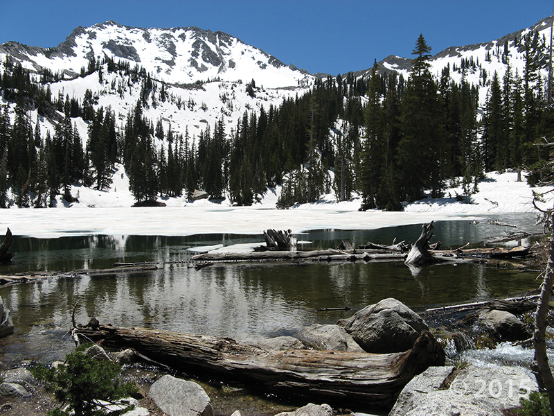
I know there’s snow up in the Wasatch today, but the valley sure feels as nice as this photo!
Big Cottonwood Canyon, Wasatch Range, Salt Lake County, Utah
Photographer: Adam Hiscock; © 2015
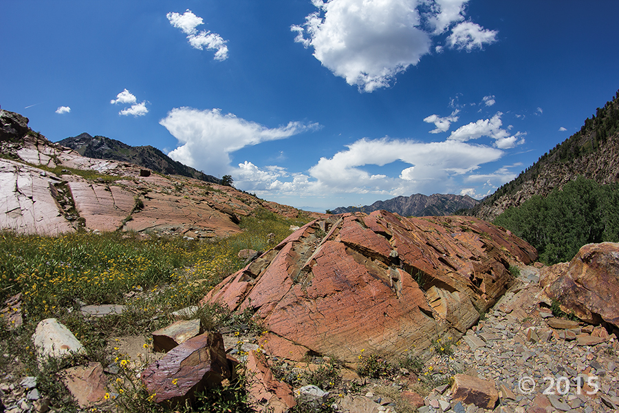
Glacially scoured and polished quartzite of the Precambrian-age Big Cottonwood Formation near Lake Blanche, Big Cottonwood Canyon, Wasatch Range, Salt Lake County.