Tag Archive for: Cache County

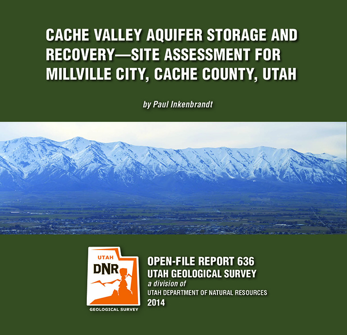
OFR-636 Cache Valley Aquifer, Cache County, Millville City

By: Paul Inkenbrandt

The City of Millville, located in a prime location for aquifer storage and recovery (ASR), is having issues with elevated nitrate in the Glenridge well, a public water supply sourced from the Cache Valley principal aquifer. To alleviate high nitrate, the city performed an initial injection and pumping test using the Glenridge well. Millville injected water from Garr Spring, another public water supply source of which they own water rights, into the Glenridge well for one week at a rate of 500 gallons per minute. They then pumped the well while monitoring geochemistry to determine the effects on the Cache Valley principal aquifer system. The pre-injection nitrate concentration in the Glenridge well was 7.65 mg/l nitrate as nitrogen, and the nitrate concentration after pumping more than 172% of the volume of water injected was 6.52 mg/l nitrate as nitrogen. There is likely some dispersion of the injected spring water via advection in the aquifer.

GET IT HERE

As we find ourselves in another hot Utah summer, some of you may be wondering where the coolest spot in Utah is. Among all the cool places in Utah, the coolest by far is Peter Sinks. High in the Bear River Range in Cache County, Peter Sinks is frequently the coldest place in the United States in wintertime, even colder than anywhere in Alaska. Peter Sinks holds the second-place record—less than half a degree shy of the all-time record at Rogers Pass, Montana—for coldest recorded temperature in the contiguous United States at -69.3°F set on February 1, 1985.

Read more about Peter Sinks in our Glad you Asked article HERE

news.hjnews.com

A Logan man is concerned about the stability of the hillside above his home after a significant weekend mudslide exposed the foundation of a fourplex above on 600 East and filled in the stream through his yard.

READ MORE

By: V.E. Langenheim, R.Q. Oaks, H. Willis, A.I. Hiscock, B.A. Chuchel, J. Rosario, and C.L. Hardwick

A new isostatic residual gravity map of the Tremonton 30′ x 60′ quadrangle of Utah is based on compilation of preexisting data and new data collected by the Utah and U.S. Geological Surveys. Pronounced gravity lows occur over North Bay, northwest of Brigham City, and Malad and Blue Creek Valleys, indicating significant thickness of low-density Tertiary sedimentary rocks and deposits. Gravity highs coincide with exposures of dense pre-Cenozoic rocks in the Promontory, Clarkston, and Wellsville Mountains. The highest gravity values are located in southern Curlew Valley and may be produced in part by deeper crustal density variations or crustal thinning. Steep gradients also coincide with the margins of the Promontory Mountains, Little Mountain, West Hills, and the eastern margin of the North Promontory Mountains and may define concealed basin-bounding faults.

GET IT HERE


This is an exciting new tool on the horizon for planning ahead.

hjnews.com

Developers and homeowners will have the opportunity to look at detailed, updated flood hazards along the Wasatch Front and in Cache County in a couple of years.

READ MORE

Wellsville Mountains, Cache County, Utah
Photographer: Stefan Kirby

Cephalopod fossil in the Mississippian-age Great Blue Limestone along the crest of the Wellsville Mountains, Cache County.

Be sure to follow us on Facebook and Twitter!

Mount Magog (9,750 feet) and White Pine Lake, Cache National Forest, Cache County, Utah
Photographer: Ken Krahulec