
By: Steve D. Bowman, Adam I. Hiscock, and Corey D. Unger
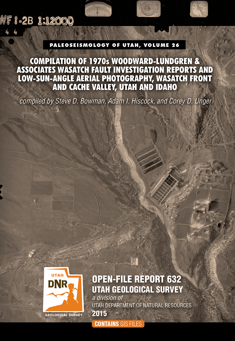
This nine DVD set contains a descriptive 8-page report and digital files created from the Wasatch fault investigation project performed for the Utah Geologic and Mineralogical Survey (now the Utah Geological Suvey) and U.S. Geological Survey by Woodward-Lundgren & Associates. The project was performed to identify surface fault rupture hazard areas along the Wasatch fault in Cache Valley. This compilation contains digital scans of three separate Wasatch fault reports, 47 fault maps, and 1382 scanned low-sun-angle-arial photographs (frames). The digital files include aerial photograph scans in TIFF format, fault maps in TIFF and Adobe PDF formats, and index maps in Google Earth KMZ, GIS shapefile and Adobe PDF formats. Specialized software (not included) is required to utilized the Google Earth and GIS files, and can be downloaded from the internet.
This compilation will be useful for professionals involved with paleoseismology investigations; land-use planning and management; government agencies; and the general public and others as a historical archive. Low-sun-angle aerial photography was used to highlight certain topographic features, such as fault scarps and traces, for mapping purposes.