Caineville Badlands, Wayne County
Photographer: Gregg Beukelman © 2017
The view from North Caineville Mesa reveals convoluted patterns eroded into the Blue Gate Member of the Cretaceous-age Mancos Shale. The reddish deposits are remnants of a landslide sourced from the Emery Sandstone Member of the Mancos Shale.

Bryce Canyon National Park
Photographer: Grant Willis © 2017
Bryce Canyon National Park is actually a plateau-edge escarpment carved into the Claron Formation, estimated to be eroding back at the phenomenal rate of as much as 4 feet per century. The orange colors are due to varying amounts of iron oxide minerals that stain calcareous (limey) ancient soil, lake, marsh, and floodplain deposits of the Claron Formation.

Little Cottonwood Canyon, Wasatch Range
Photographer: Michael Vanden Berg © 2017
Alpine wildflowers color the slopes of Albion Basin at the head of Little Cottonwood Canyon. The 11,000-foot-high peaks of the central Wasatch Range owe their height to vertical movement on the Wasatch fault over the past 15 million years.


NEW PUBLICATION

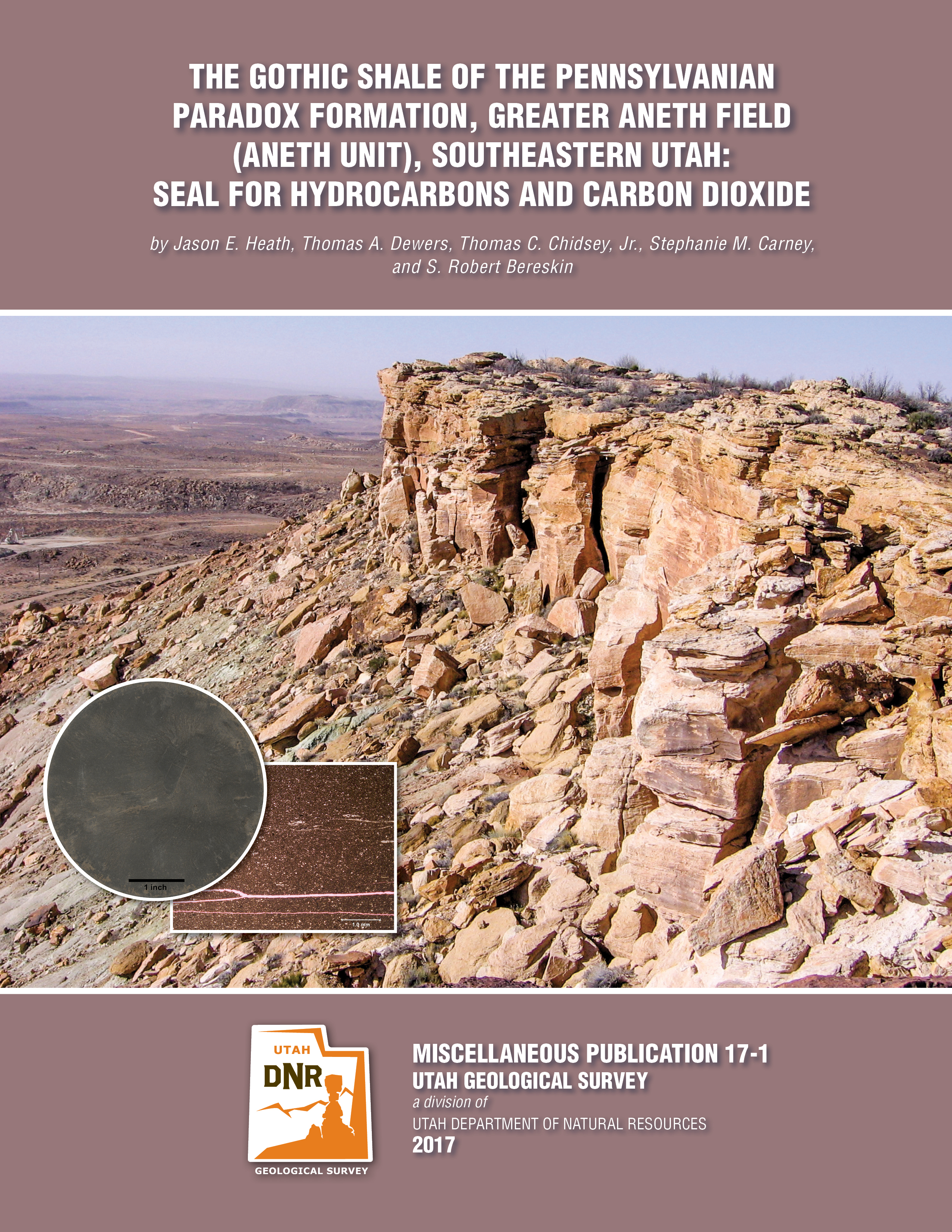
The Gothic Shale of the Pennsylvanian Paradox Formation, Greater Aneth Field (Aneth Unit), Southeastern Utah: Seal for Hydrocarbons and Carbon Dioxide
By: Jason E. Heath, Thomas A. Dewers, Thomas C. Chidsey, Jr., Stephanie M. Carney, and S. Robert Bereskin

Greater Aneth oil field, Utah’s largest oil producer, has produced over 483 million barrels of oil. Located in the Paradox Basin of southeastern Utah, Greater Aneth is a stratigraphic trap producing from the Pennsylvanian Paradox Formation. Because Greater Aneth is a mature, major oil field in the western U.S., and has a large carbonate reservoir, it was selected to demonstrate combined enhanced oil recovery and carbon dioxide (CO2) storage. The Gothic shale seals the underlying Desert Creek oil reservoir, both in the Paradox Formation. Within the Aneth Unit in the northwestern part of the field, the Gothic is remarkably uniform, consisting of 7 to 26 feet (2–8 m) of black to gray, laminated to thin-bedded, dolomitic marine shale.

This 31-page Miscellaneous Publication is a detailed evaluation of the Gothic seal in the Aneth Unit and its effectiveness at supporting large CO2 and hydrocarbon columns in the Desert Creek reservoir below. This study includes geochemical, petrological, petrophysical, and geomechanical analyses that determined (1) the geologic controls on sealing effeciency, (2) effects of pressure changes on the seal due to CO2 injection and storage, and (3) possible chemical interaction between CO2 and the seal at its contact with the reservoir through time.

GET IT HERE: 

Knolls Recreation Area, Tooele County.
Photographer: Lori Steadman © 2017


Our latest issue of Survey Notes is here!
Find articles on the Tooele 30’x 60′ quadrangle geologic map and practical uses of geologic maps, along with our regular featured columns.

View the latest issue here:

Check out past issues here: 

Holocene Surface-Faulting Earthquakes at the Spring Lake and North Creek Sites on the Wasatch Fault Zone: Evidence for Complex rupture of the Nephi Segment

By: Christopher B. DuRoss, Michael D. Hylland, Adam I. Hiscock, Stephen F. Personius, Richard W. Briggs, Ryan D. Gold, Gregg S. Beukelman, Greg N. McDonald, Ben A. Erickson, Adam P. McKean, Stephen J. Angster, Roselyn King, Anthony J. Crone, and Shannon A. Mahan

GET IT HERE:

This 44-page report presents new data from the Spring Lake and North Creek trench sites on the Nephi segment of the Wasatch fault zone. We use paleoseismic data from these sites to refine Holocene earthquake chronologies for the northern and southern strands of the segment, calculate earthquake recurrence and fault slip rates, and assess whether the strands rupture independently or synchronously in large earthquakes. At the Spring Lake site, at least five to seven earthquakes occurred since ~13.1 ka, yielding a mean Holocene recurrence of ~1.2–1.5 kyr; at the North Creek site, at least five earthquakes occurred since ~4.7 ka, yielding a mean recurrence ~1.1–1.3 kyr. We integrate these results with previous paleoseismic data for the segment, discuss the timing and recurrence of large Nephi segment earthquakes, and evaluate possible models of surface-fault rupture involving the two fault strands.