Tag Archive for: DNR

good4utah.com

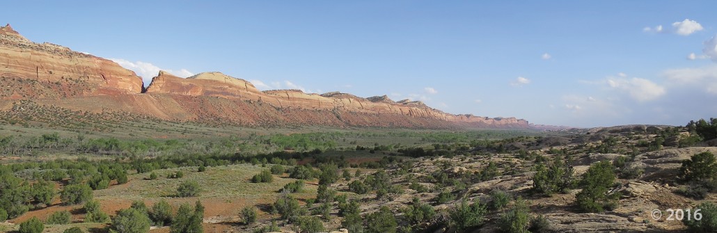
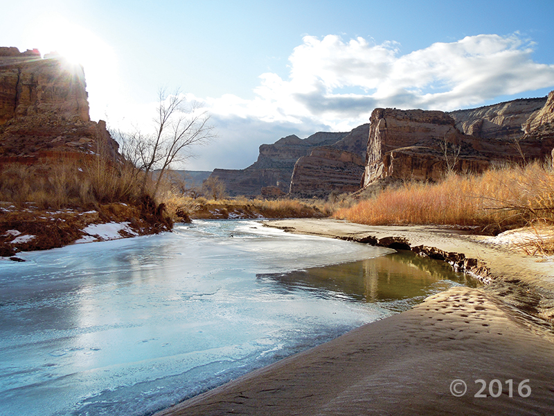
The Good4Utah Road Tour rolled into Vernal Wednesday. In this town, you can find something to do rain or shine. At the indoor Utah Field House Museum, you’ll find amazing state history, but when the sun is shining, Red Fleet State Park is the place to be.

READ MORE

usgs.gov

A new report illustrates how groundwater pumping can affect the amount of water available in streams within the Malad-Lower Bear River Area in Utah. The product was developed by the U.S. Geological Survey, in cooperation with the Utah Department of Natural Resources, Division of Water Rights.

READ MORE

moabsunnews.com

Science is fun and should be accessible to everyone – plus, there are many interesting scientific happenings on the Colorado Plateau – according to organizers of the first-ever Moab Festival of Science, scheduled for Thursday, Sept. 22, through Sunday, Sept. 25.

READ MORE

Comb Ridge, San Juan County, Utah Photographer: J. Lucy Jordan; © 2016

comb ridge POTD 6-14-16

Comb Ridge, San Juan County, Utah
Photographer: J. Lucy Jordan; © 2016

Sunset on Gooseberry Mesa shines golden light on cliffs of Triassic-age Shinarump Conglomerate and the underlying slope-forming Moenkopi Formation. White cliffs and peaks in the distance are thrones and temples of Zion National Park, formed of Jurassic-age Navajo Sandstone. Gooseberry Mesa, Washington County, Utah Photographer: J. Lucy Jordan; © 2016

POTD 5-31-16 Washington County

Gooseberry Mesa, Washington County, Utah
Photographer: J. Lucy Jordan; © 2016

Sunset on Gooseberry Mesa shines golden light on cliffs of Triassic-age Shinarump Conglomerate and the underlying slope-forming Moenkopi Formation. White cliffs and peaks in the distance are thrones and temples of Zion National Park, formed of Jurassic-age Navajo Sandstone.

Lake Powell’s Gunsight Bay as seen from Alstrom Point, Kane County. Alstrom Point, Kane County, Utah Photographer: Marshall Robinson; © 2016

5-24-16

Alstrom Point, Kane County, Utah
Photographer: Marshall Robinson; © 2016

Lake Powell’s Gunsight Bay as seen from Alstrom Point, Kane County.

Just above its confluence with the Dirty Devil River, Happy Canyon deeply and abruptly cuts and sculpts the White Rim Sandstone of the Permian-age Cutler Formation. Happy Canyon, Garfield County, Utah Photographer: Gregg Beukelman; © 2016

POTD 5-17-16 Happy Canyon Garfield County

Happy Canyon, Garfield County, Utah
Photographer: Gregg Beukelman; © 2016

Just above its confluence with the Dirty Devil River, Happy Canyon deeply and abruptly cuts and sculpts the White Rim Sandstone of the Permian-age Cutler Formation.

Wasatch Range east of Layton, Davis County, Utah Photographer: Ken Krahulec; © 2016

POTD 5-10-16 Wasatch Range Davis County

Wasatch Range east of Layton, Davis County, Utah
Photographer: Ken Krahulec; © 2016

Short days and low winter sun cause ice to form along the San Rafael River where it cuts through the west flank of the San Rafael Swell. The 1,100-foot-deep canyon exposes the Jurassic-Triassic-age Glen Canyon Group along the cliffs and ledges of the canyon walls. Little Grand Canyon of the San Rafael River, Emery County, Utah Photographer: Zach Anderson; © 2016

POTD 5-3-16 San Rafael River Emery County

Little Grand Canyon of the San Rafael River, Emery County, Utah
Photographer: Zach Anderson; © 2016

Short days and low winter sun cause ice to form along the San Rafael River where it cuts through the west flank of the San Rafael Swell. The 1,100-foot-deep canyon exposes the Jurassic-Triassic-age Glen Canyon Group along the cliffs and ledges of the canyon walls.

Lower Bells Canyon Reservoir and glacially sculpted Bells Canyon, Wasatch Range, Salt Lake County. Bells Canyon, Wasatch Range, Salt Lake County, Utah Photographer: Jim Davis; © 2015

POTD 4-26-16 Bells Canyon Salt Lake County

Bells Canyon, Wasatch Range, Salt Lake County, Utah
Photographer: Jim Davis; © 2015

Lower Bells Canyon Reservoir and glacially sculpted Bells Canyon, Wasatch Range, Salt Lake County.